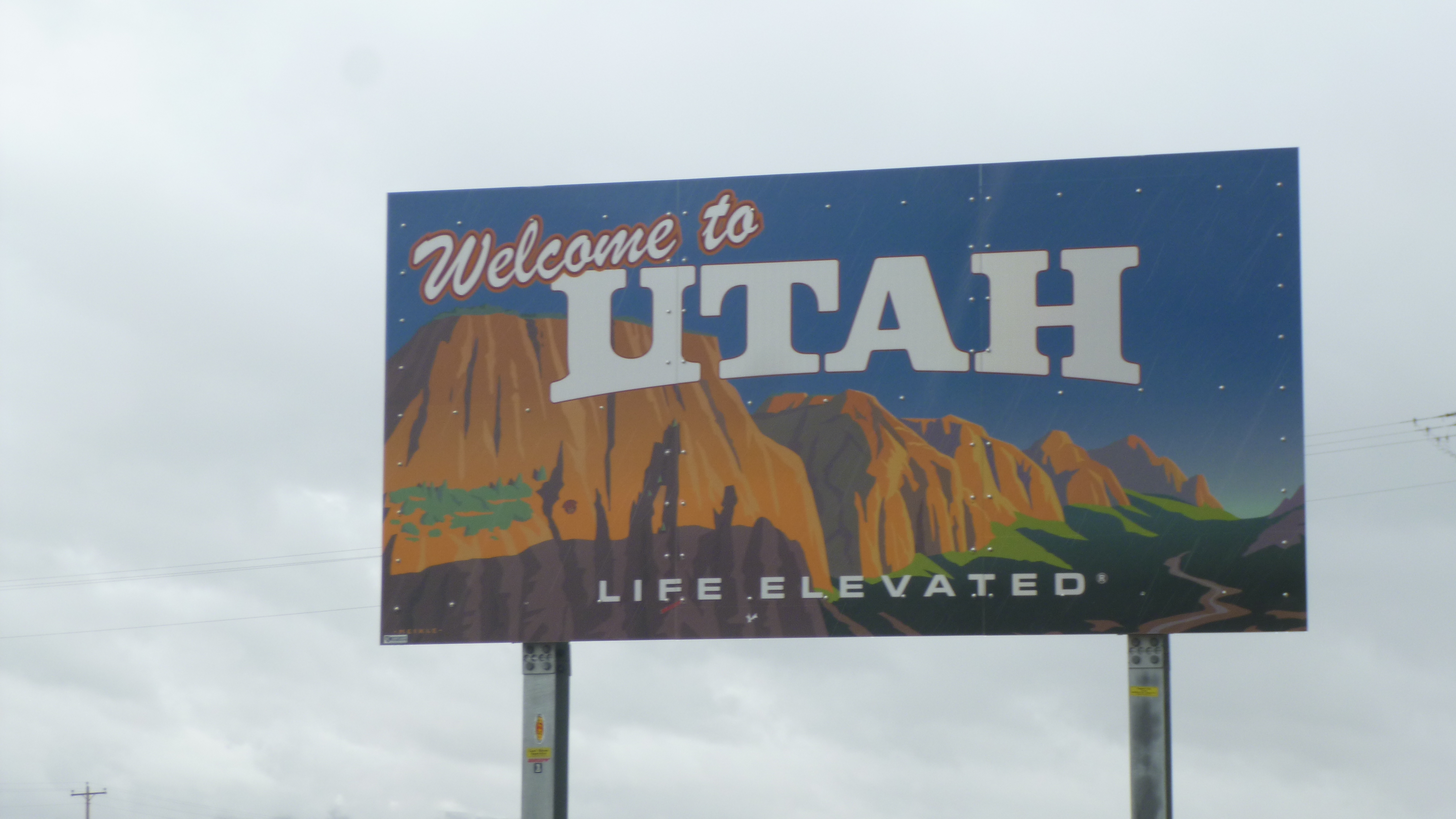
Utah – Tuesday, September 17
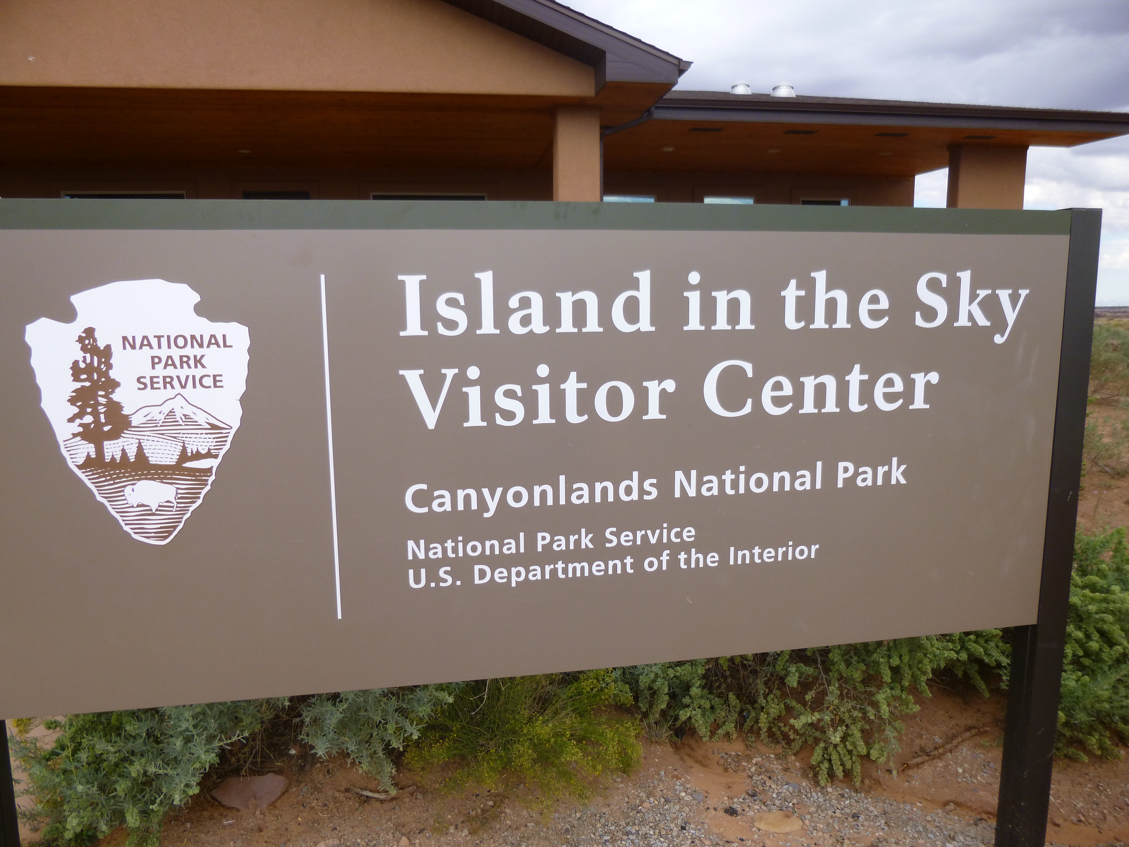
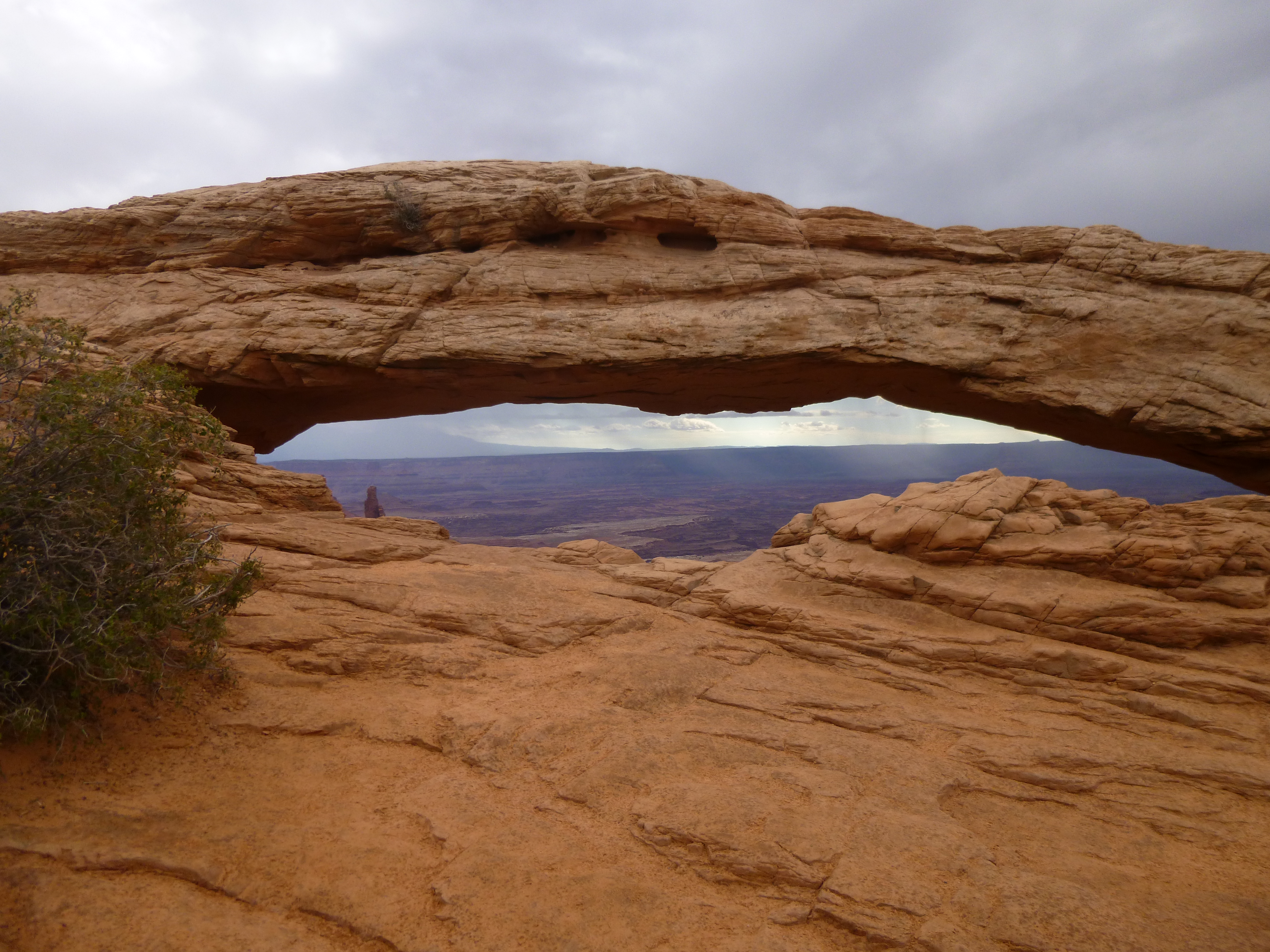
Tula and I took a walk around all the loops of the campground first thing this morning – it was bigger than I thought when I drove in last night. Then we finished the drive to Canyonlands National Park, which is so close to Arches that it seemed silly to not get to that one also. I stopped at the visitor center again for some suggestions about walks, and then set off to enjoy the park. My first walk of the day took me to another Mesa Arch. Even though I’d seen a lot of arches yesterday, this was another pretty one.
Then I drove a bit farther and took a 2 1/2 mile walk out to see the canyons. I was keeping my eyes on a storm moving in, so I didn’t quite do the whole walk – I think it would have been a 3 mile trip if I had. But thunder was rumbling so I turned around. I got rained on a bit, and then the storm seemed to move by south of the park, although it was a bit hazy out.
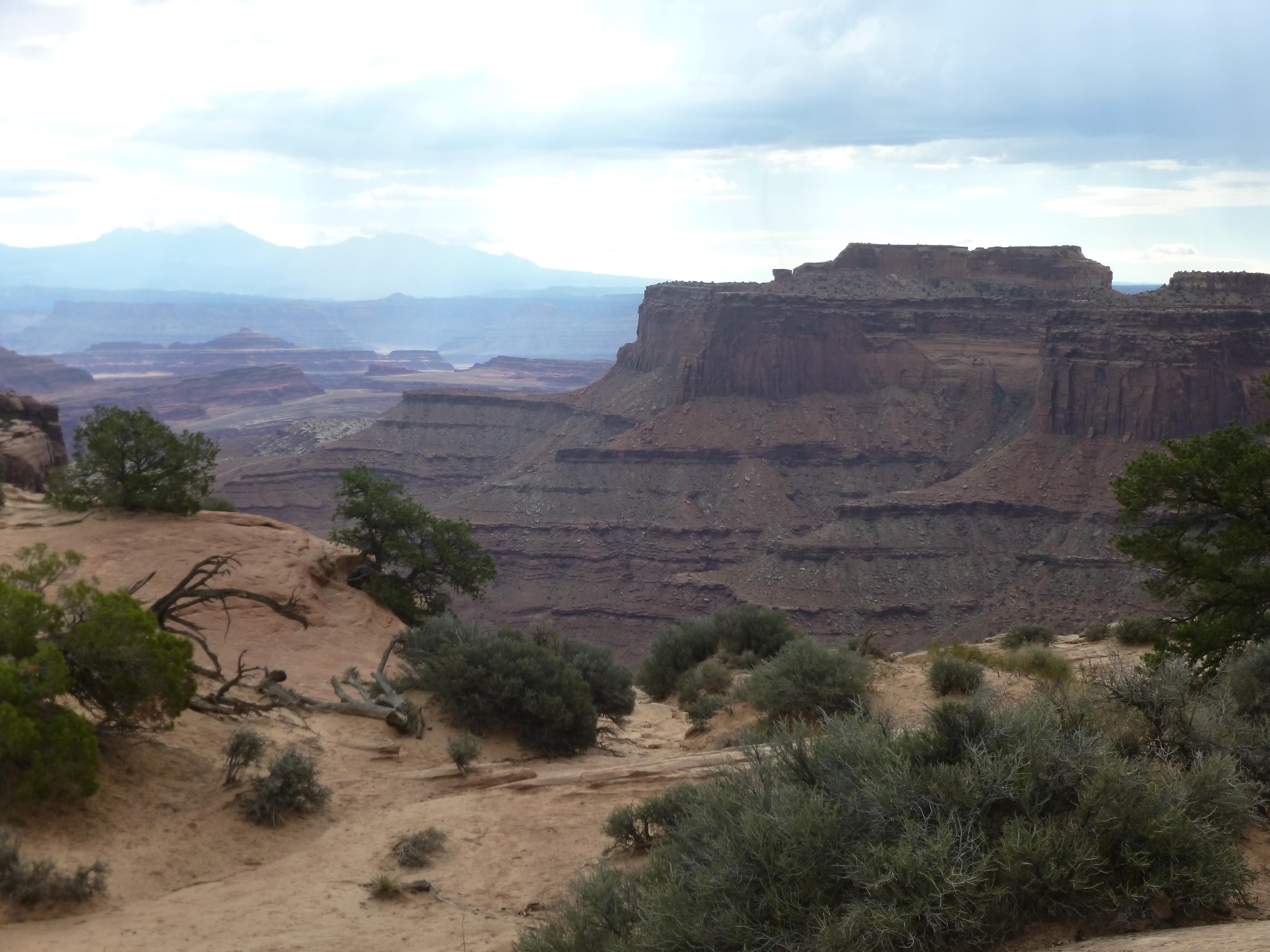
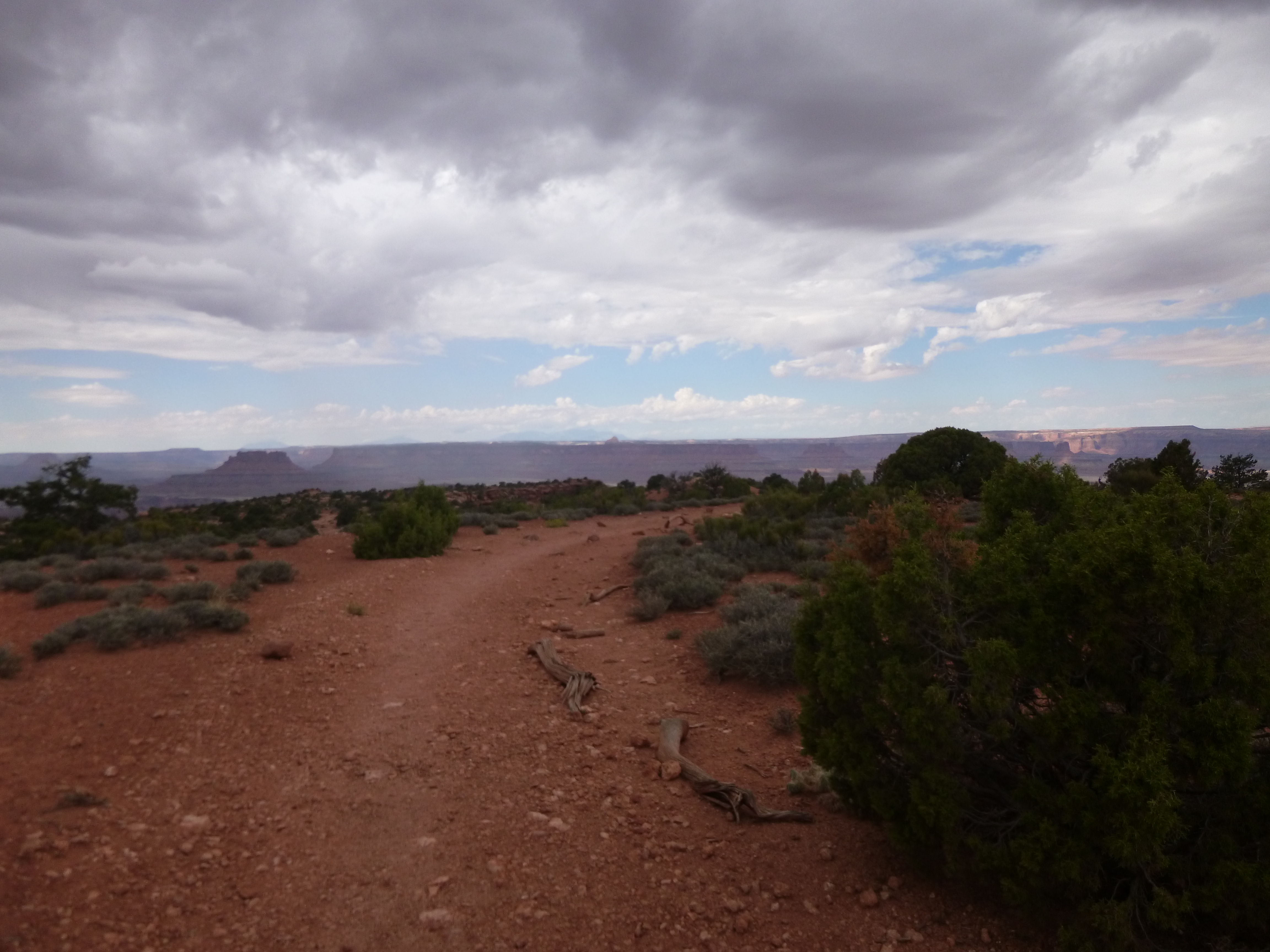
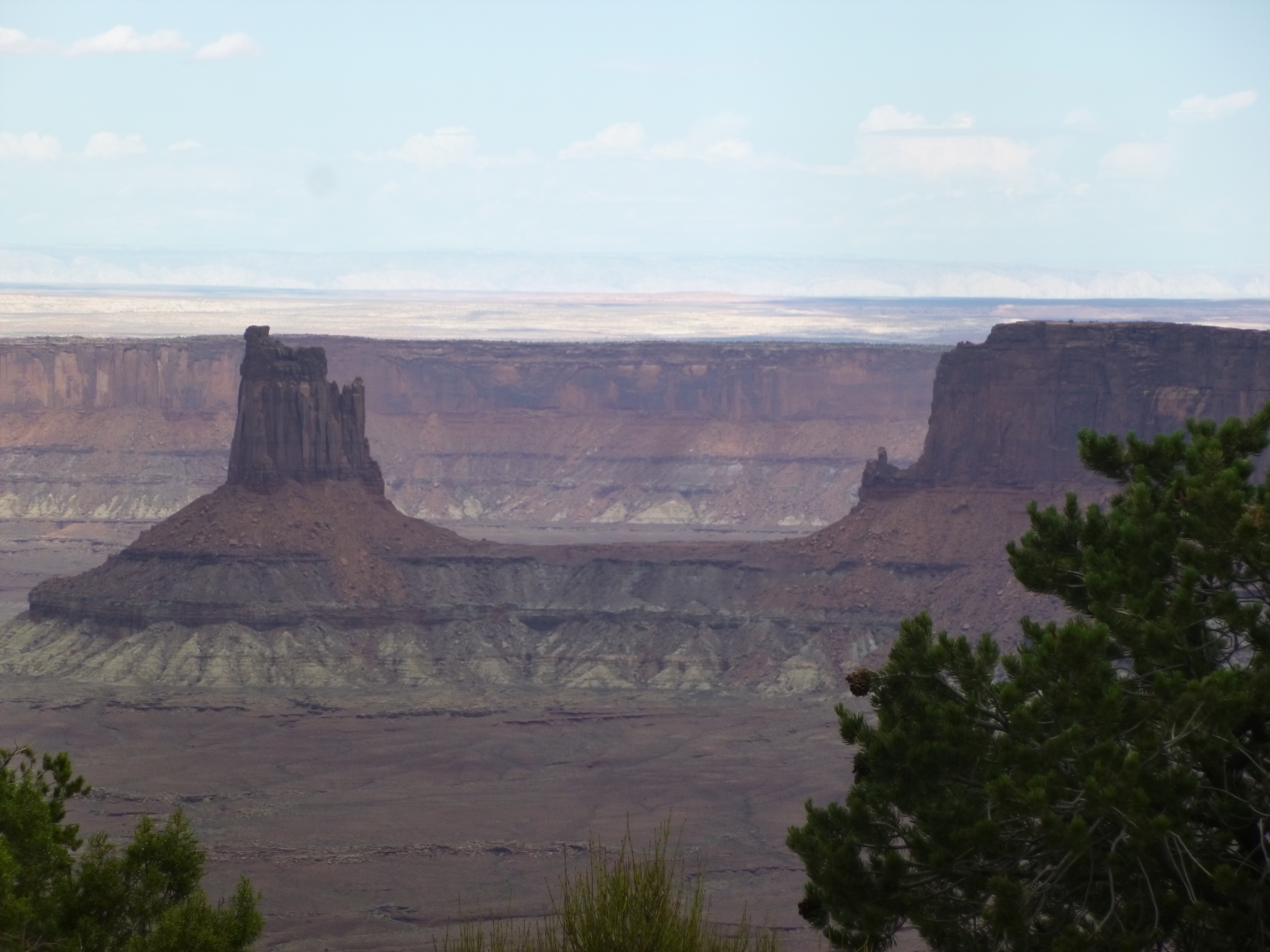
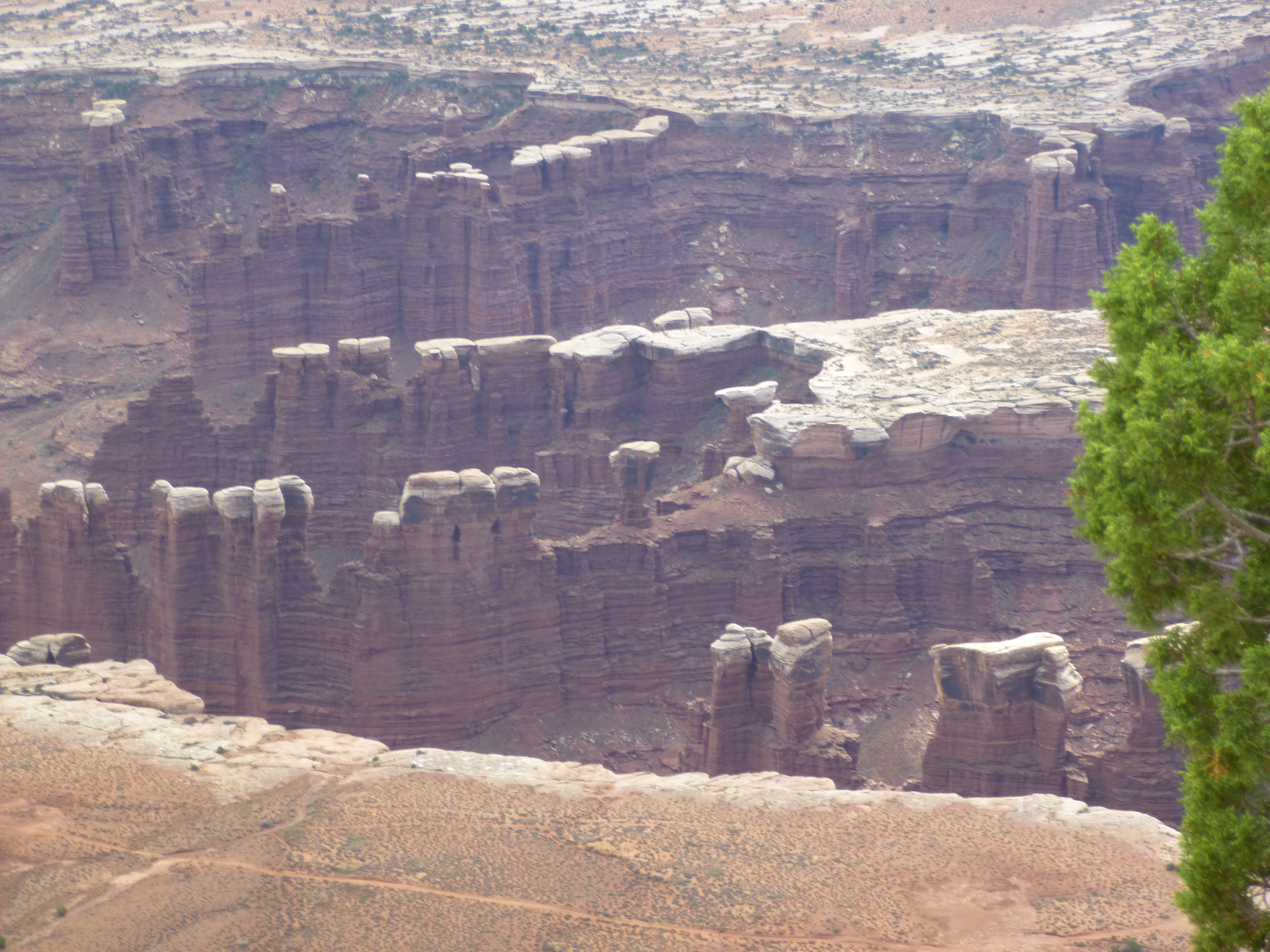
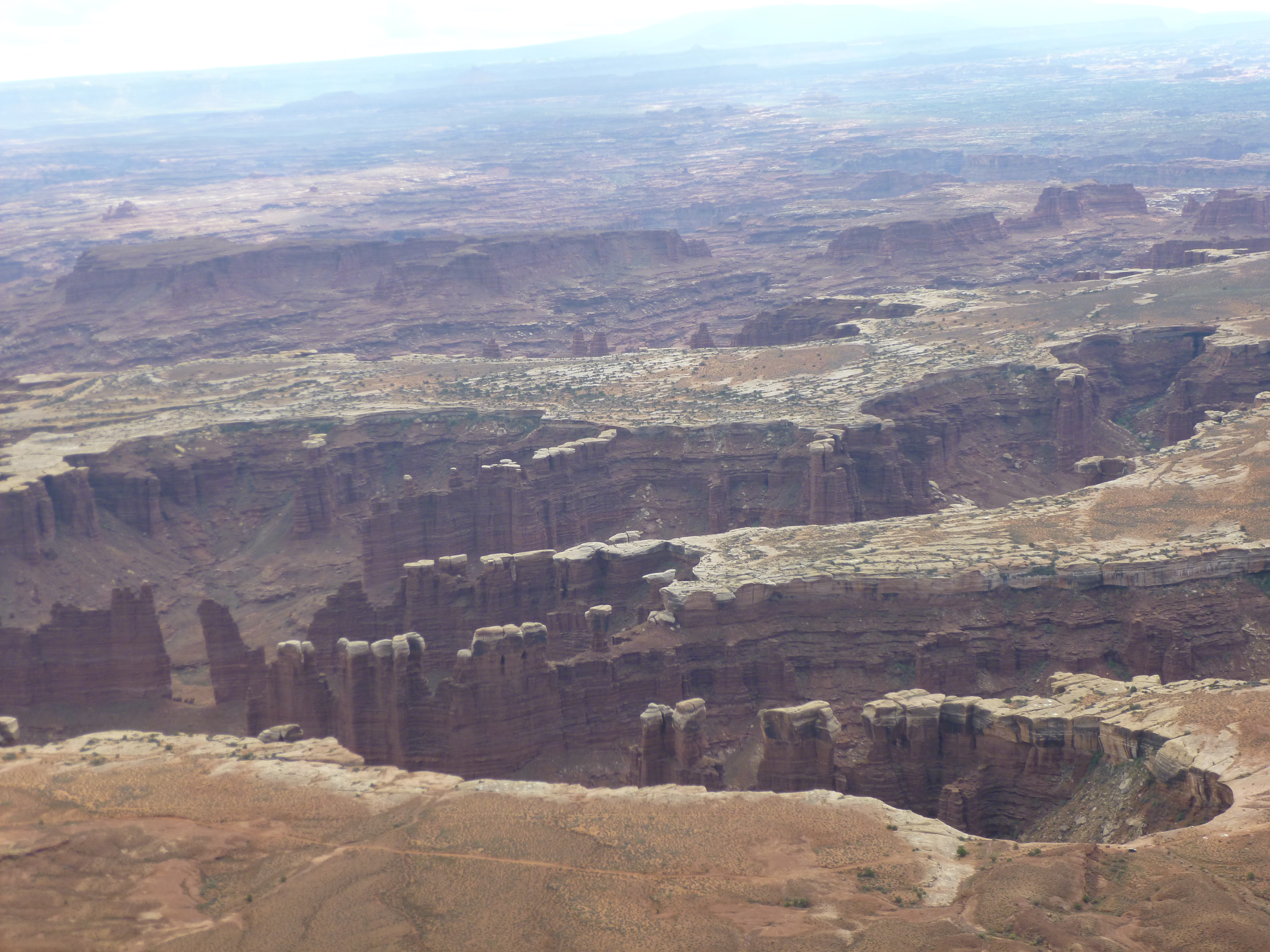
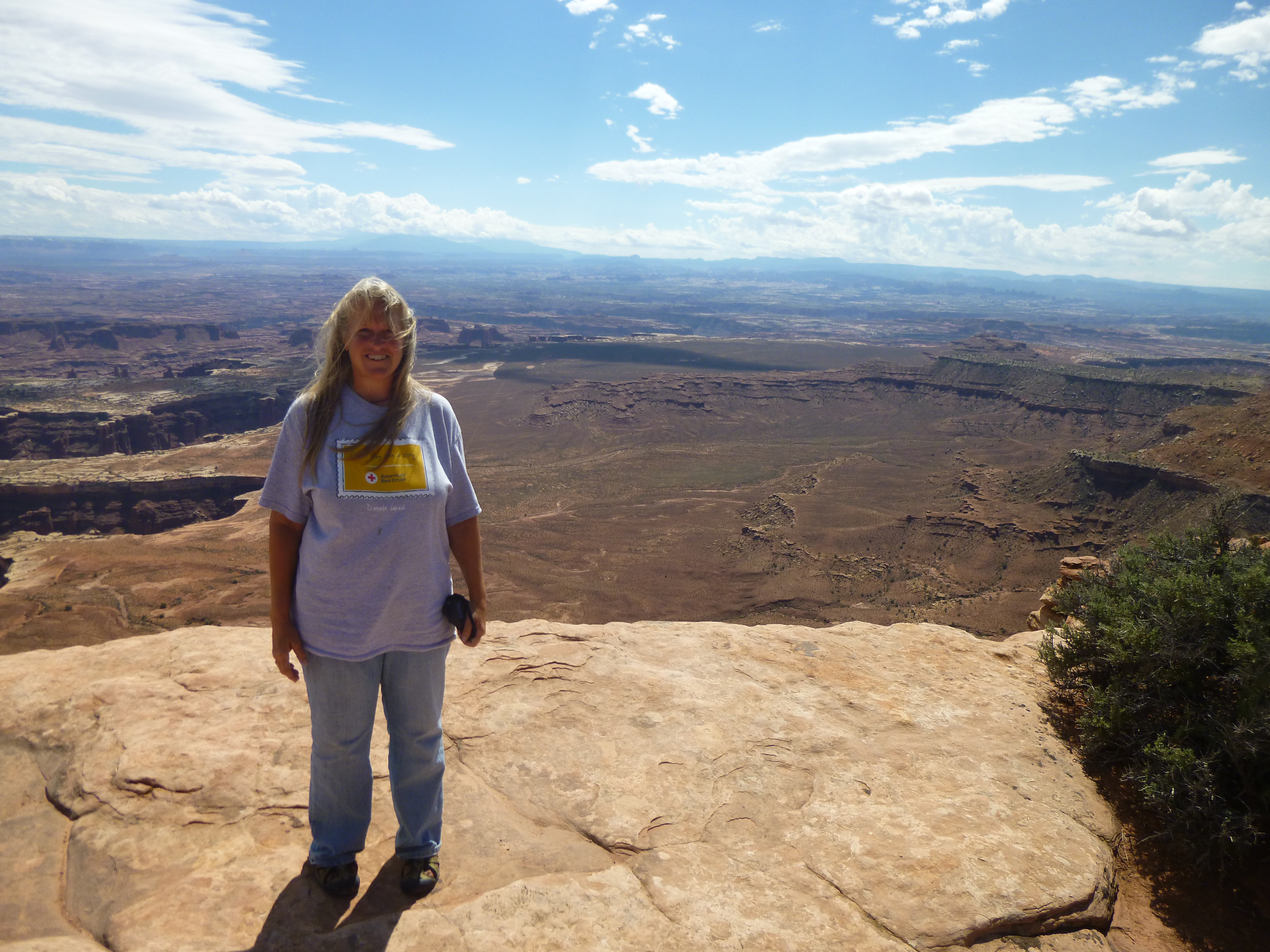
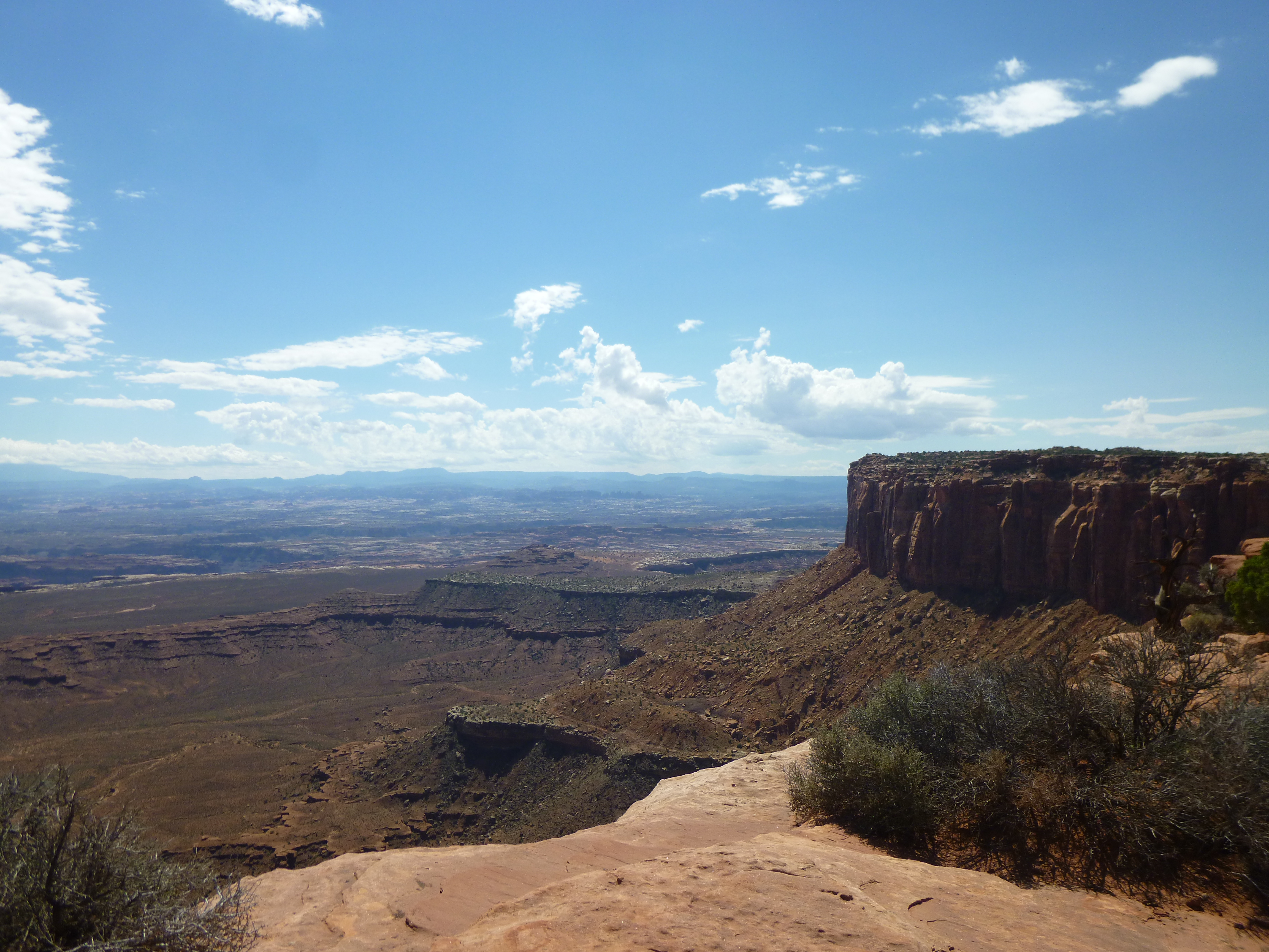
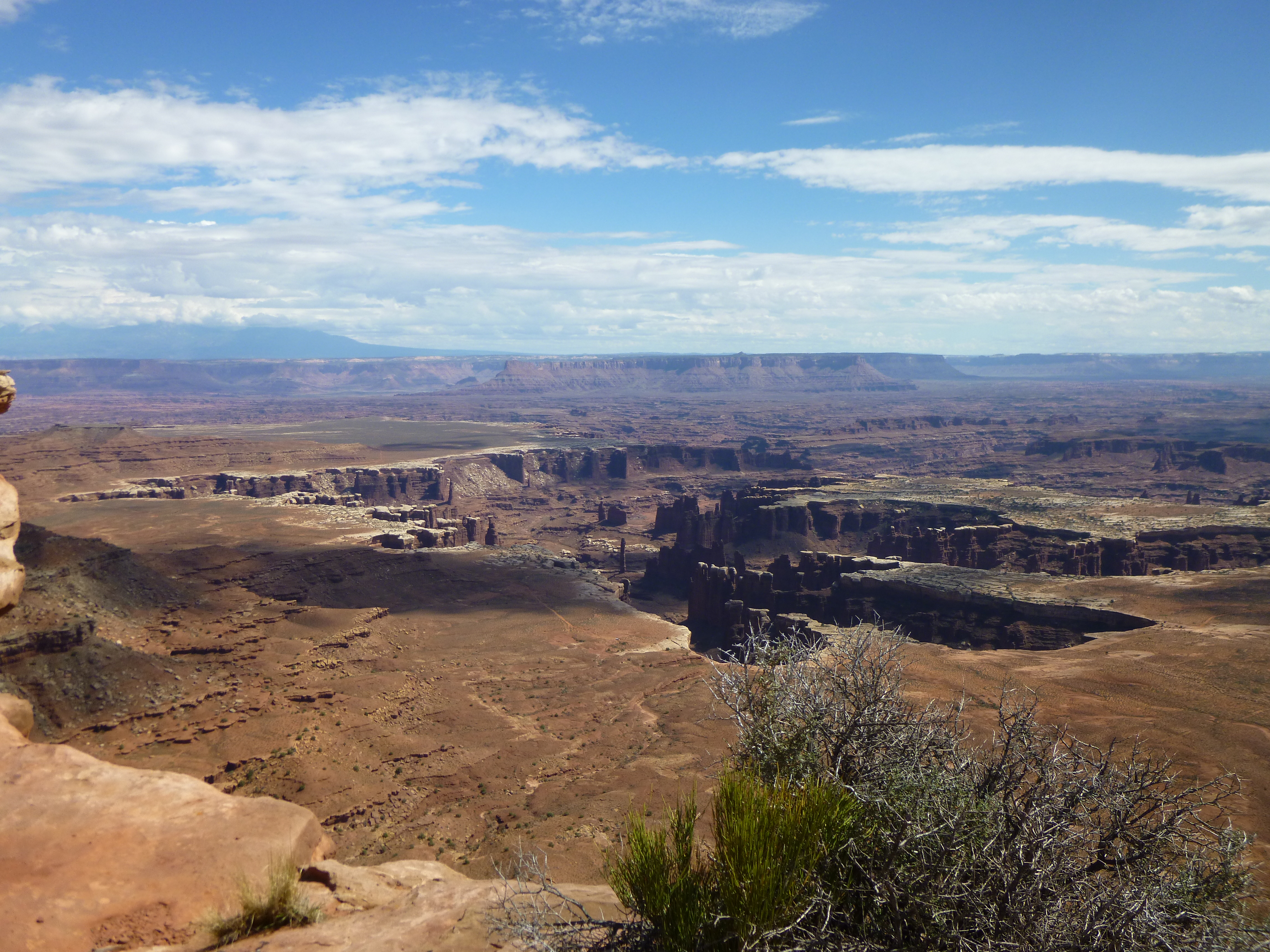
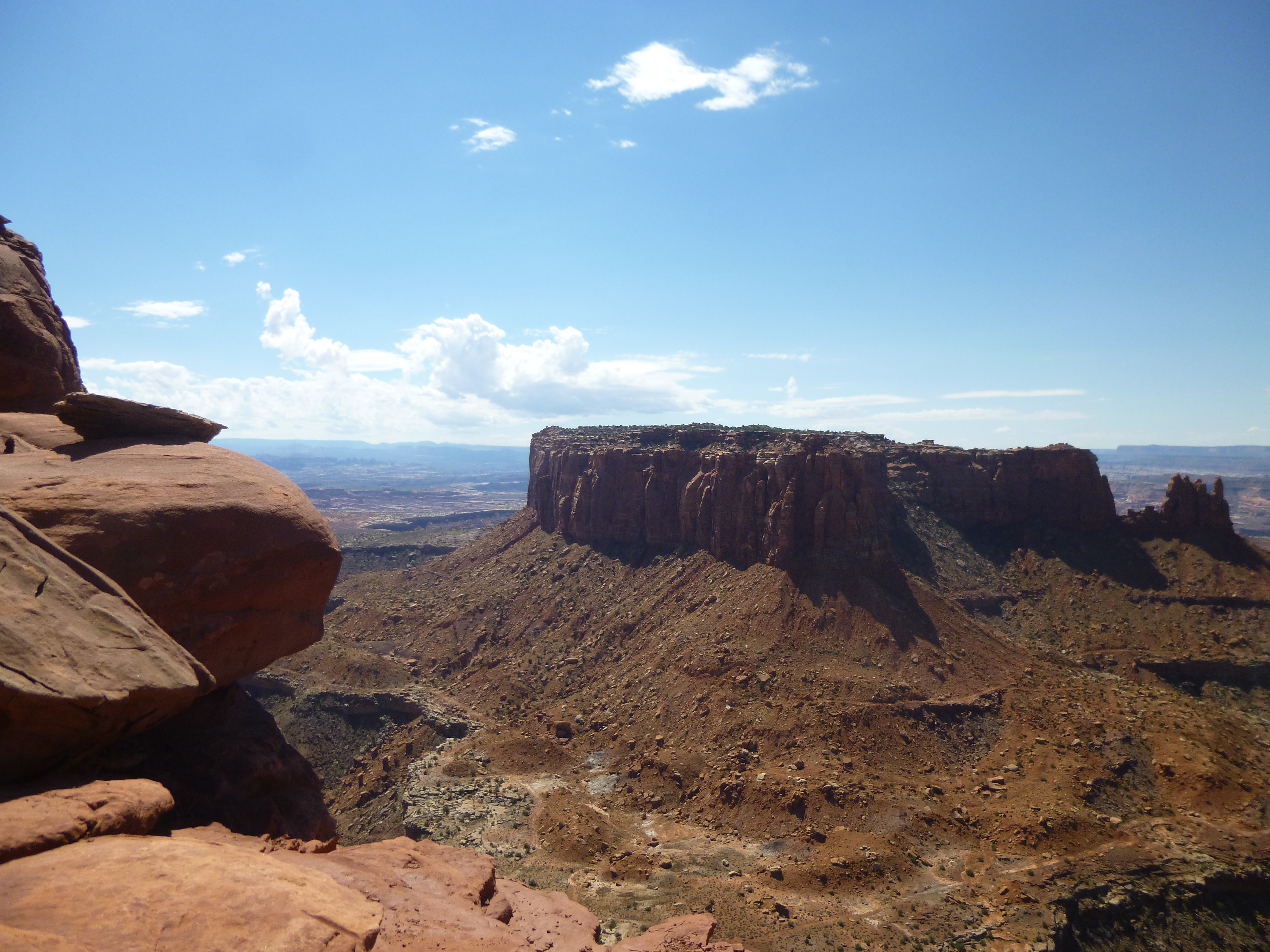
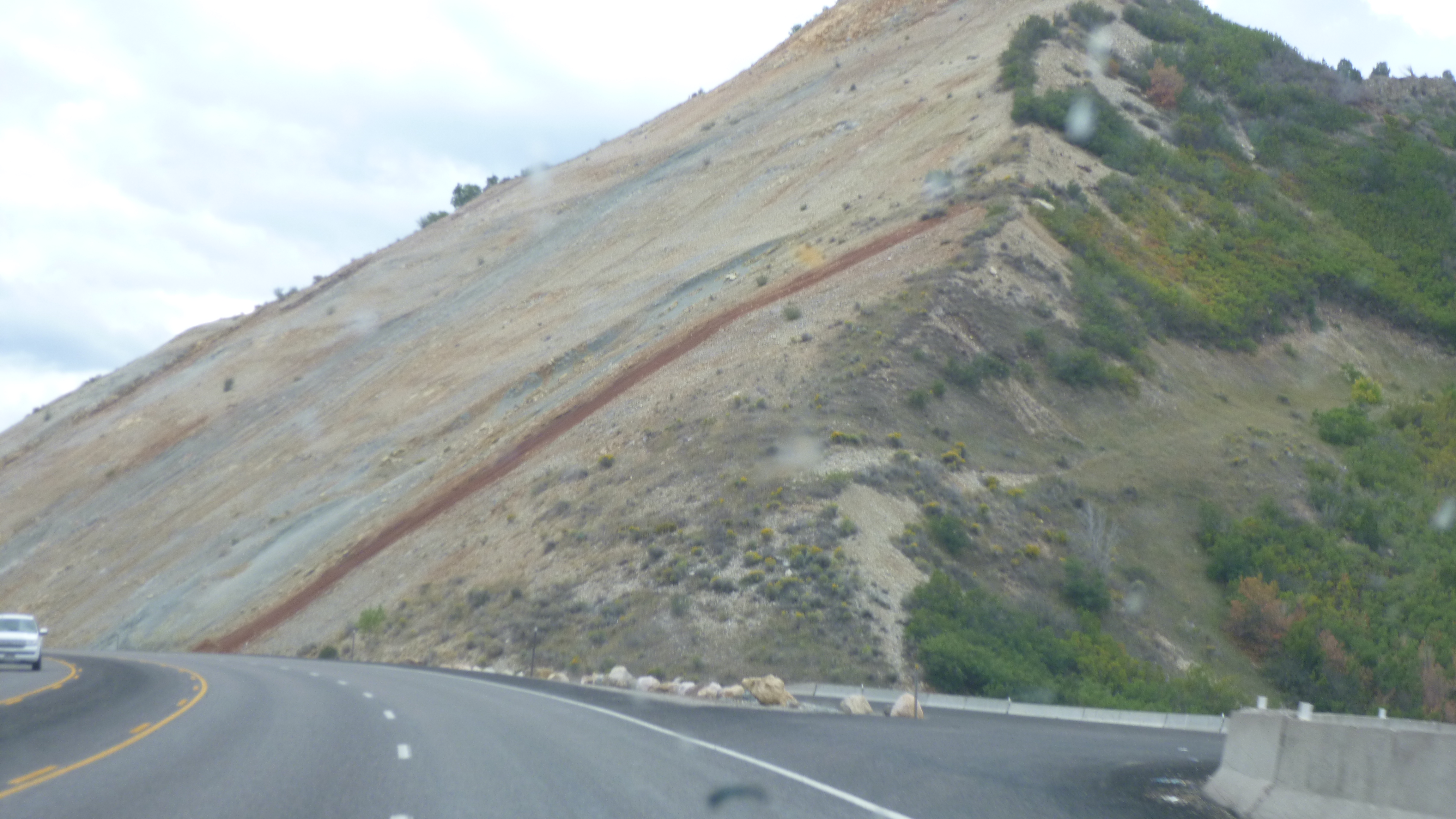
The best walk in the park was the Rim Walk – at the end of the scenic drive into the heart of the park. The canyons were extensive, and the views were wonderful. The rim walk was about 2 1/2 miles round-trip, and the main observation area was fenced, but then there were no fences or guard rails on the rest of the walk. But there was plenty of room on the rim, and although some people would go near the edge to get photos, it wasn’t dangerous, although I wouldn’t take a young child on the walk! The canyons were carved deep into the ground, sometimes in a very curvy pattern. It was fascinating to see all the shapes and colors of the rocks.
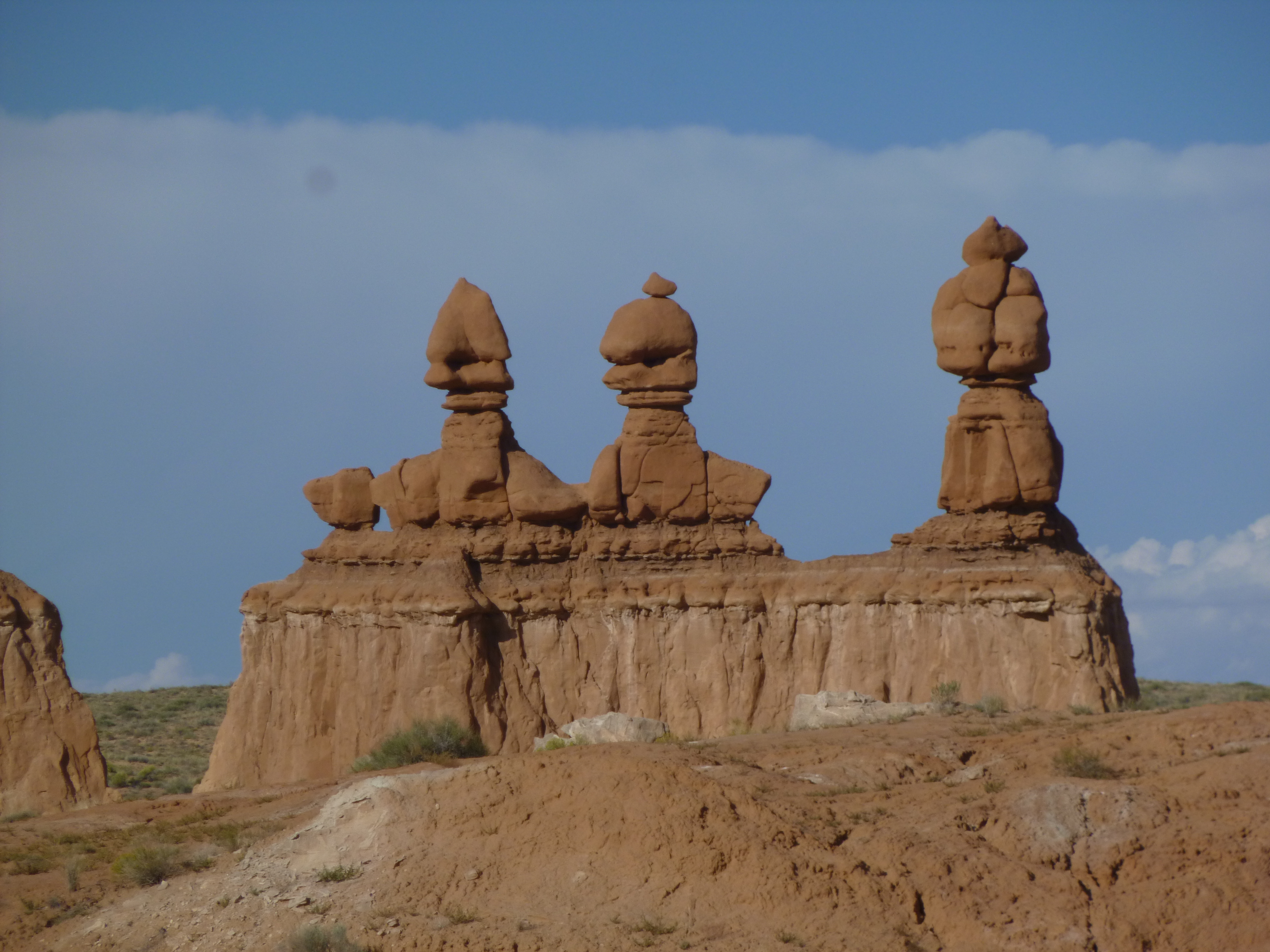
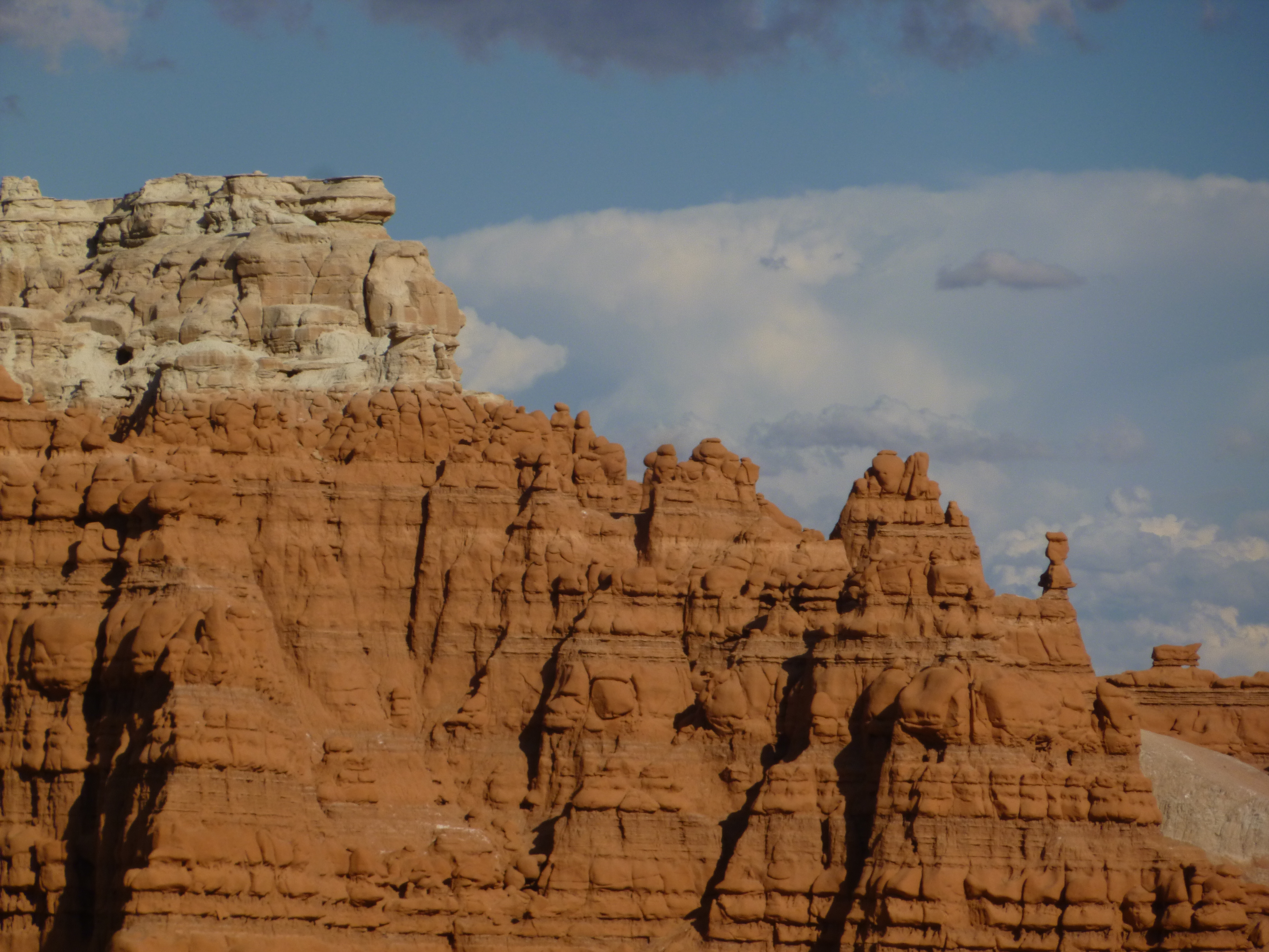
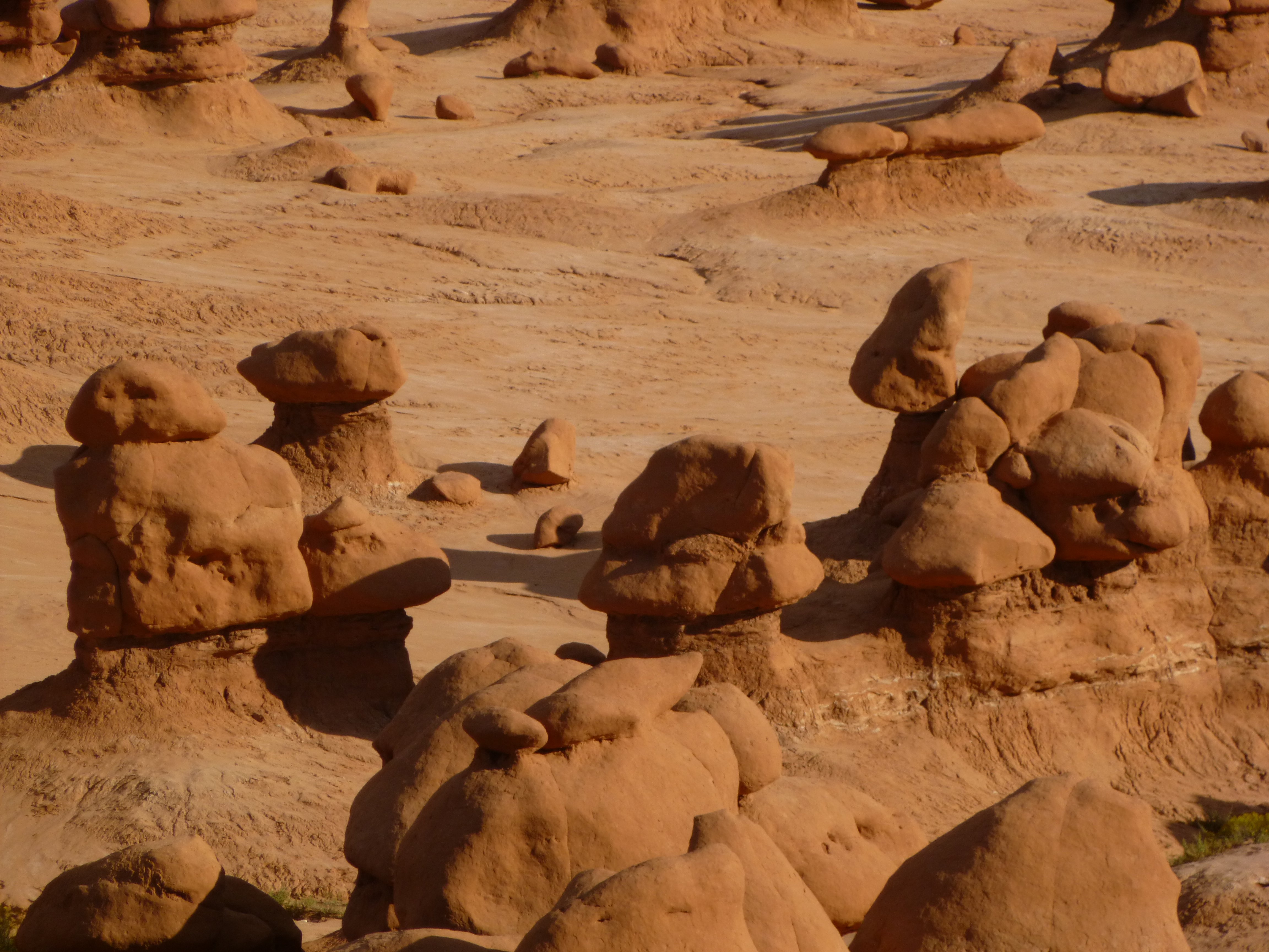
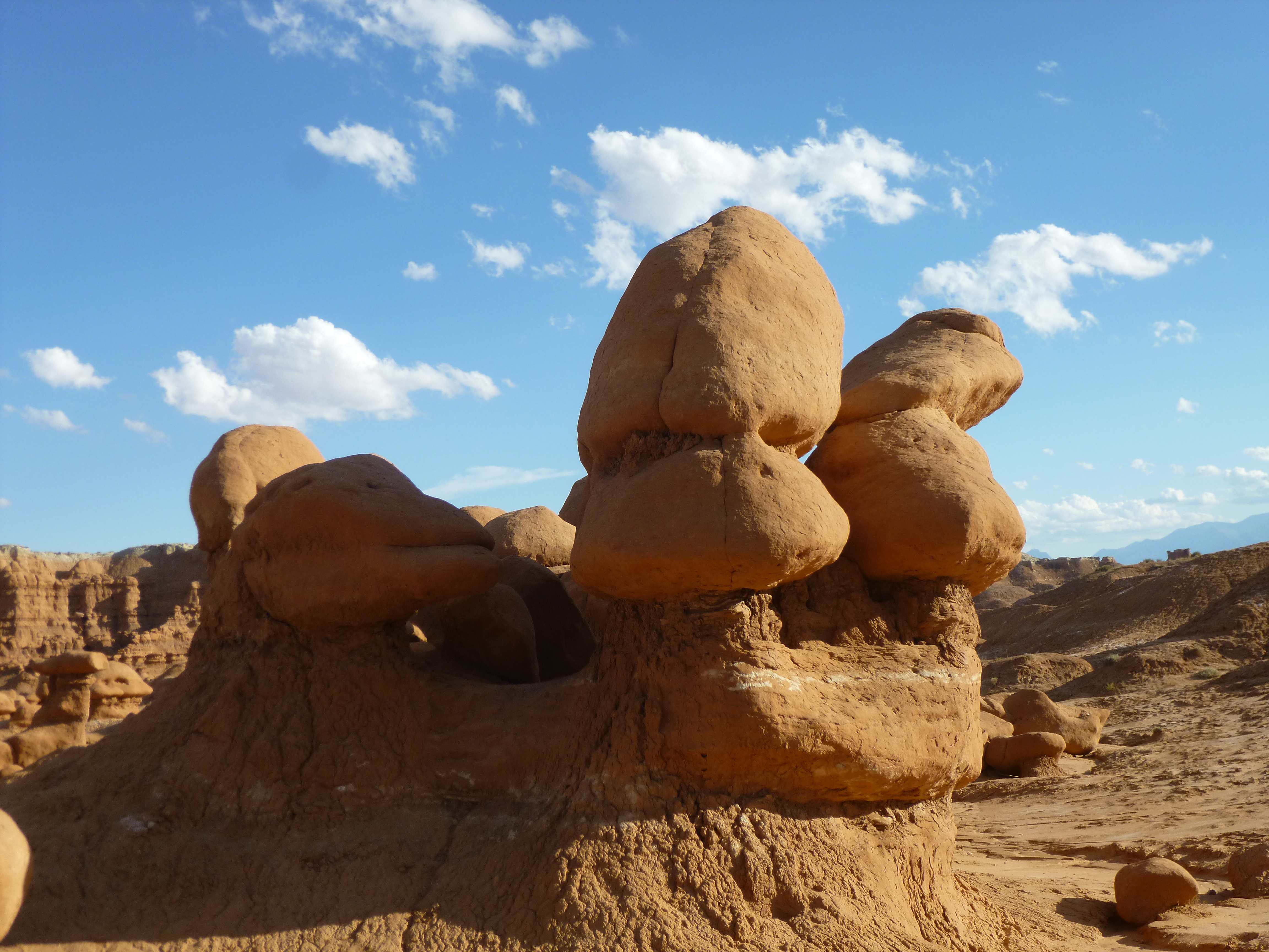
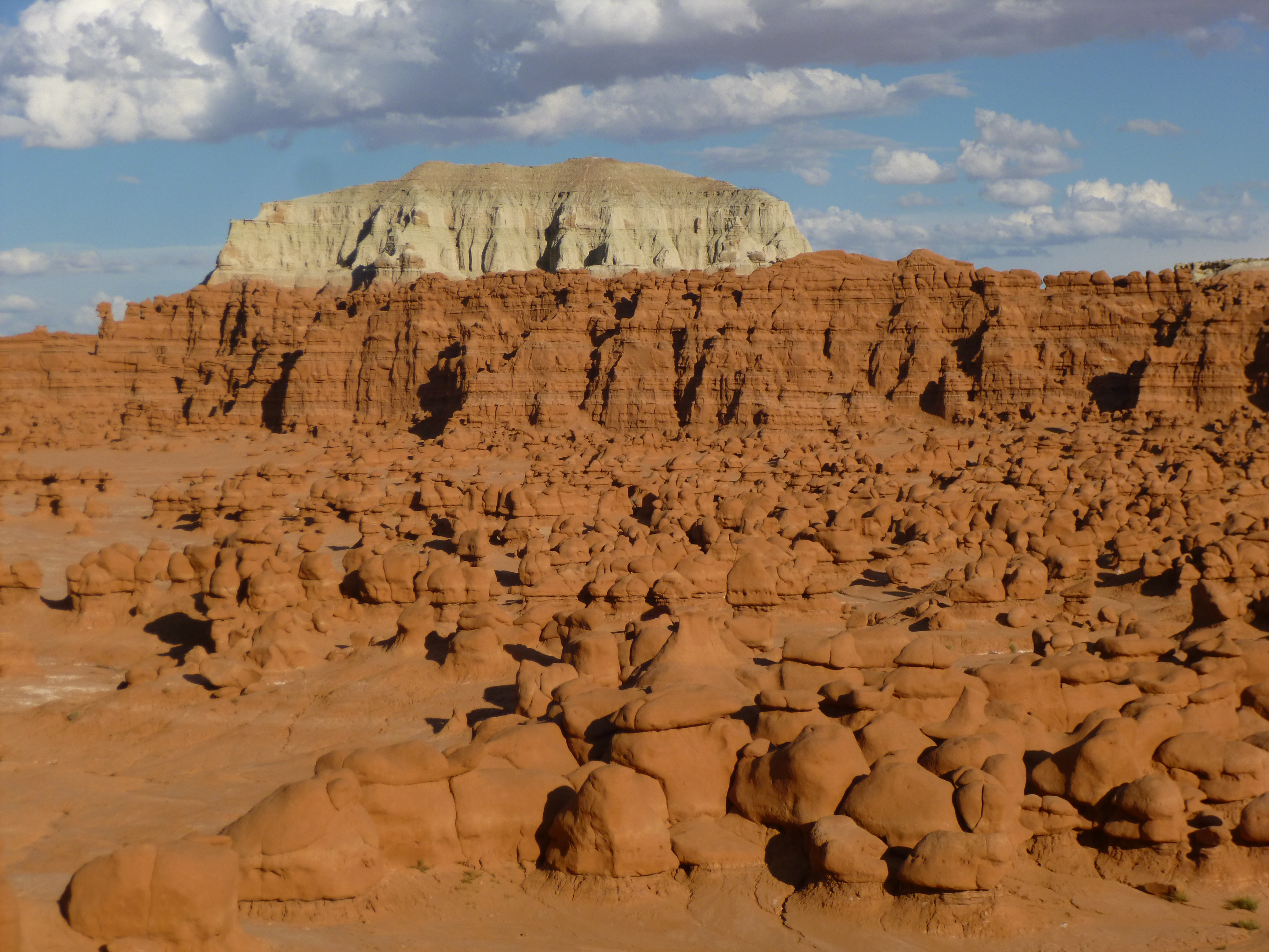
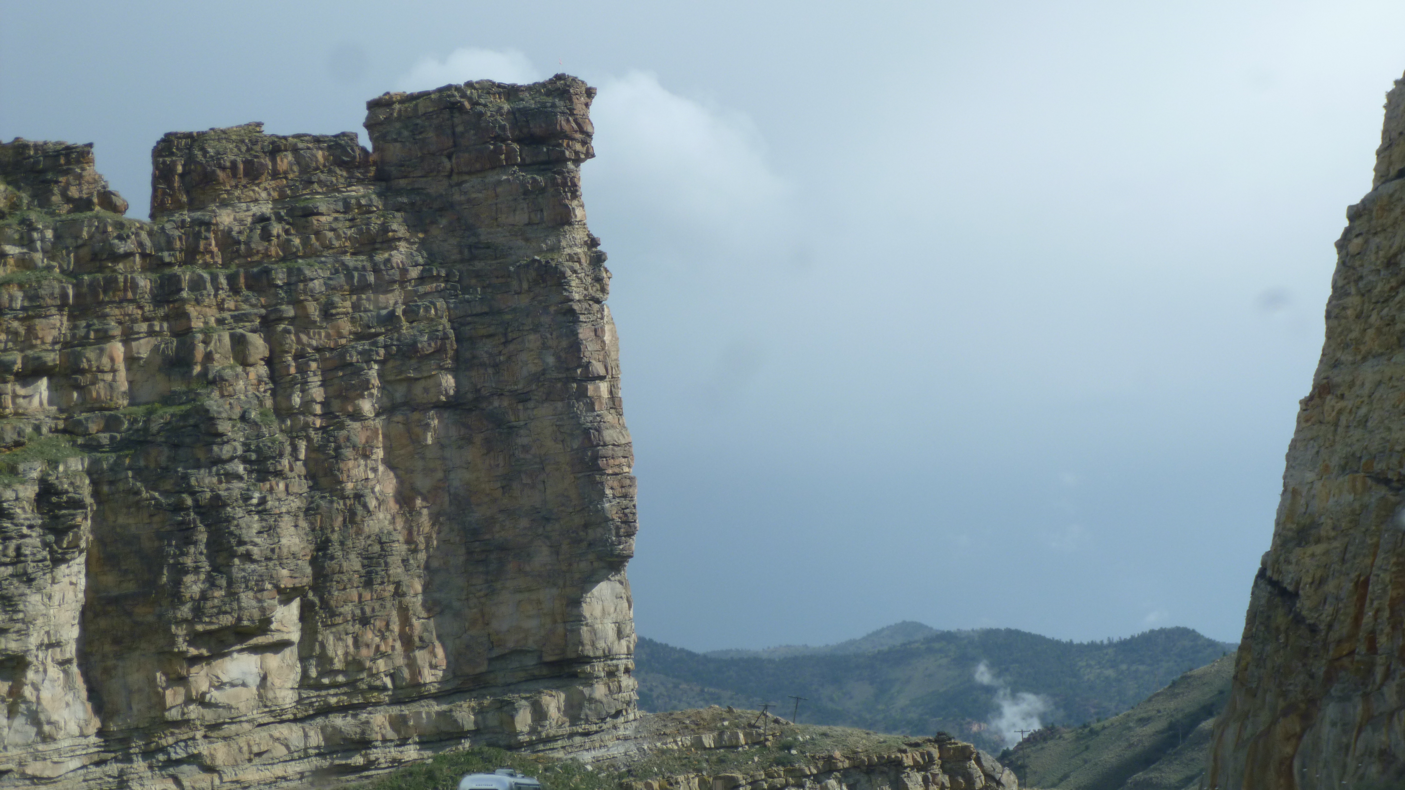
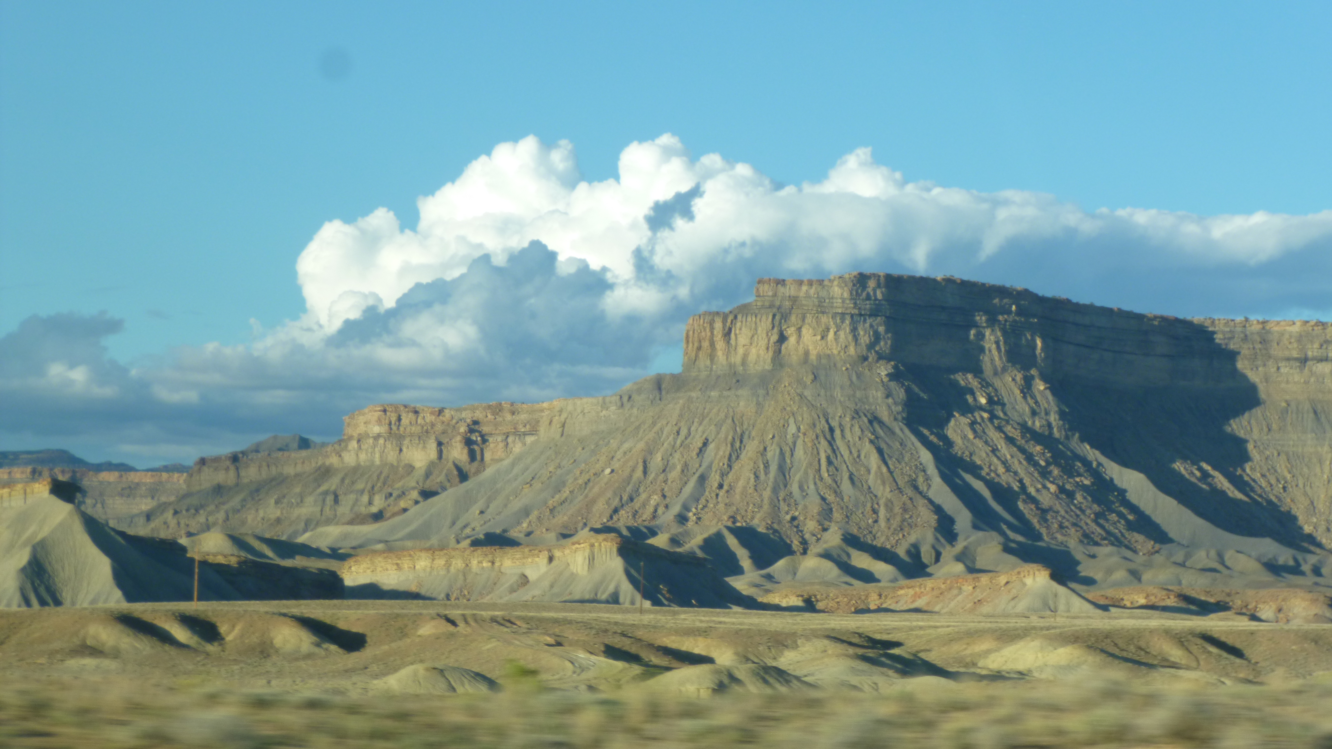
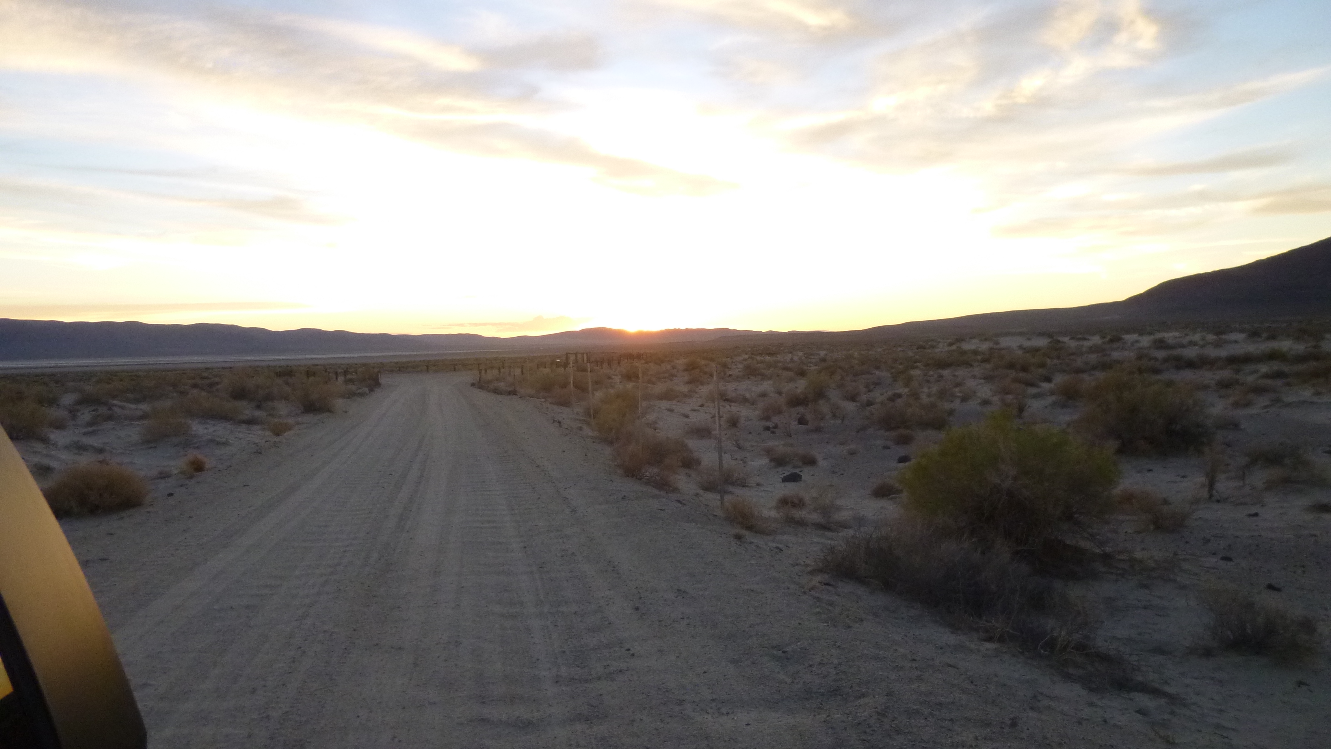
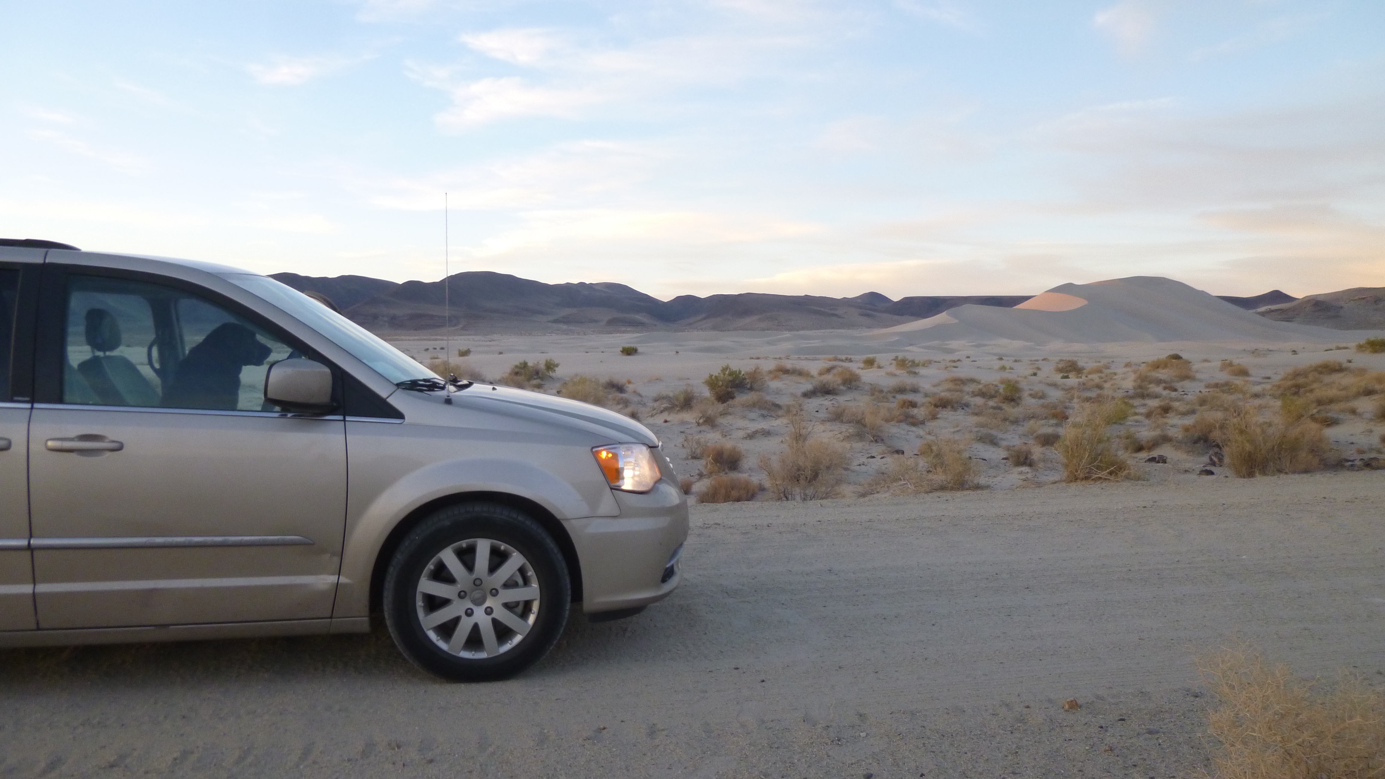
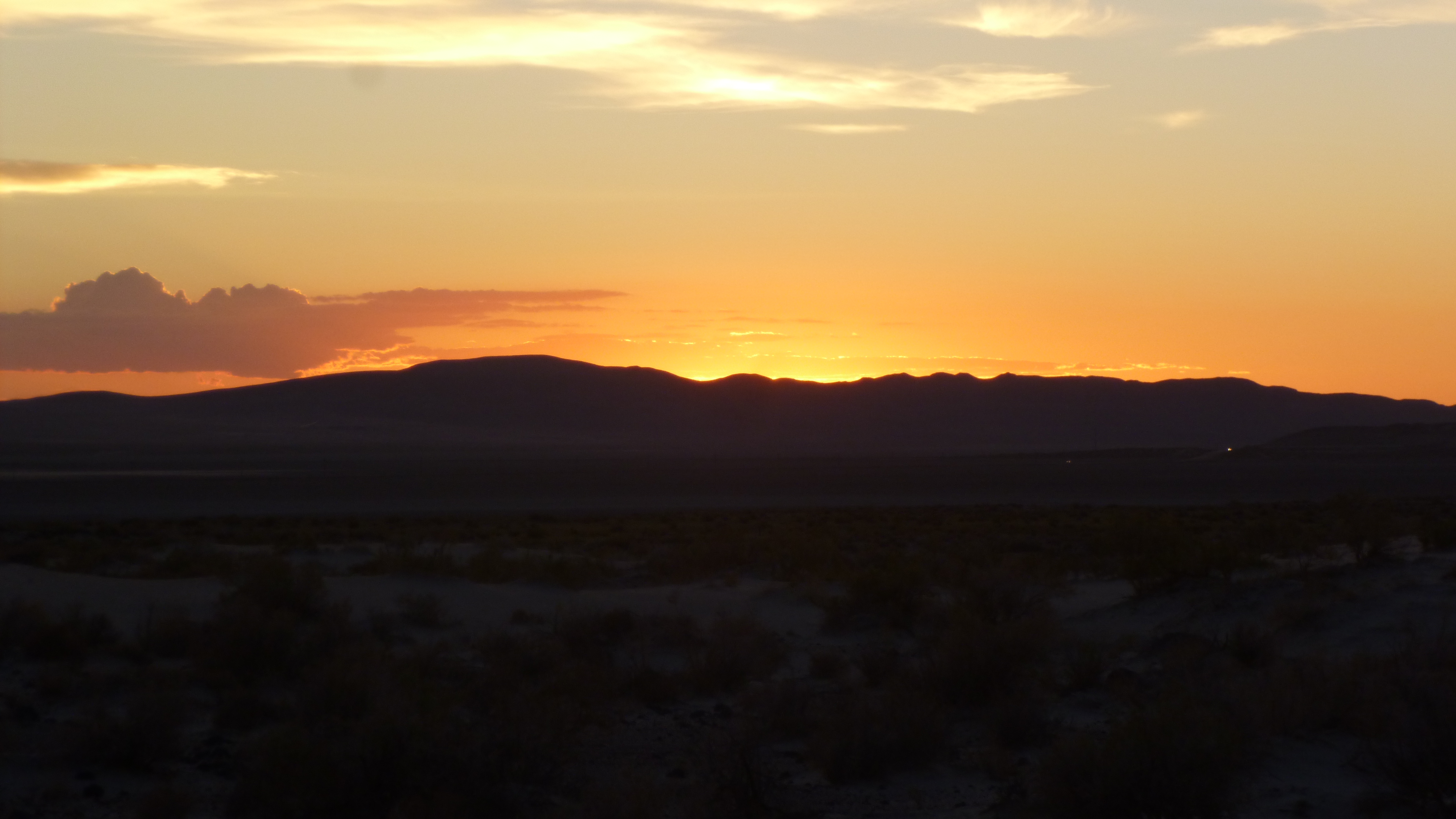
After I had enjoyed all the trails I wanted to in Canyonlands, I had to start thinking about my return route to Salt Lake City – I had to be back there by tomorrow evening because I had a Thursday flight to Seattle. I had 2 donations left to make in Utah, and I knew where they were going, and both of them were back in the Salt Lake City area, so I didn’t make a donation today. I was going to take a bit of a roundabout drive to get back to the city because I wanted to stop by Goblin Valley State Park. After already walking almost 7 miles today, I was happy to sit in the van for a while. I finally got to Goblin Valley State Park, and I asked about camping even though it was a bit earlier than I would usually stop. They were full, although the ranger said I could use one of their parking space campsites, but that wasn’t quite what I had in mind, so I planned to just enjoy the park and find somewhere else to camp. Goblin State Park preserves more rock formations – different from what I’ve already seen. The formations really looked like an army of stone goblins marching across the desert floor – really bizarre! Tula and I went down to walk among all of them, and I just marveled at Mother Nature’s artistry. I’ve seen so much rock the last few days, but it’s all different and fascinating! We enjoyed walking around a bit more, and then I continued along my way. I drove south a bit, past more huge rocks catching the setting sun, and came to the little town of Hanksville. I noticed a small campground behind a local restaurant, and at first I just passed it by. As I drove on, I saw that there was going to be some more amazing scenery which I didn’t want to miss in the dark (bearing in mind how fast it gets dark!) so I went back to the campground and got a spot. To my surprise there were nice showers and a laundromat, so I got laundry done, which I had to do before flying to Seattle anyway. I was glad to get that out of the way. The mosquitoes were kind of bad – I’ve been pretty lucky as far as they go this summer, but I think I was kind of close to a river, and there were a lot of mosquitoes. A truck even went around spraying for them. Depsite the pests, I sat outside with my lantern and took care of some bookwork before turning in.


Utah – Monday, September 16
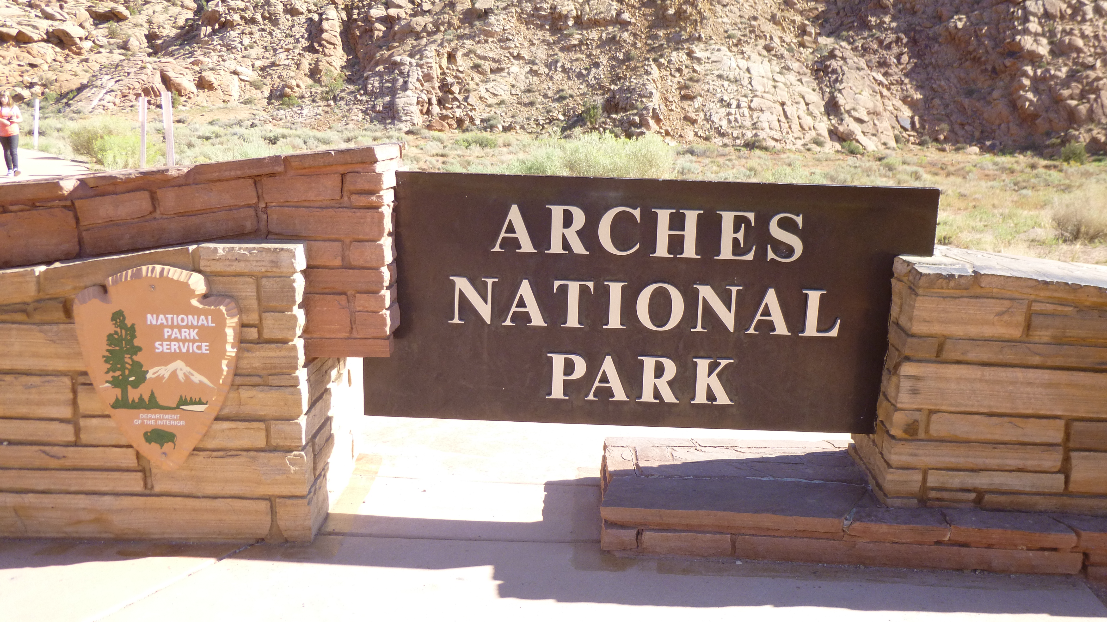
When I woke up this morning, the first thing I saw out of the van windows were big red rock formations – I was sort of in a canyon and it was a spectacular view to wake up to! Tula and I walked around our little campground, and watched the sun come up over the high walls of rock, which made them all look as though they were catching fire. I got packed up, then drove out of the canyon and headed to Arches National Park. The line to get in was the longest I’ve seen at a national park yet. While I was waiting in line, I double checked the hours of the food pantry I wanted to make a donation to, and realized they were only open til noon on Mondays. So I decided to go take care of that first since I didn’t know how long I’d be in the park. I found the little food pantry, and stopped in to talk to the director and one of the volunteers, who was busy dividing up a shipment of chicken they’d received. They finished helping a lady who’d just come in (they pass out pet food for those who need it too) and we got to talking about how crowded town gets in the summer, but then the whole town nearly shuts down during the winter months. Winters can be cold and snowy, and temps can get down to 10 below, and they get a lot of snow, even though they seem to be in the desert.
When I was done at the food pantry, I figured I better make a reservation for Tula at a kennel in Salt Lake City for this weekend. My niece Kim was getting married this weekend in Seattle, and I was going to fly up there for the weekend, so Tula would have to stay in Salt Lake City. Luckily my friend lives next to a vet, and she gave me a couple recommendations. I talked to a couple places, and only one of them could work with my travel schedule as far as an “interview” with Tula, so that’s the one I chose. But, she was also due for a bordatella shot, so I called the local veterinary clinic, and they would be able to get us in in a couple hours. While I was waiting for that, Tula and I did some walking in town, and covered a couple miles. Then I drove out to the clinic, which was quite a ways out of town, and Tula got her shot, and then we could finally head back to Arches National Park.
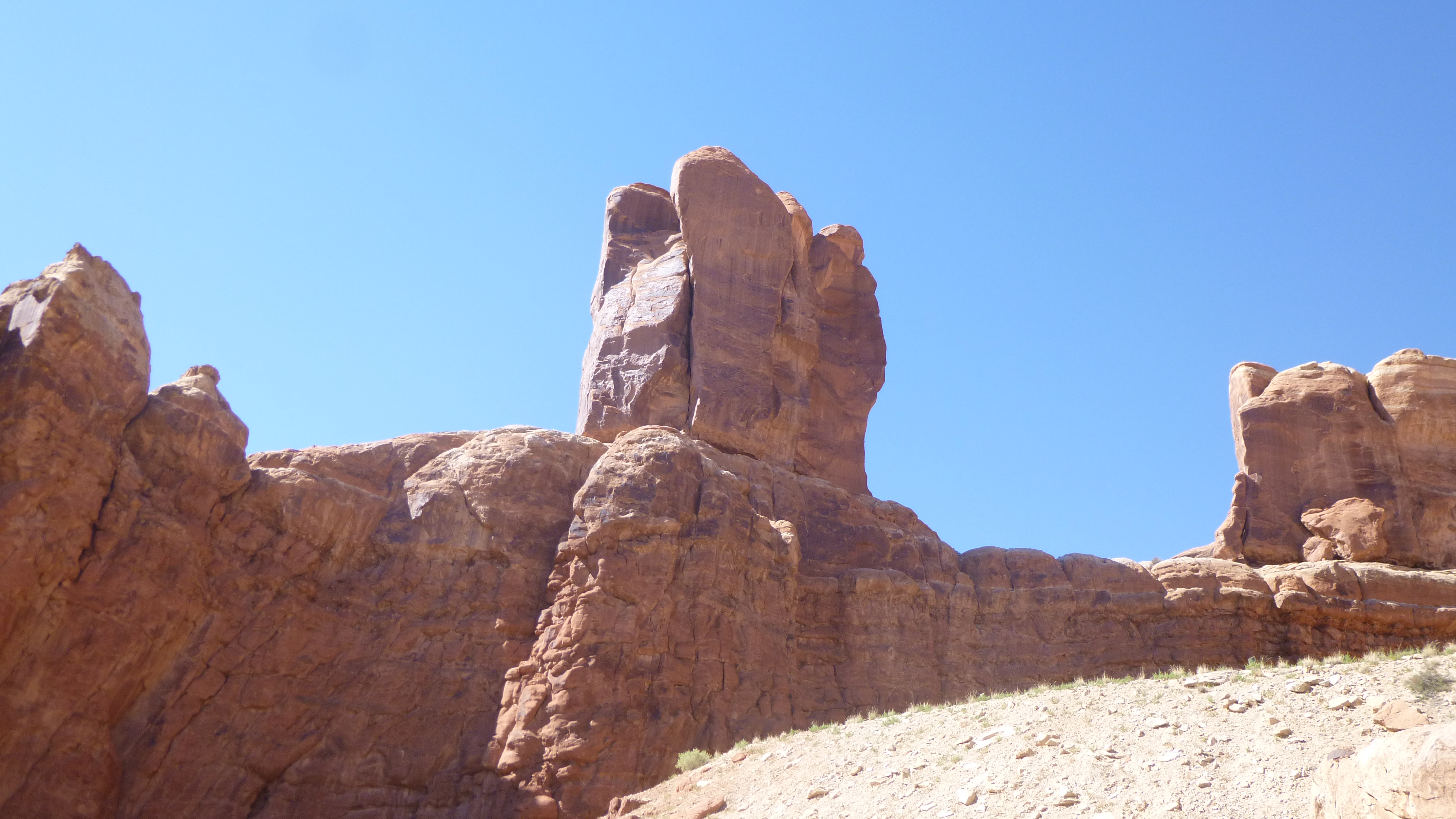
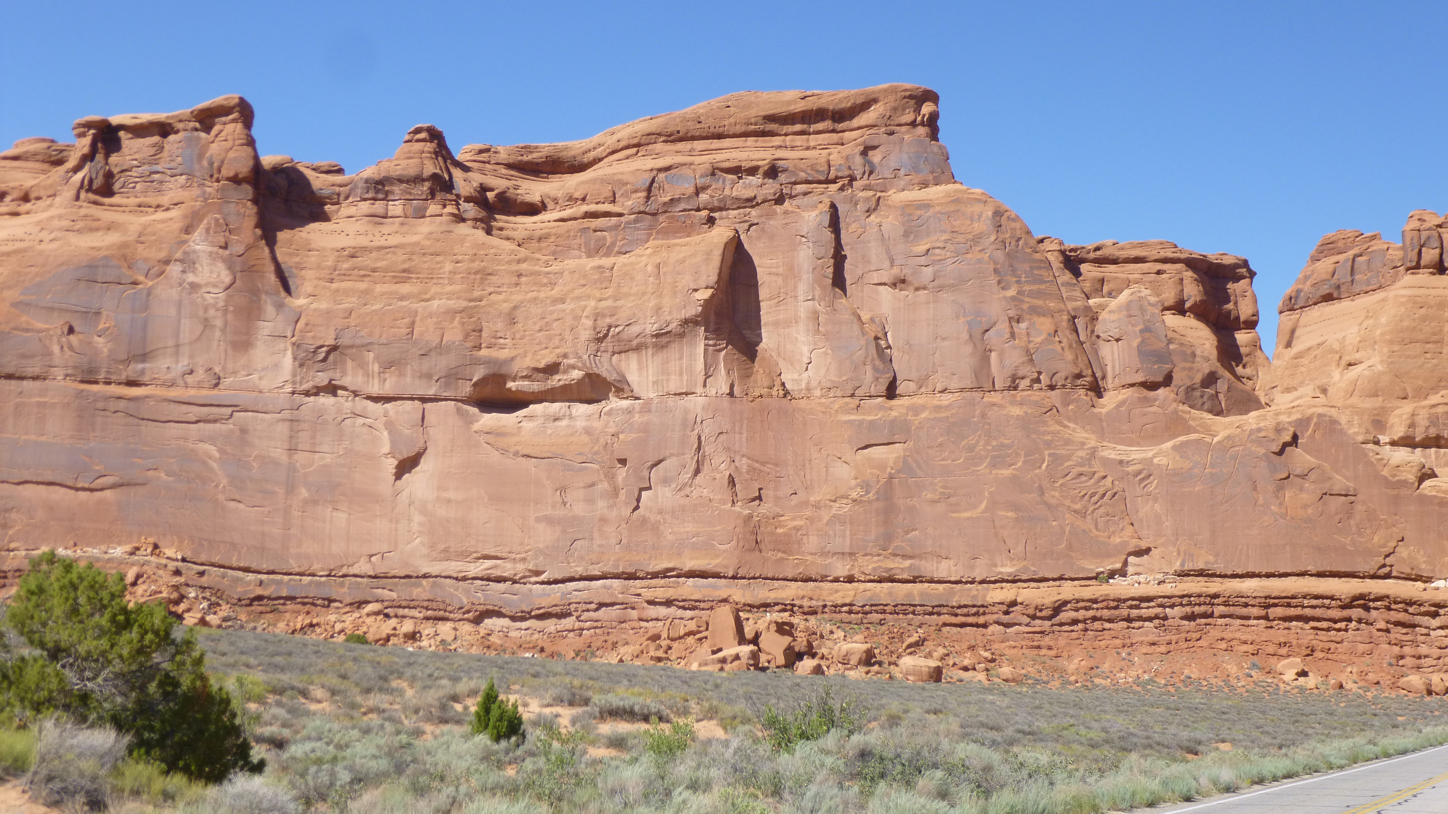
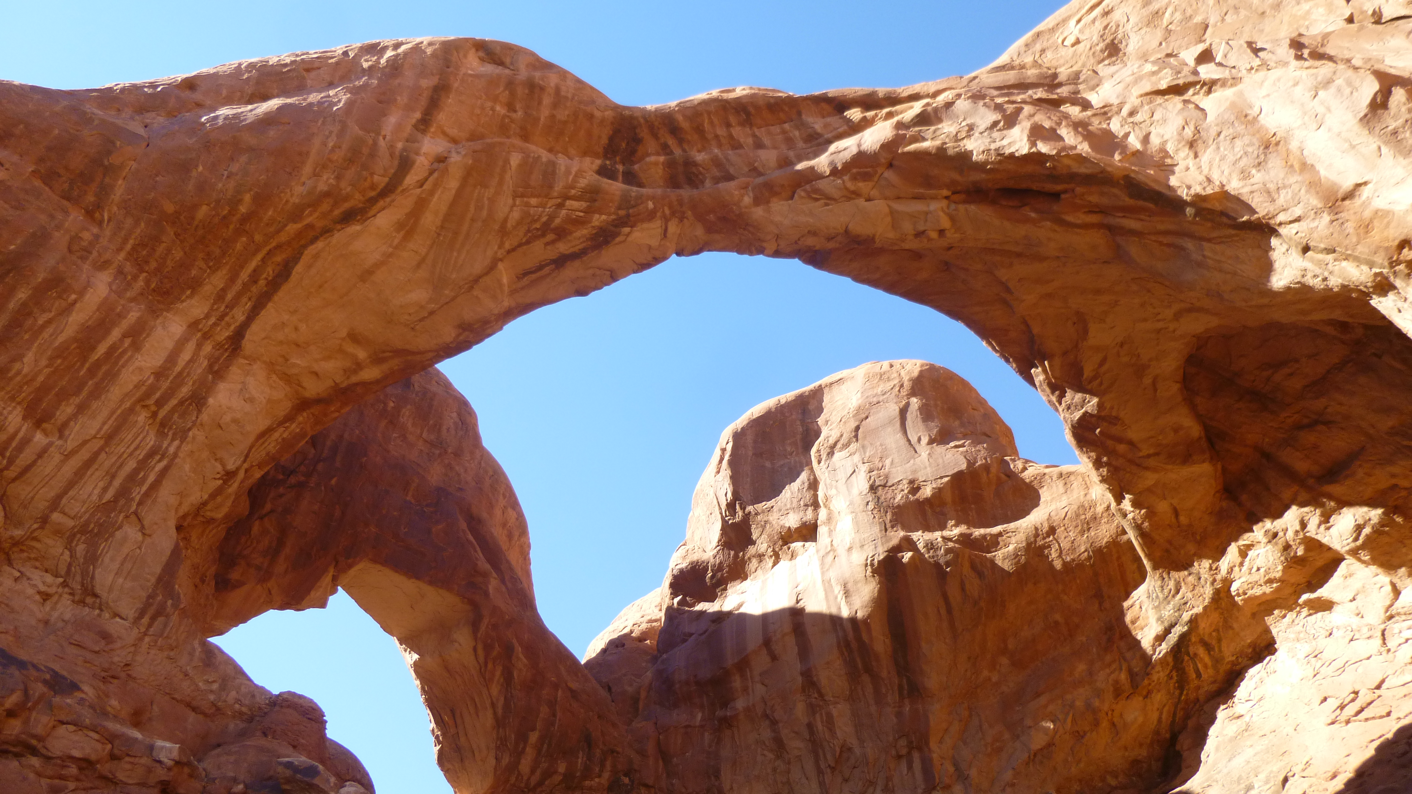
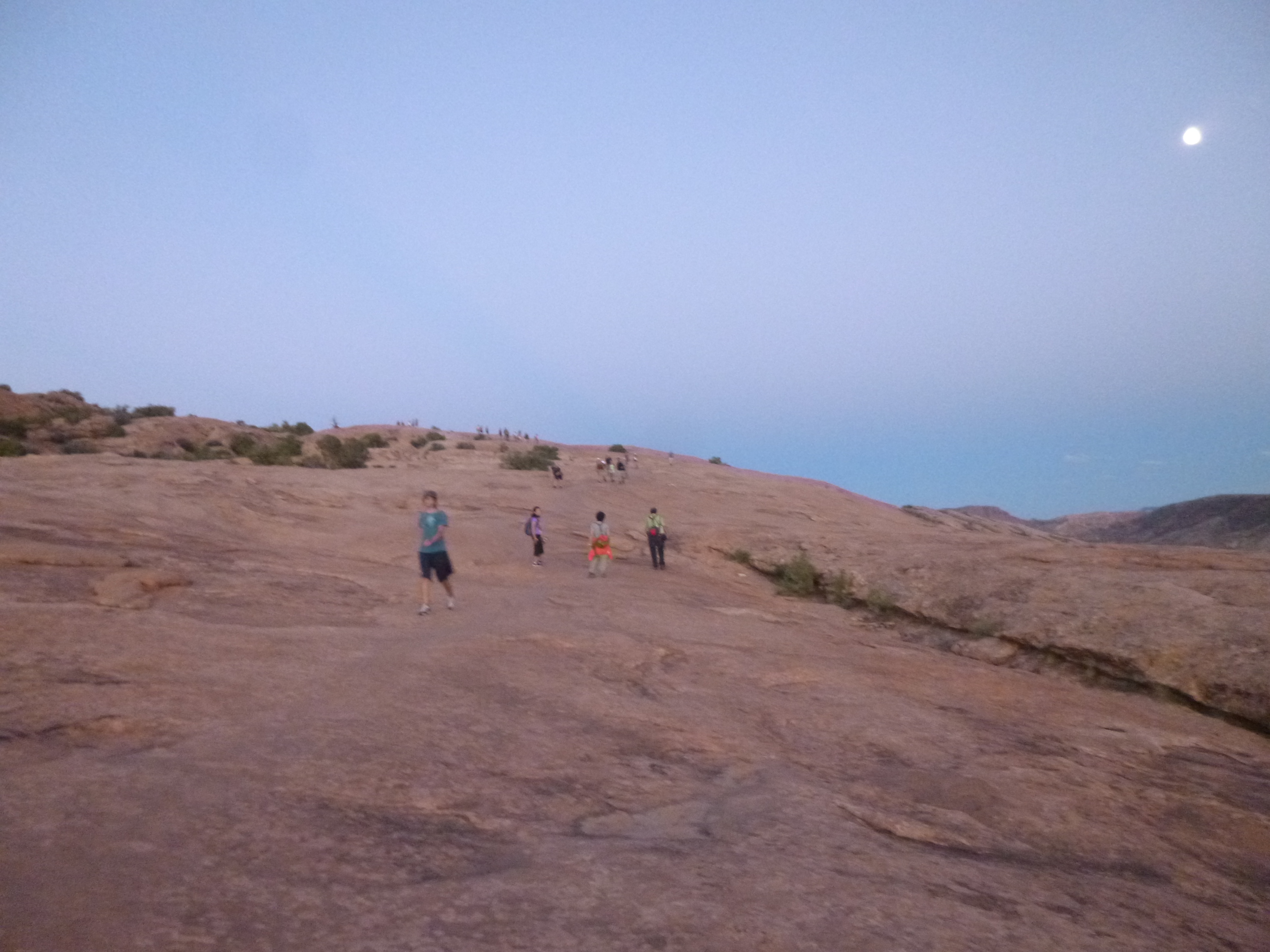
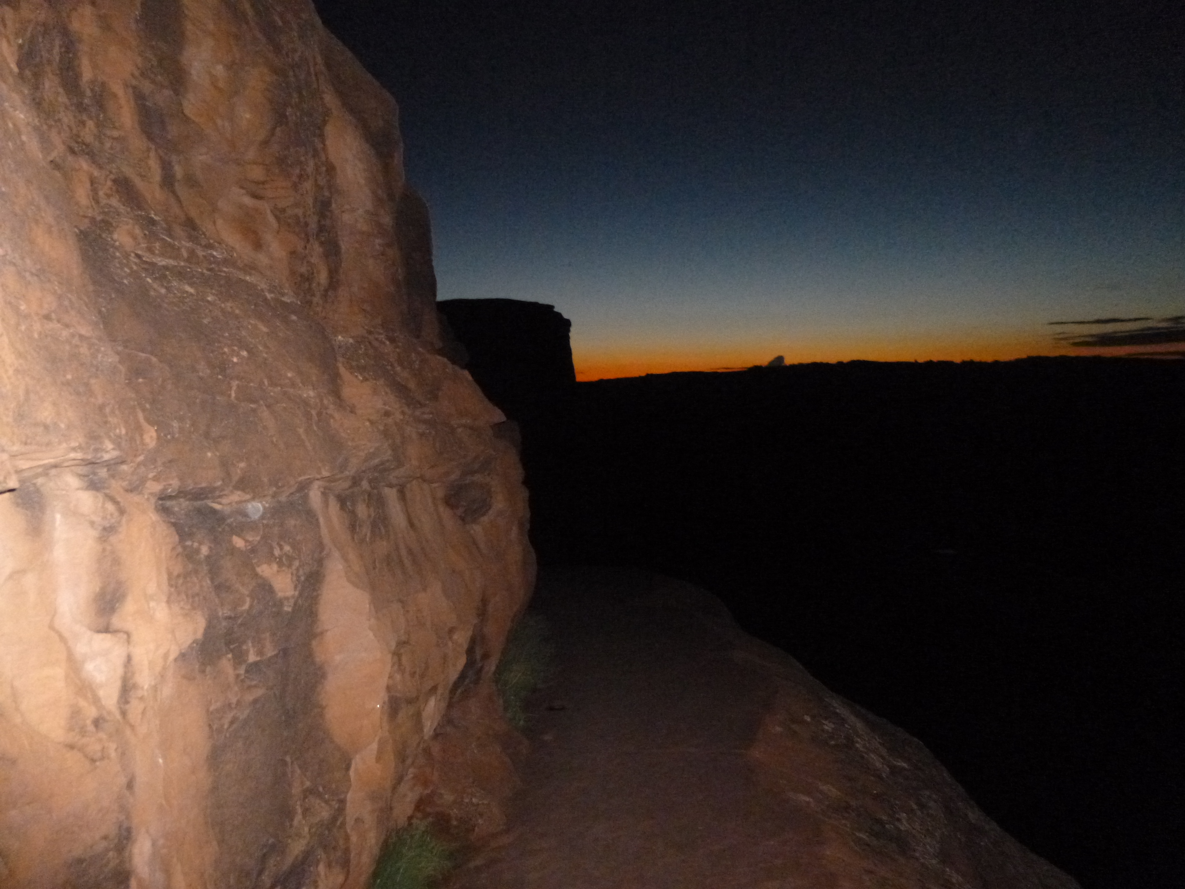
This time, there was no line at the entrance booth, and there were cars coming out of the park. I was hoping the morning crowds would have thinned out a bit. I stopped at the visitor center and the ranger recommended 3 hikes. The whole park is amazing, and I loved driving through it. Everywhere I looked there were different rock formations and arches caused by wind and weather. I walked around the Balanced Rock formations, then moved on to the Windows, where I walked a couple miles. I stopped at the Fiery Furnace for a short walk, then covered another 3 miles to walk back to see the Landscape Arch. I got Tula out for a while in the parking area too – she couldn’t go out on any of the trails. And then I headed for the Delicate Arch, which I had saved for last since the ranger said that was a good one to see around sunset. Because of heavy rains and flooding, the Delicate Arch trail had been closed for a couple days, but was open once again. The sun had just set, but there was still plenty of light out, so I thought I had time for the 3 mile round-trip hike. I started up the trails, and parts of it went across rock faces, and the path was marked by small rock cairns. As I climbed up and up, I passed a lot of people making their way down after having watched the actual sunset. I figured there must be a pretty big space up at the top to hold all those people. There were a few other people climbing up too, but the light was fading, and I simply hoped I’d be able to see the arch after climbing all the way up there. And when I got up there, the arch was beautiful in the full moonlight. I couldn’t get any good pictures, but it was very peaceful up there – there were still a few groups of people up on the rocks, and I couldn’t imagine how congested it must have been earlier.
After I was done admiring the view, I began to make my way back down. I was going to take it slow since it was a bit darker than I had expected, considering there was a full moon. Sometimes a full moon is so bright, one can almost read by its light, and I also hadn’t expected it to get dark quite so fast! But I was moving along well enough, and was making progress, and I could hear some people behind me. Because I was moving kind of slow, they caught up to me and started to pass by, and then they were very kind and told me I could walk down with them, since they had a good flashlight, and there would no doubt be places where that would come in handy. They were a young couple, originally from Russia, and they were also on a long road trip. After a while, we caught up to another couple about my age, and the group of us continued our walk down. They had a light, but kind of a weak one, so Anatoli, the young man, helped guide us all down, and it was fun to listen to some of his travel stories. Thank you Anatoli, and it was nice to meet you Martin and Madge!
I had walked 10 miles today, and saw everything I wanted to in the park. I headed out, and drove about 30 miles or so in the direction of Canyonlands National Park. I knew there were a couple campgrounds on the way, and even though it was getting kind of late, I got a good site at Horsethief Campground, and after getting set up, I took Tula for a short walk, and called it a day and slept like a rock!


Utah – Sunday, September 15
Today I was going to start heading to eastern Utah, with the hopes of seeing some of the national parks that are out that way. Utah has also been the target of more rain than normal, but I think things have more or less cleared up in the areas I’m headed for. So after I got packed up, I headed south toward Riverton, where I hoped to make one of my donations today – to another organization that my friend Perrine had recommended. But I hadn’t been able to connect with the person I need yet, and couldn’t find her location, so this particular donation will just have to wait a few days…
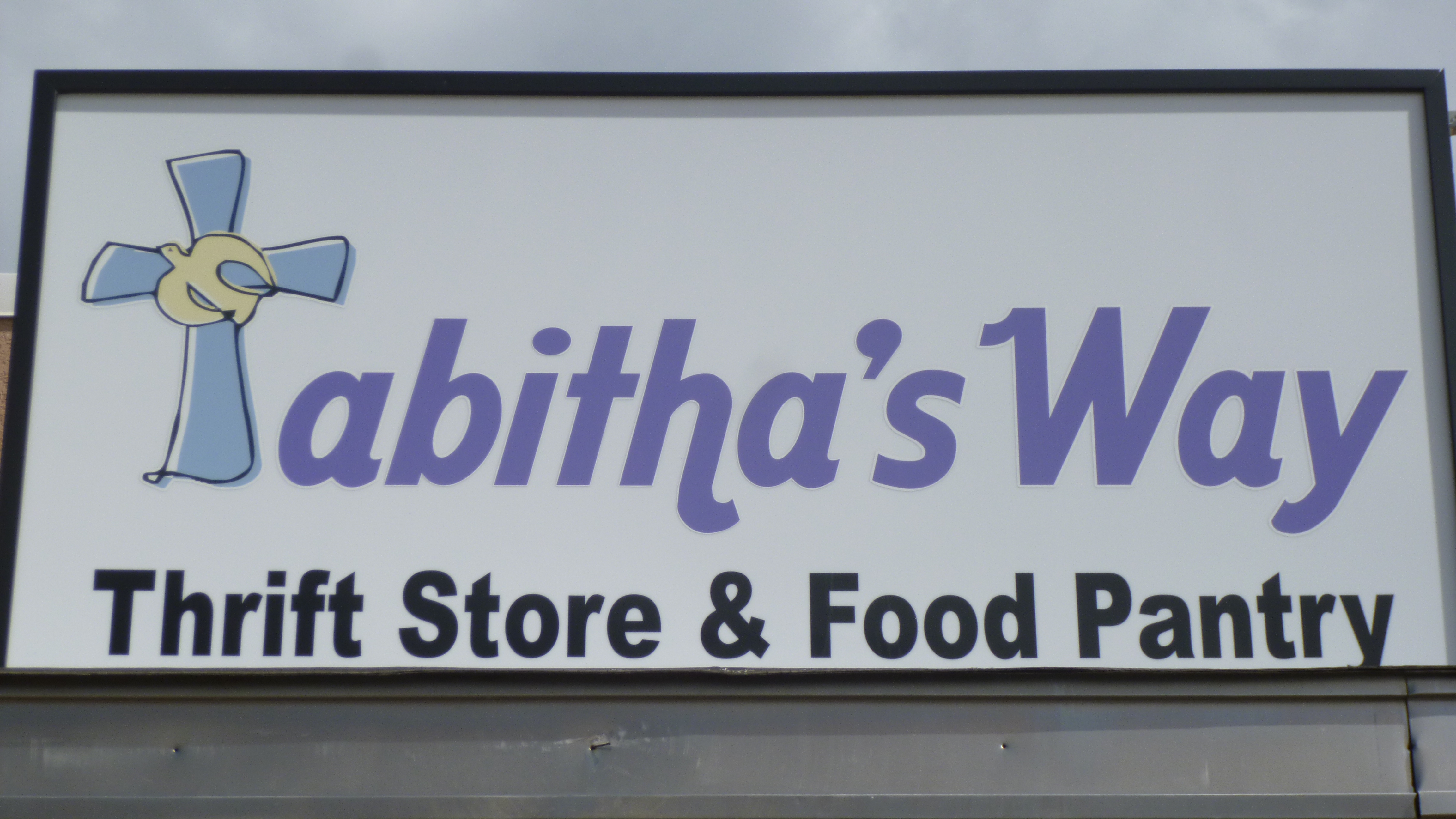
I continued on to the town of Spanish Fork, where I wanted to make a donation to Tabitha’s Way, which is an organization that is set up to help people in many different ways. They have a food pantry, thrift shop, and participate in other things like Back to School programs, recycling, and a half dozen other fundraisers. They have a variety of ways to help out those who need assistance of any kind, and seem to be very resourceful about taking in anything and everything and giving it a new or better use. The shop was closed on Sundays, so I’ll just have to mail in my donation. Tula and I walked about a mile and a half in Spanish Fork.
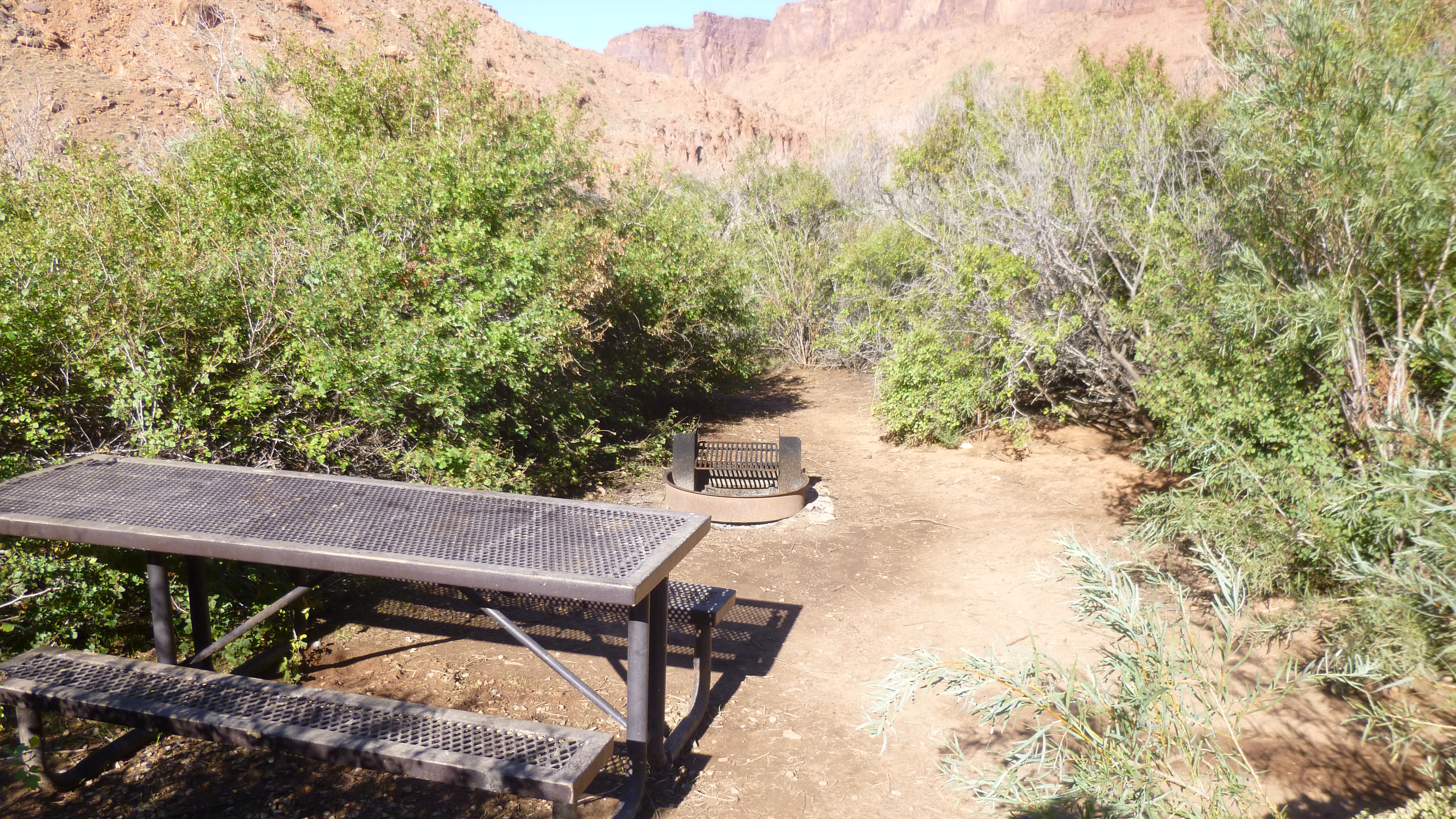
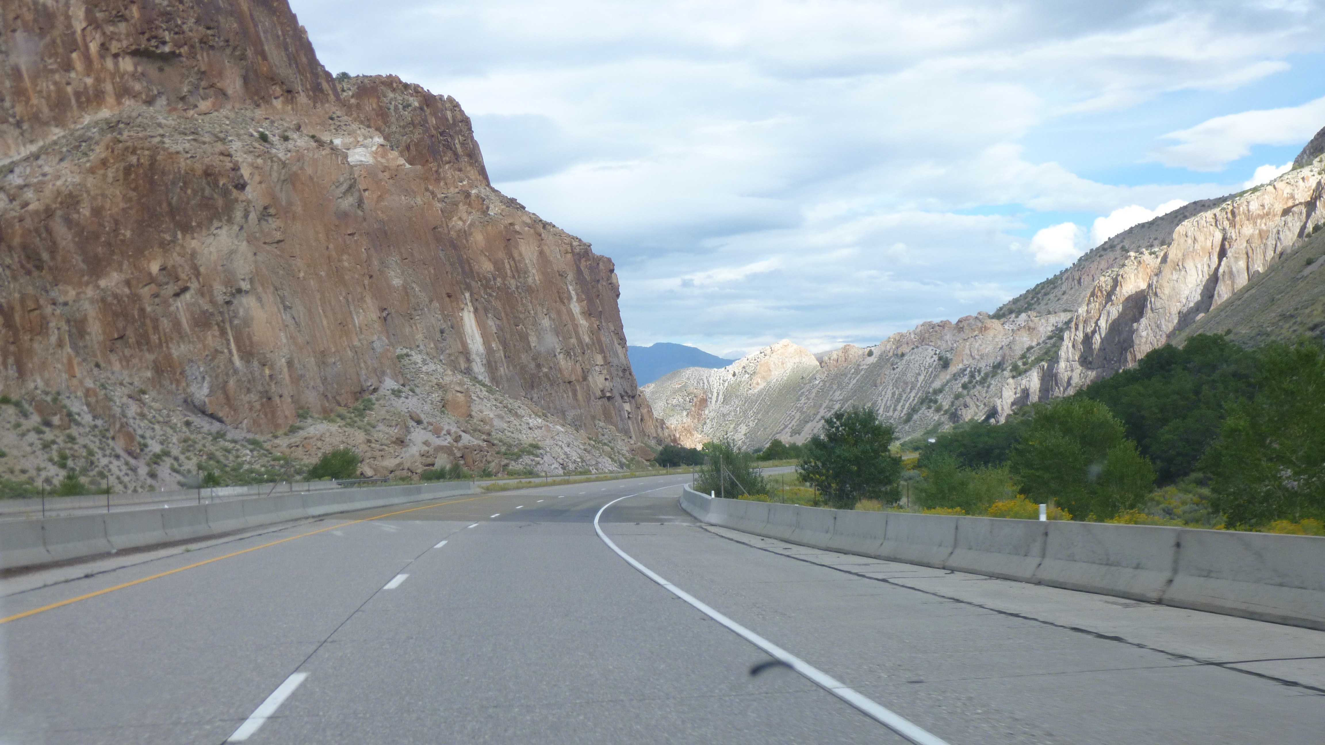
Then I headed east, driving for quite a long time through dry countryside with lots of big rocks and bluffs and towering sandstone formations. At times I got up to 7,000 feet in elevation. And then I saw yet another rainbow – faint, but there. The few towns I came to weren’t really good walking towns, so I just kept rolling through the countryside. When I got to Green River, Tula and I got out to walk a mile by a park, and since towns are few and far between, I filled up the gas tank, and got a bite to eat, and a bag of ice. I was planning to camp somewhere tonight. From Green River I headed south in the direction of Arches National Park and Moab. Perrine had told me Arches would still be crowded, even though it’s after Labor Day and school has started. She said many of the European visitors would have come and gone by this time of year, but with temps dropping a bit, the locals would again be visiting the parks. She also told me which road had numerous BLM campgrounds, and since it was evening by the time I got to the national park, I figured I better start the hunt for a campsite because there were many signs saying camping is only allowed in posted campgrounds. There were 10-11 small campgrounds along the river outside of Arches National Park, but I didn’t find a vacant campsite until I got to the Big Bend campsground, which was the 5th or 6th one up the mountain. I’m glad I didn’t delay any longer. Tula and I did a little more walking after I got everything set up. It was pretty dark, and we were in a canyon and I was curious to see what it would look like in the morning light. I did a little record keeping work at the picnic table, then called it a day – we covered a lot of miles in the van, but I fell behind with my walking. At least I shouldn’t have trouble making those up in the upcoming days!


Utah – Saturday, September 14
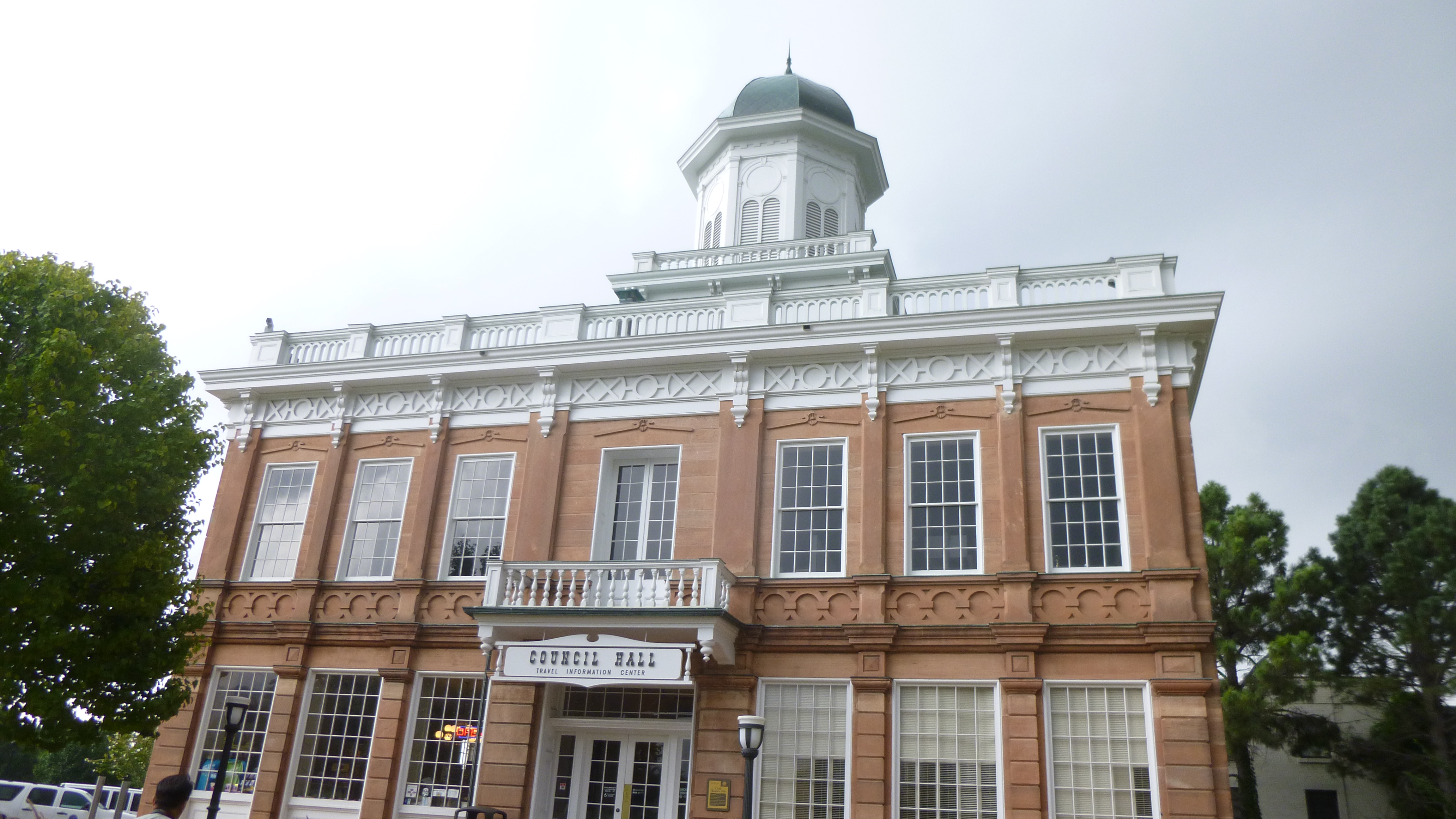
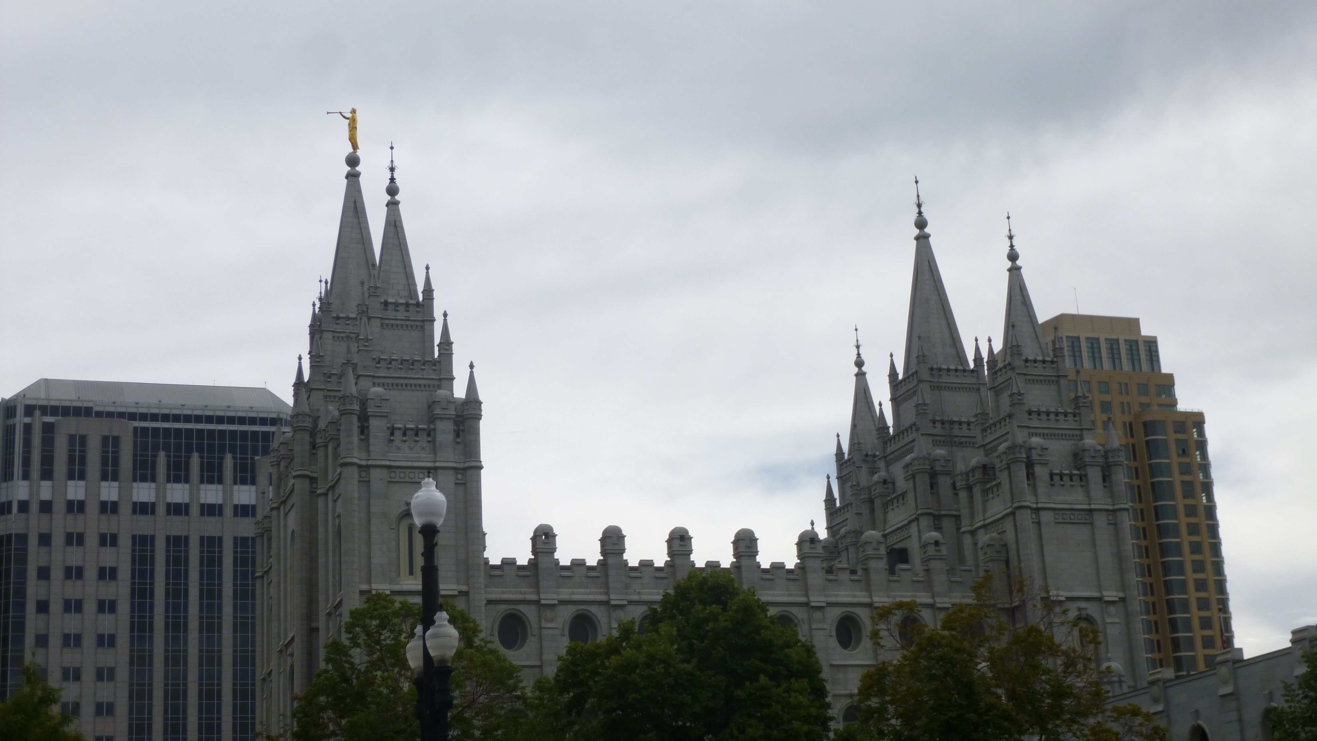
It was another gray, rainy morning, but I headed into downtown Salt Lake City anyway. All the addresses in Utah are a little strange at first – they all have 2 sets of numbers and 2 of the 4 directions (either north, south, east or west). But it does actually make sense. The numbers start at a central point in any given town (in Salt Lake City it’s the Mormon Temple) and streets are laid out in a grid, and the numbers simply increase the farther away one gets from the center, and the 2 directional words let you know what directions to go in.
Tula and I took a short walk downtown, then it began to rain. I drove up the hill to the visitor information building across from the capitol and got some information. Even though it was raining, I set off down the hill to Temple Square, but I didn’t get too far. It was raining hard, and it was so windy I was battling with the umbrella. I decided to just go back to the van and wait out the storm, since I had things I could do while I was waiting. After a half hour or so, it began to let up a bit and the wind seemed to calm down, so I tried again. This time I went over by the Capitol building, which is a big majestic building with the typical dome, and there was a landscaped walkway all around the grounds and I covered a mile without getting too wet.
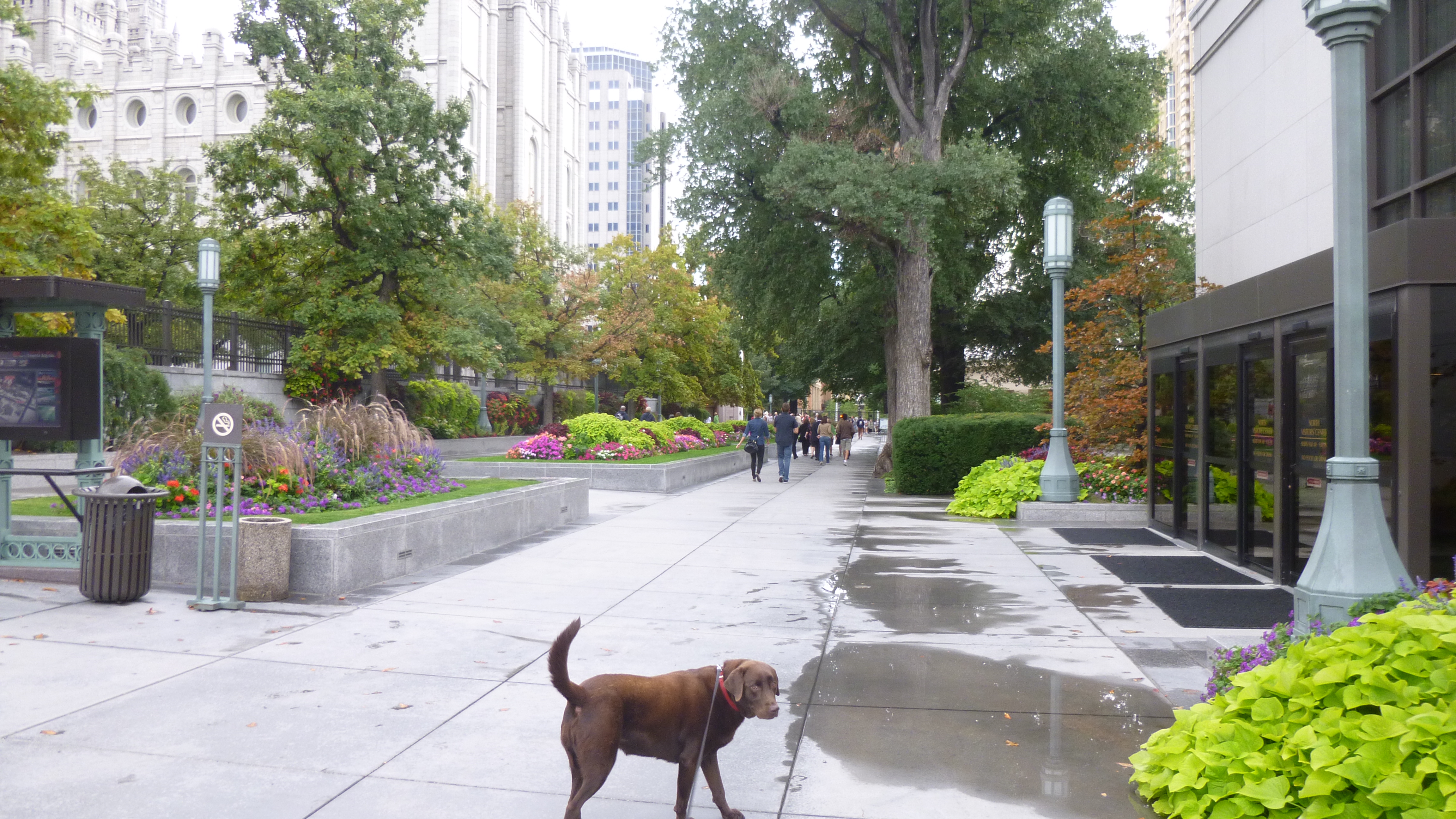
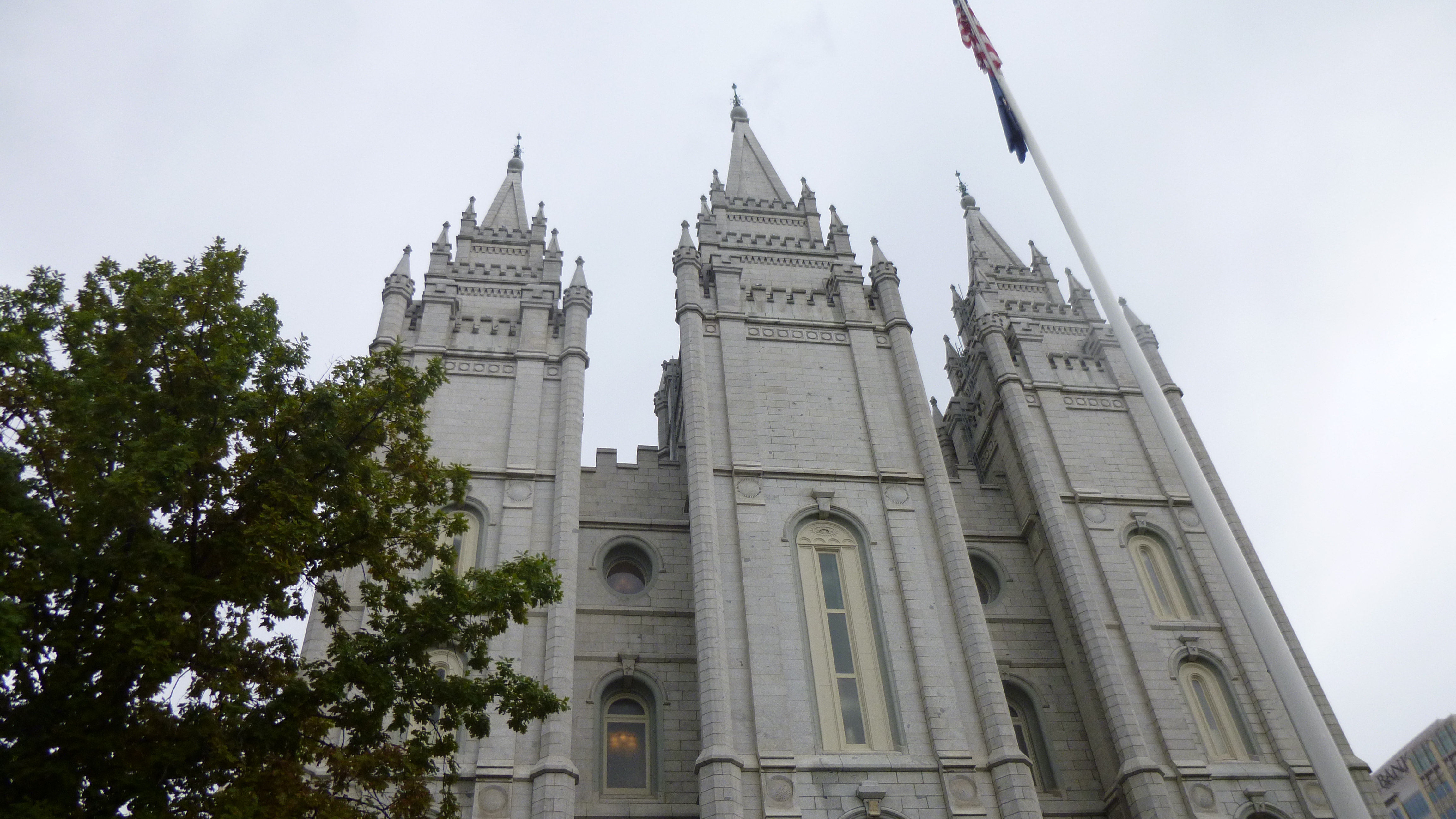
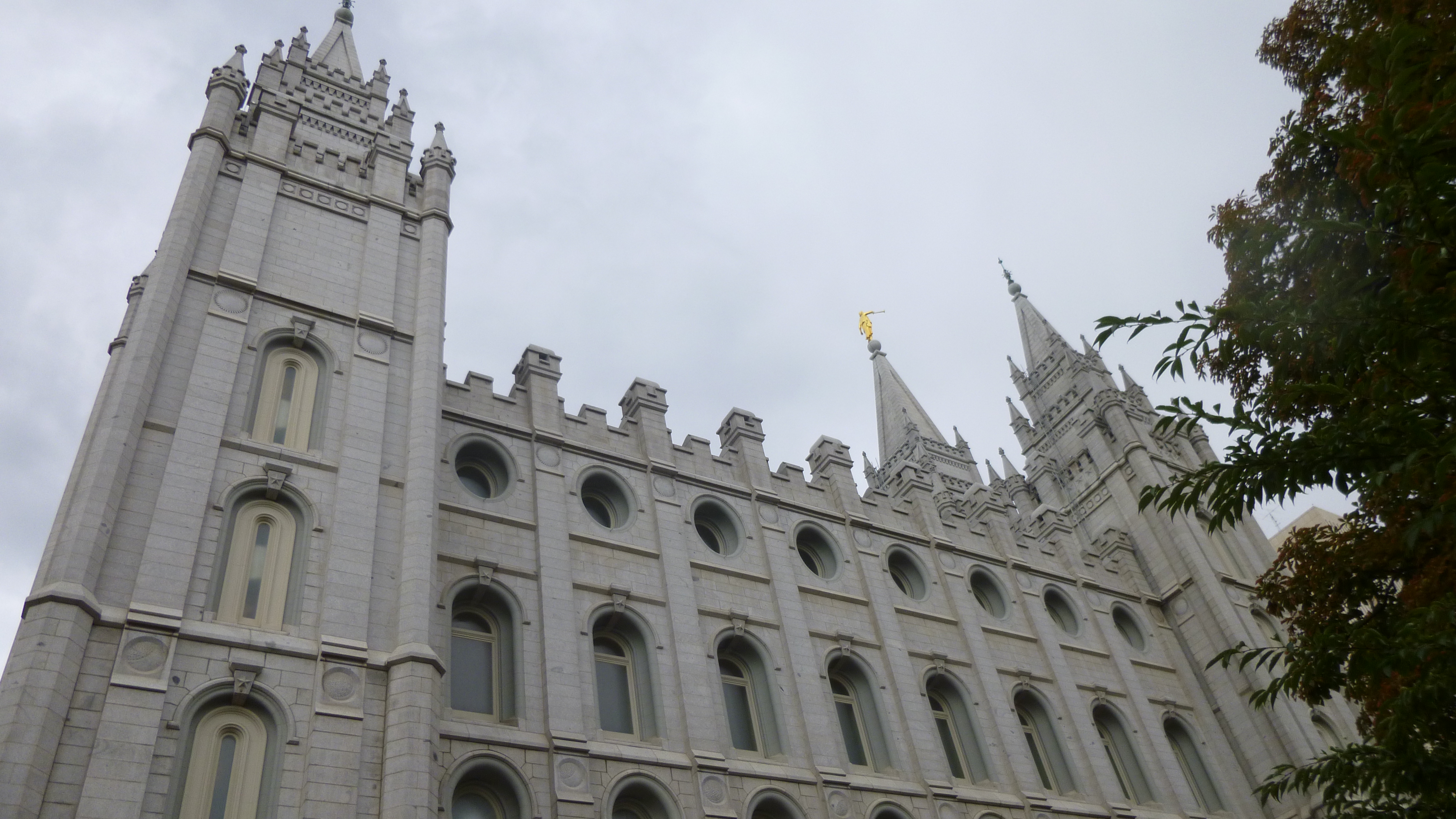
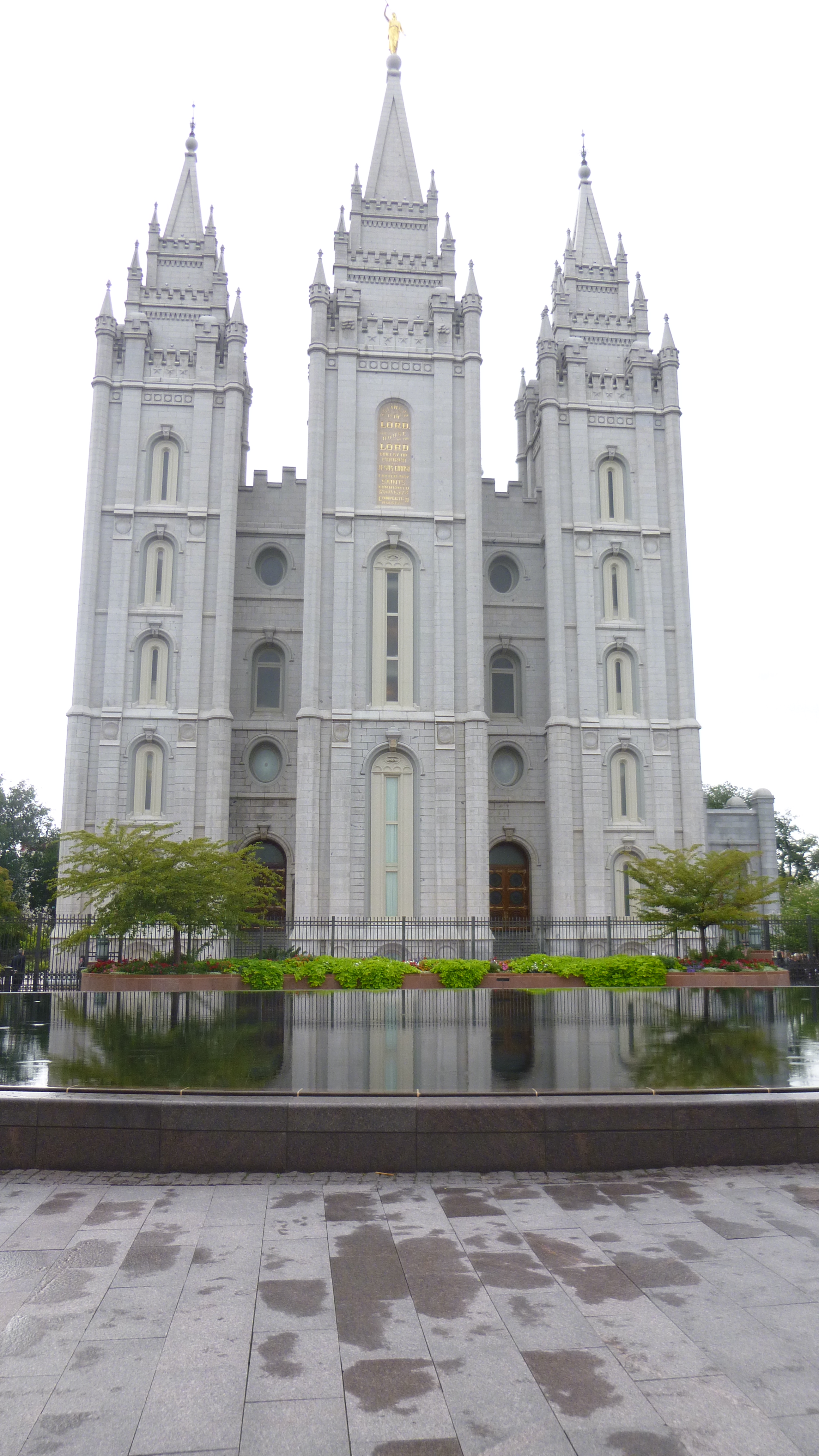
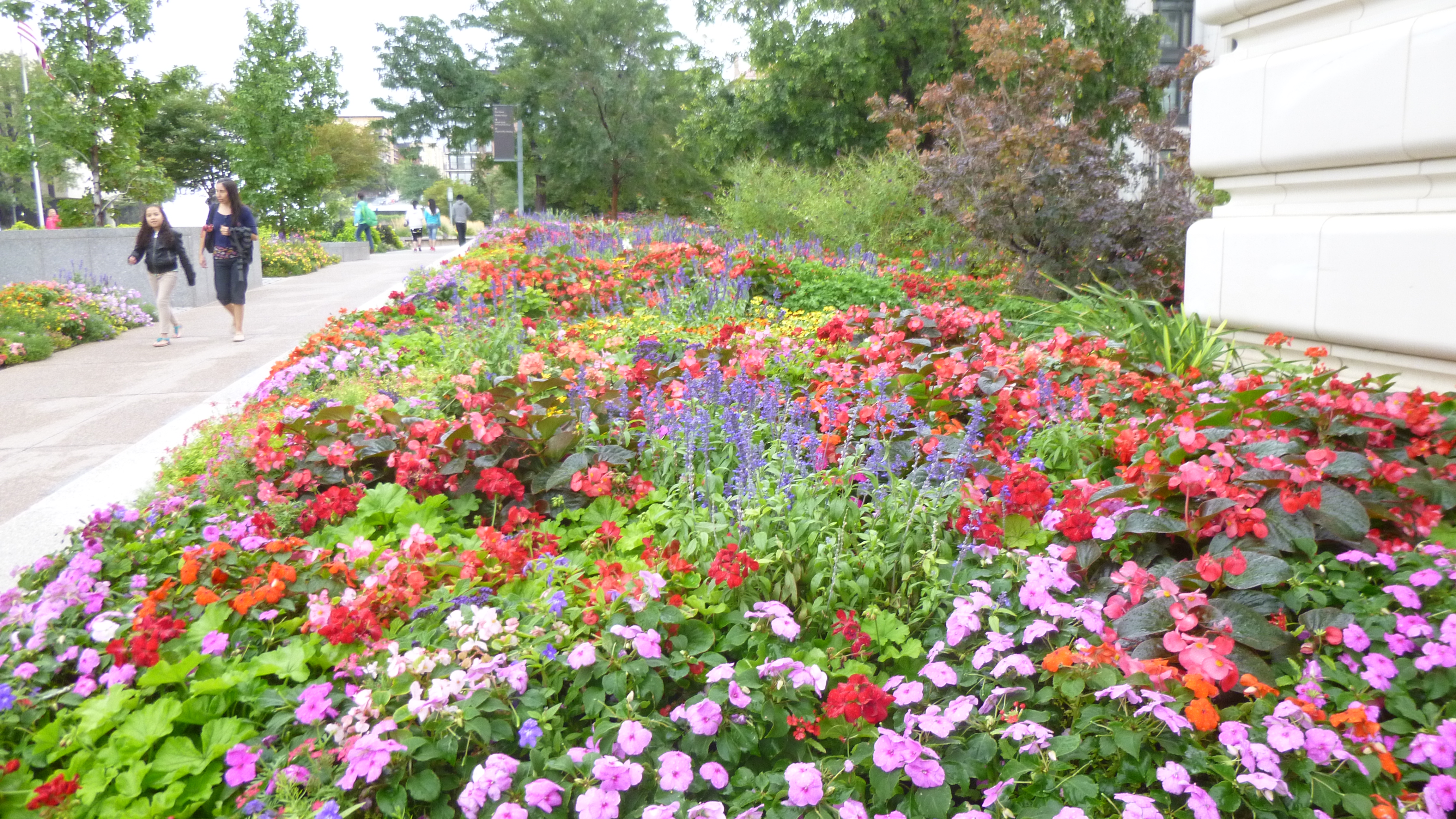
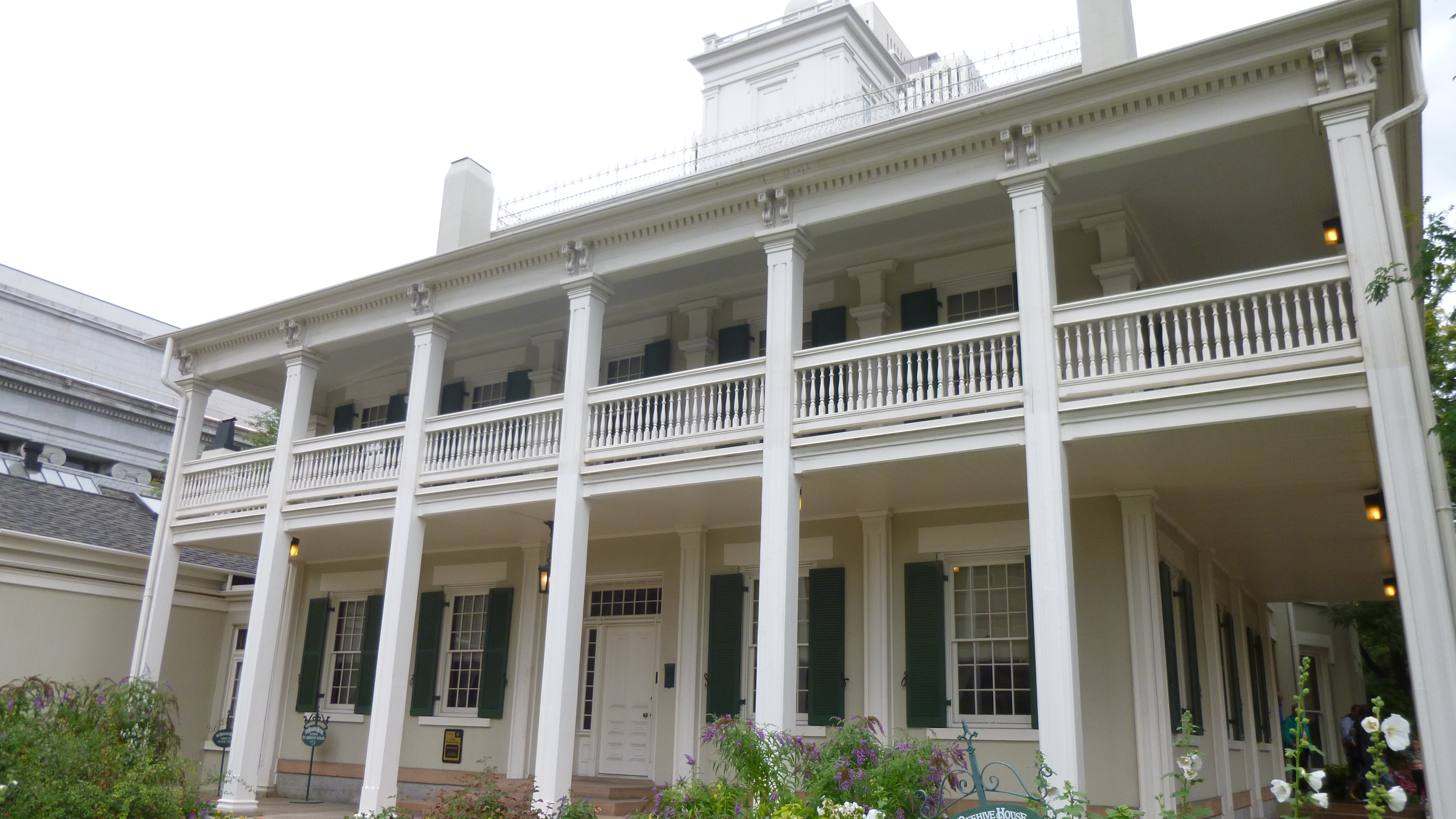
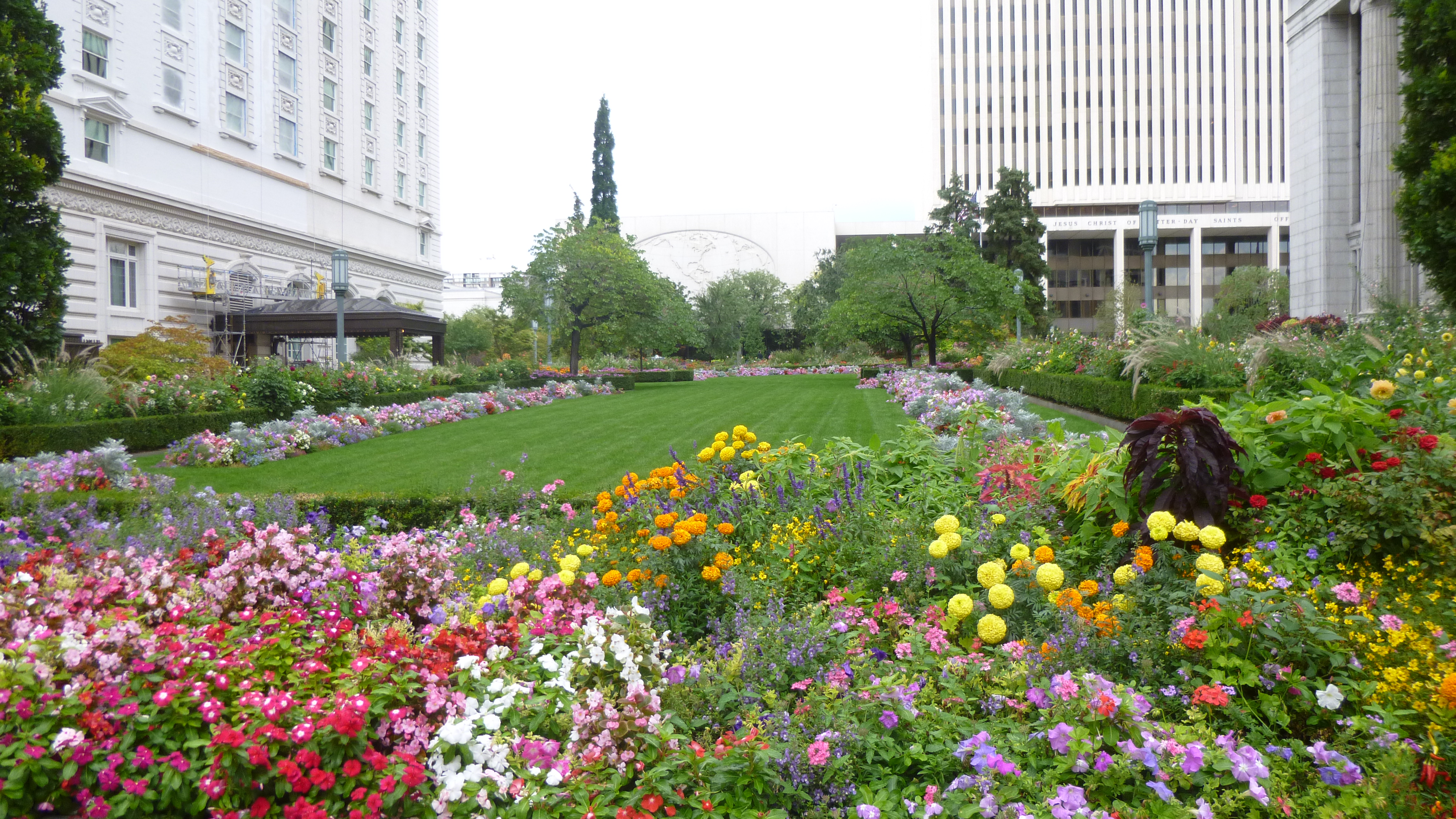
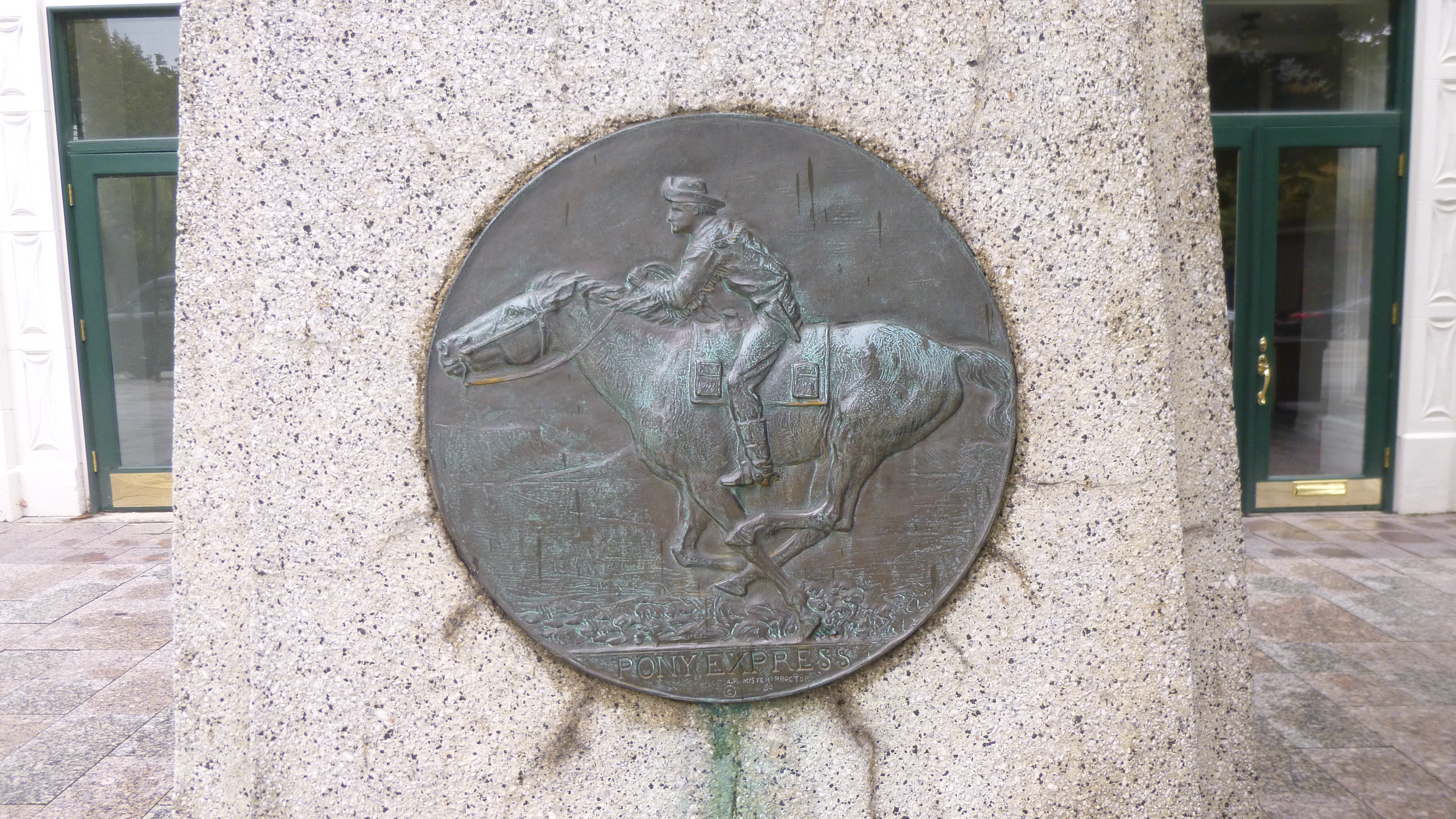
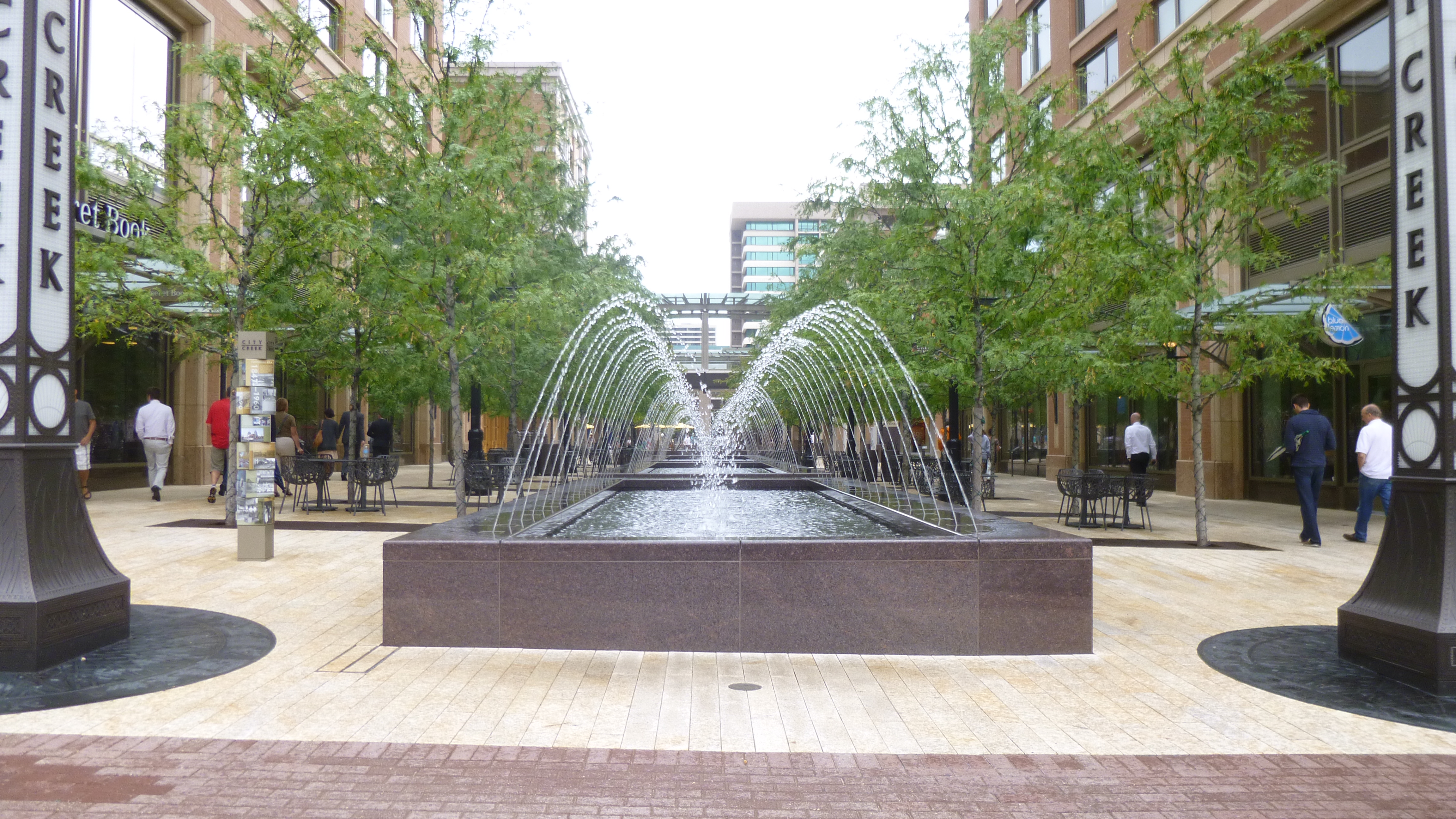
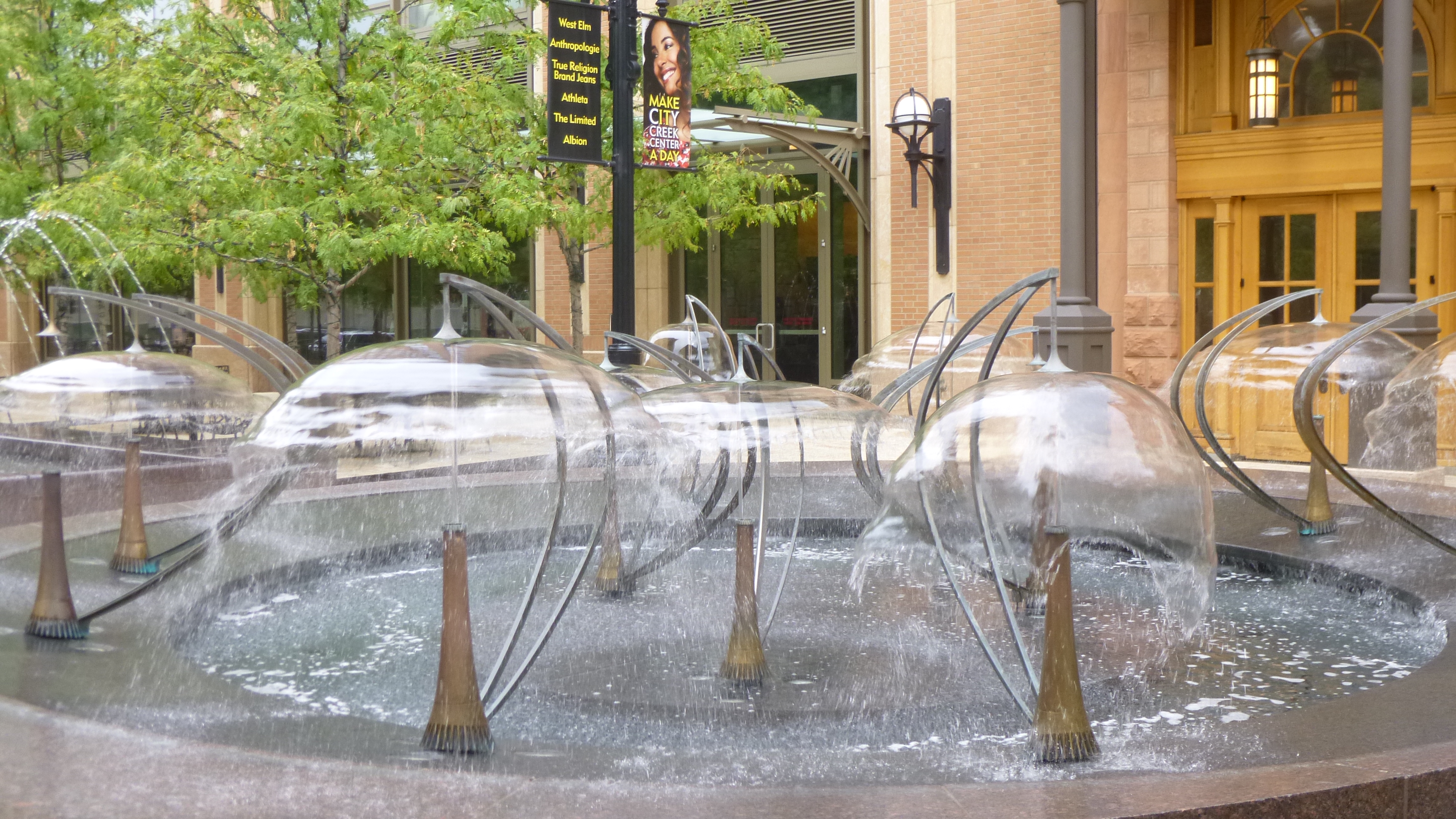
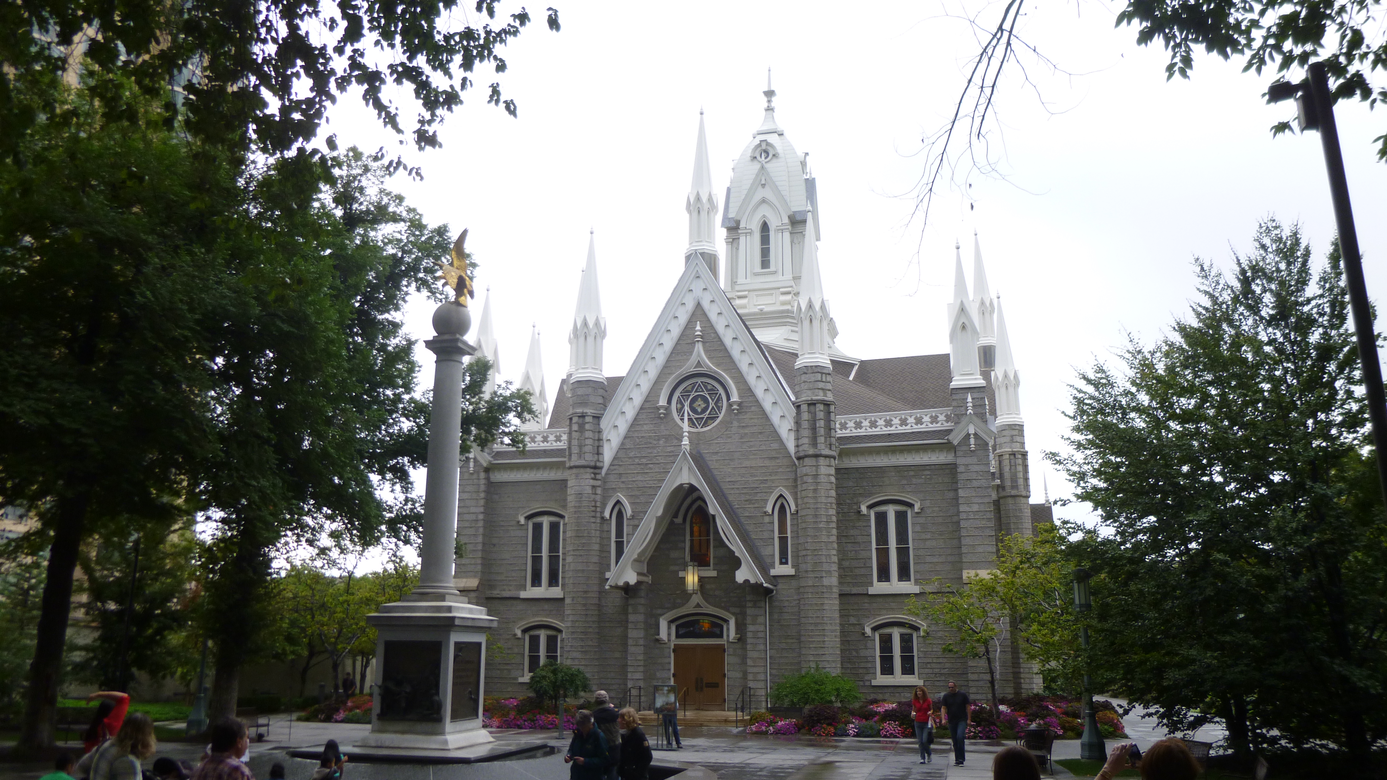
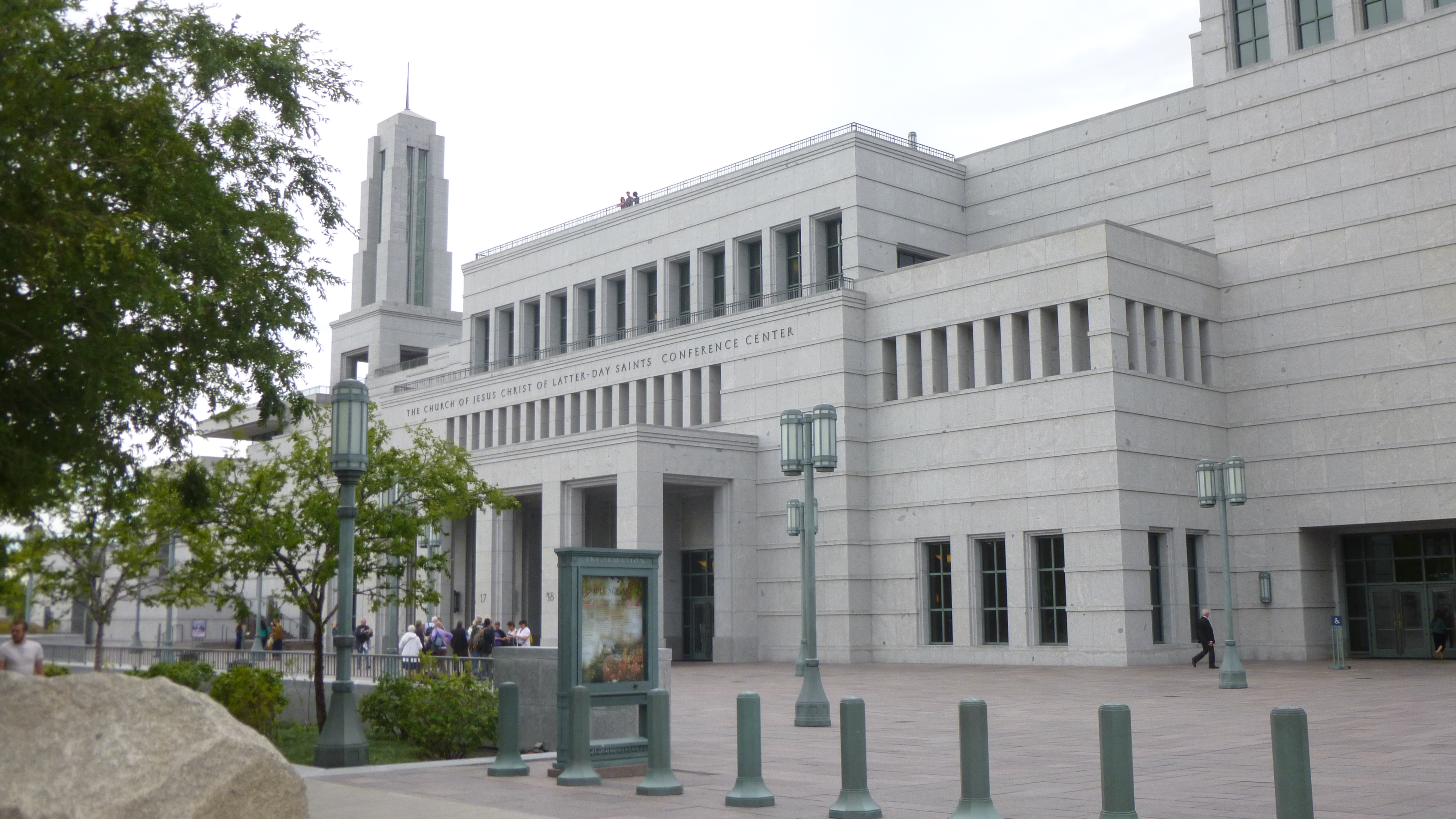
Then I drove down to the Temple Square area, and Tula and I walked all through that. It’s more than just the temple – it’s a whole complex encompassing many acres. The temple itself is huge, and there are lots of big Mormon buildings in the complex. There’s a many-storied office/building building, a large conference center, statues and monuments, and 2 elegant visitor centers, with large paintings depicting their religious story that one walks by even to get to the restrooms. The grounds are all landscaped and there were lots of pretty flower gardens. This is the world headquarters of the Church of Jesus Christ of Latter Day Saints (the long name for the Mormons!). The Mormon library and museum are also nearby. There seemed to be a lot of young men and women around, in addition to the few older ones – the guys were all in white dress shirts and dark dress slacks and the young ladies were all in demure below-the-knee skirts and blouses with tidy hair. They all seem eager to share the story of their religion, and I heard many different languages being spoken. There was at least one wedding going on, and I saw another bridal couple taking photos out on the beautiful grounds. After walking all around the whole area, Tula and I crossed the streets and walked through quite a bit of the rest of downtown Salt Lake City, including an outdoor shopping center with a creek and fountains and all. We covered a good 3 miles there. Salt Lake City was on the Pony Express route and there was a statue commemorating that era too.
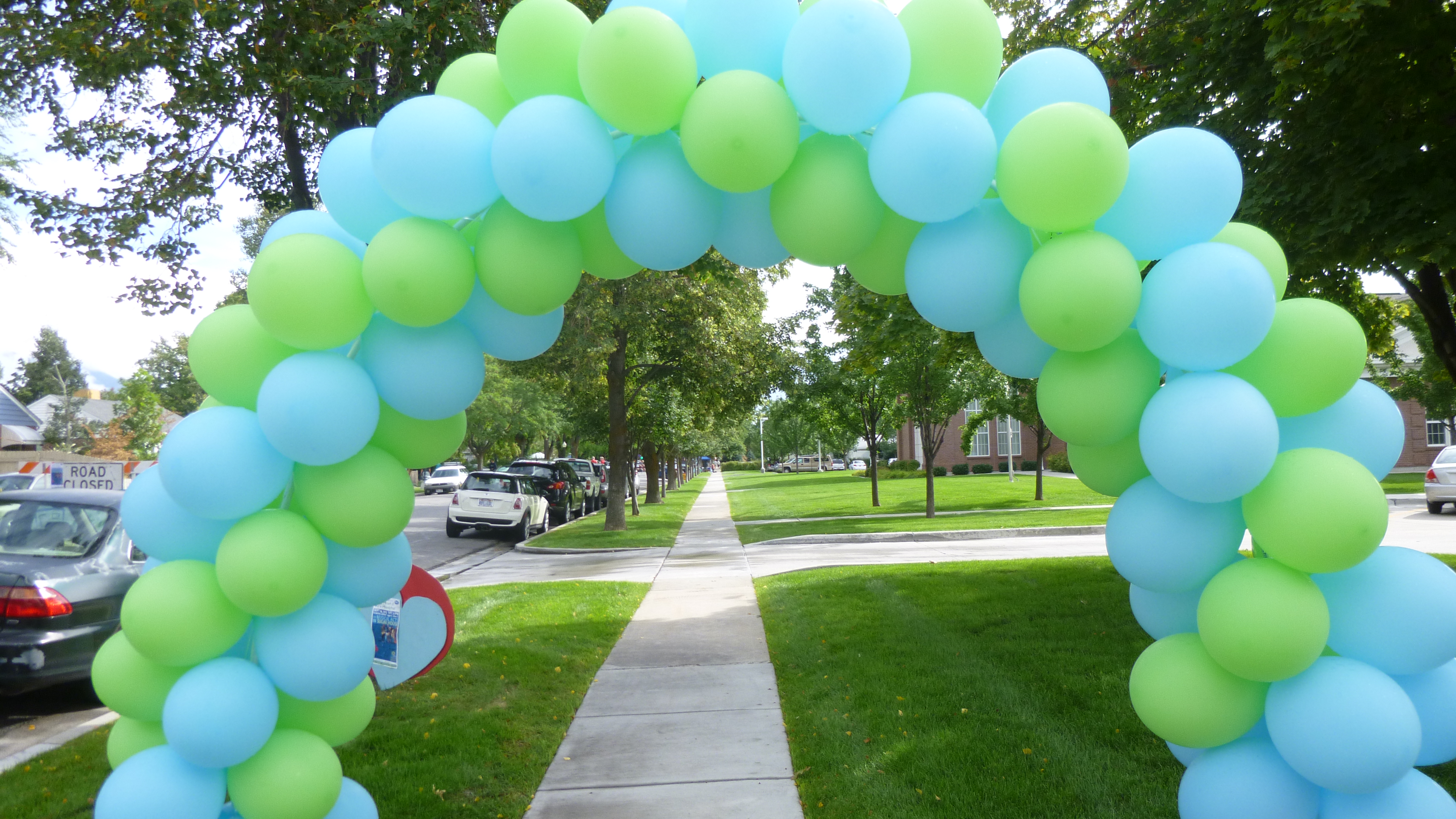
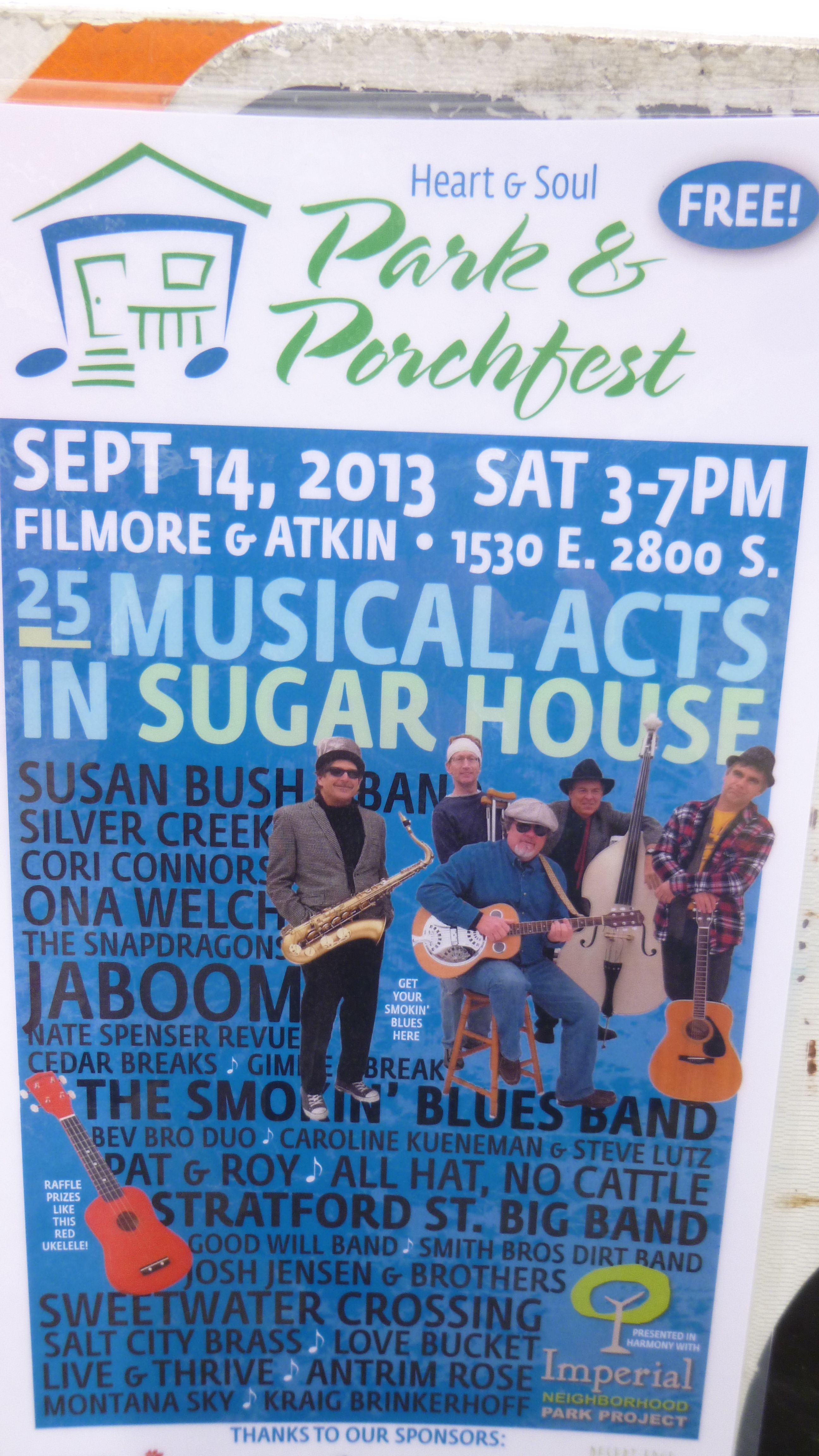
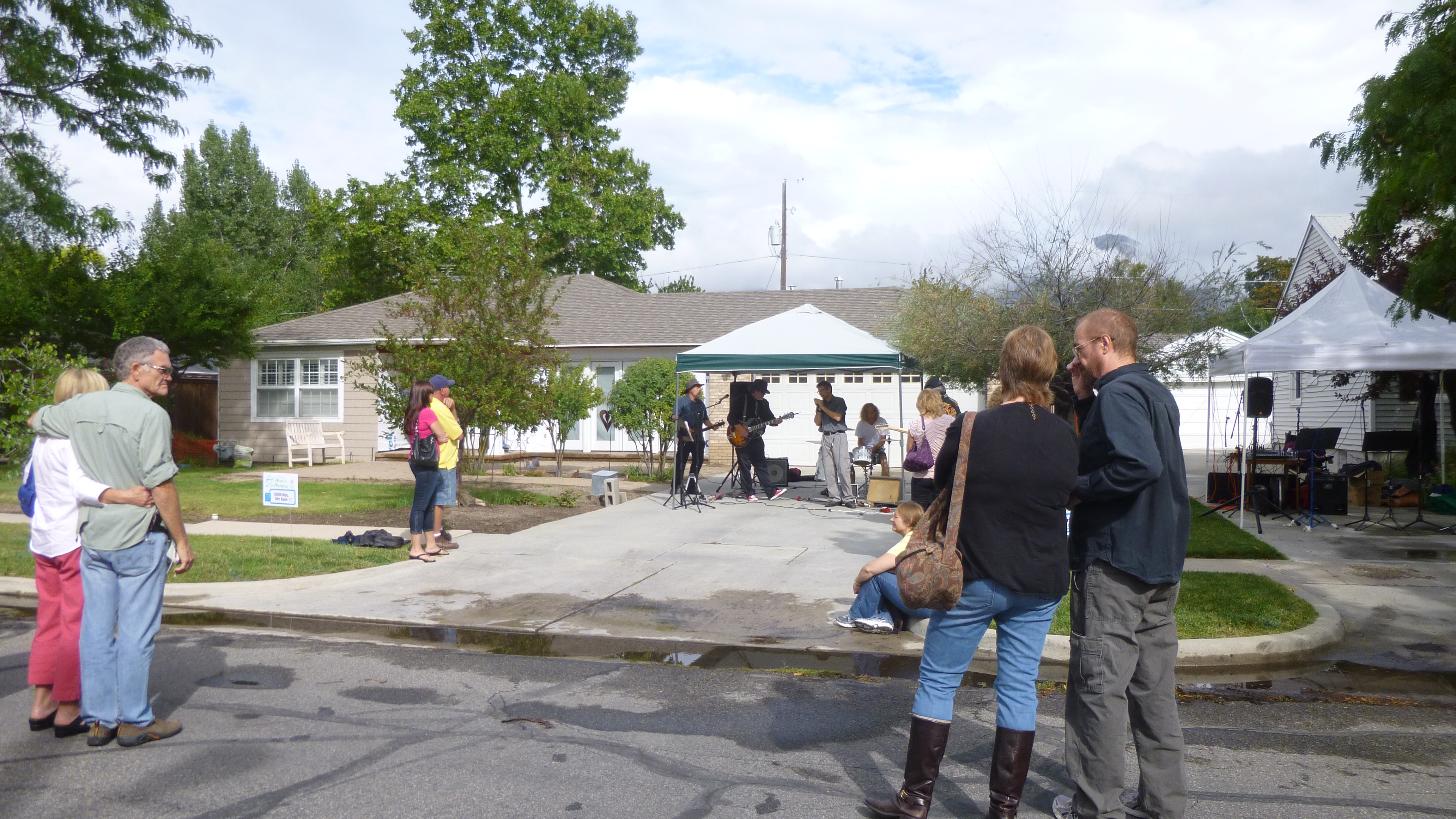
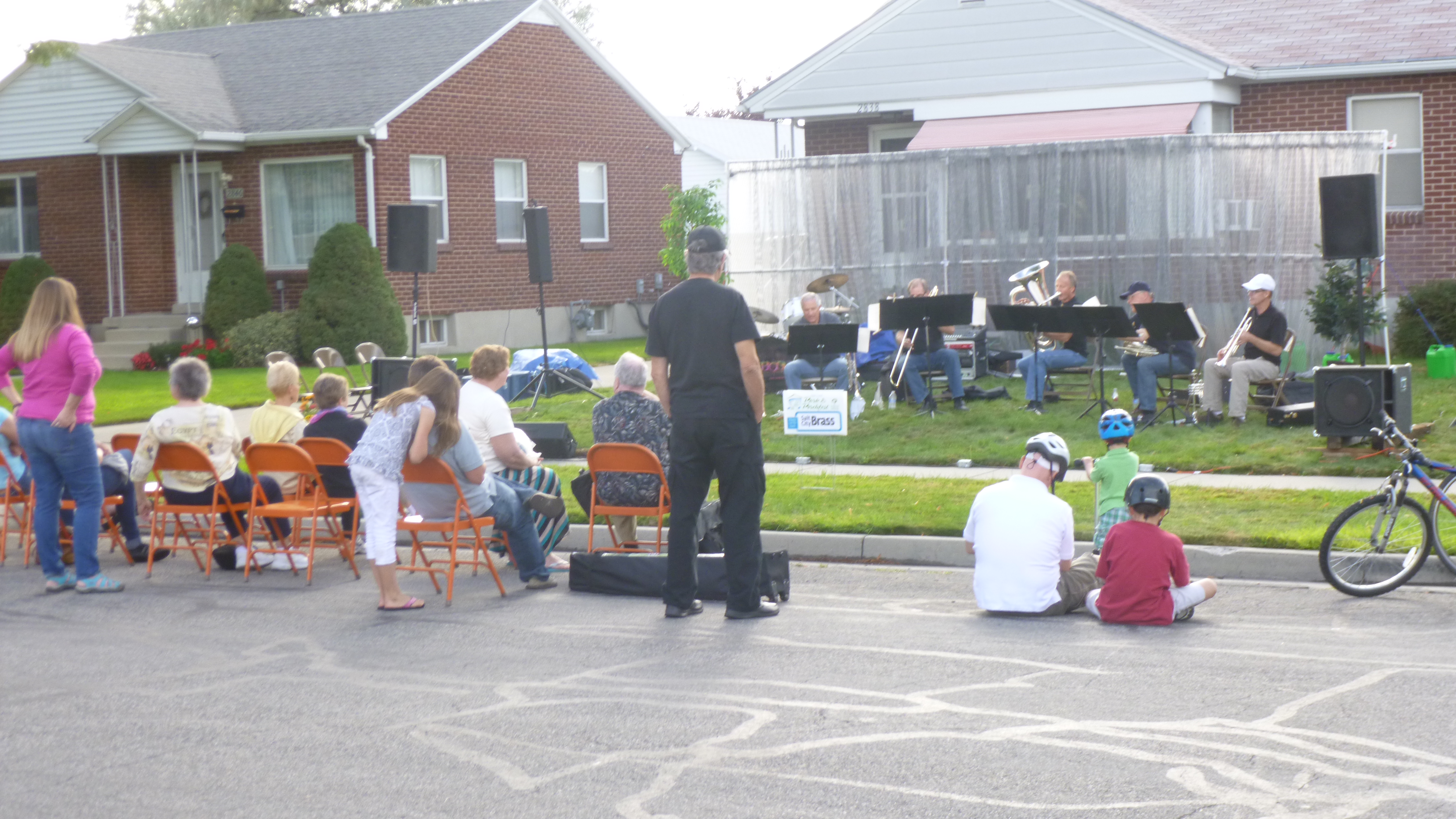
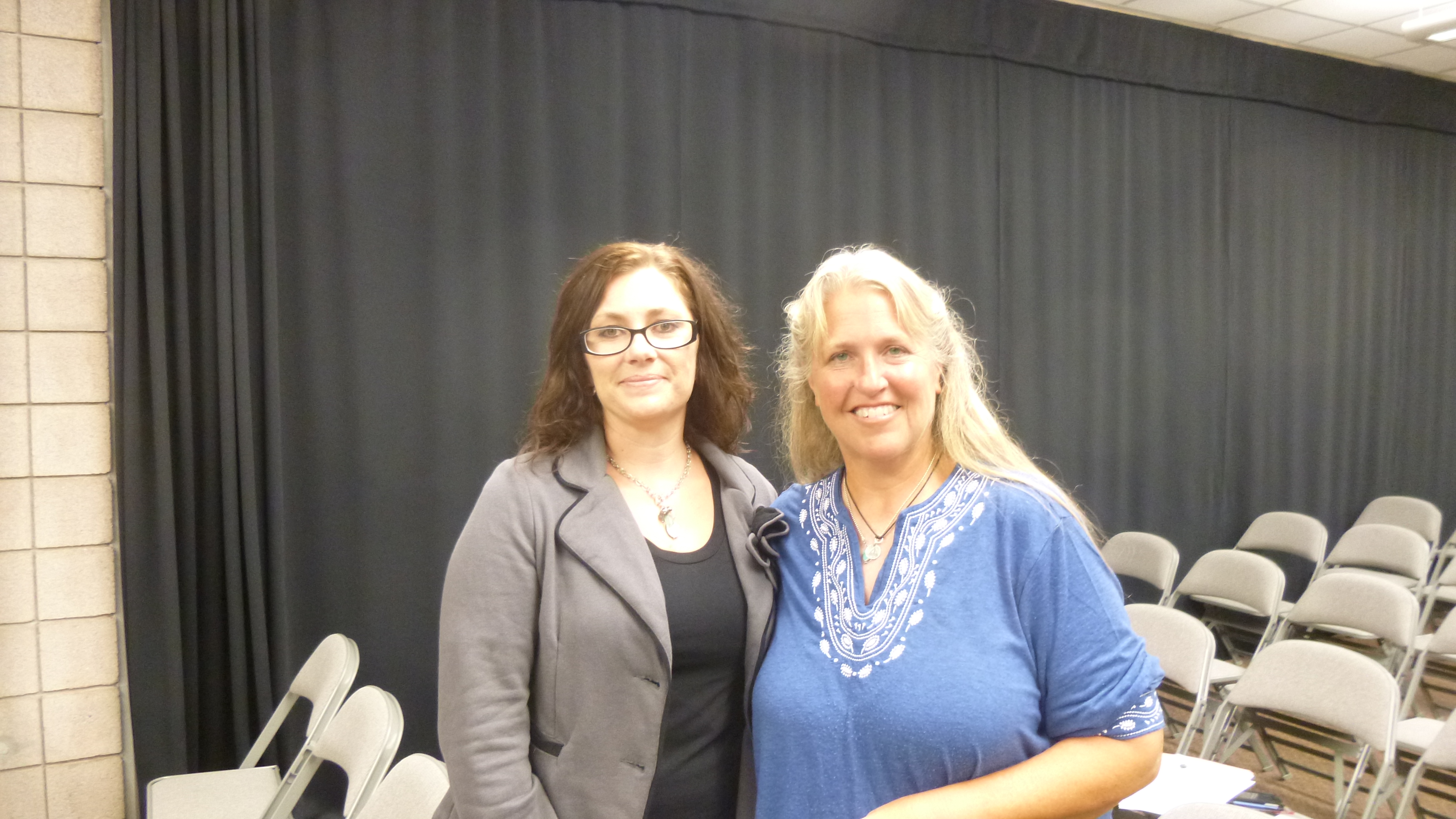
Then I set off to a southside neighborhood to go to a fundraising event called Porchfest. A couple days ago I had talked with an old high school friend, Perrine, who has lived in Salt Lake City ever since we graduated almost 40 years ago. She had a couple good donation suggestions and had told me about Porchfest, which is an annual gathering of 25 bands, and they all set up on the porches (or in driveways if the musicians don’t all fit on the porch) of numerous houses in one of the neighborhoods. The event goes on for several hours, and people can wander from porch to porch to listen to the music – the bands were spaced far enough apart so they didn’t try to play over each other. There was a whole variety of music – country, blue grass, big band, contemporary etc. The visitors could buy raffle tickets for a lot of prizes, and I think there was a silent auction as well. All the proceeds go to Heart and Soul, which is an organization which sends music groups (including the bands who were performing this afternoon) into long-term care facilities, hospitals, nursing homes, etc. to provide uplifting music free of charge to all the residents. I loved the idea – music can really help to raise the spirits! So I was happy to come to the event to both listen to the music and support the cause. I met up with my friend Perrine – we had only seen each other once in the last 40 years, and it was fun to meet up again and get a little caught up – we enjoyed our time together! She introduced me to some of her friends who were there, and we finally tracked down her friend who is the organizing force behind Heart and Soul, and I gave her my donation. I haven’t made a donation like this on my journey, and I just thought the whole idea was a lot of fun – fun for musicians, the neighbors and visitors wandering around, and good for the residents who ultimately benefit from the free mini-concerts that they get.
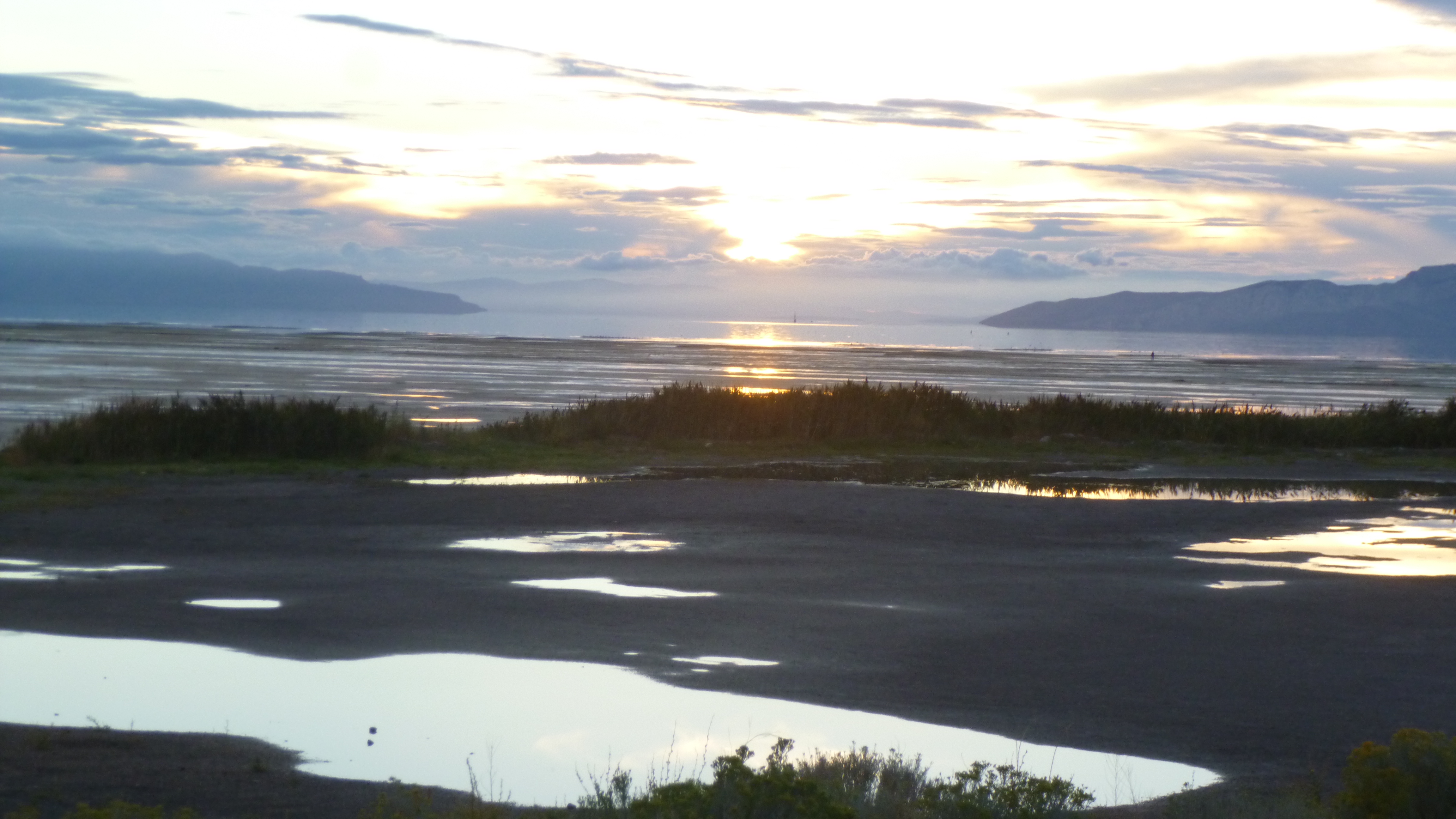
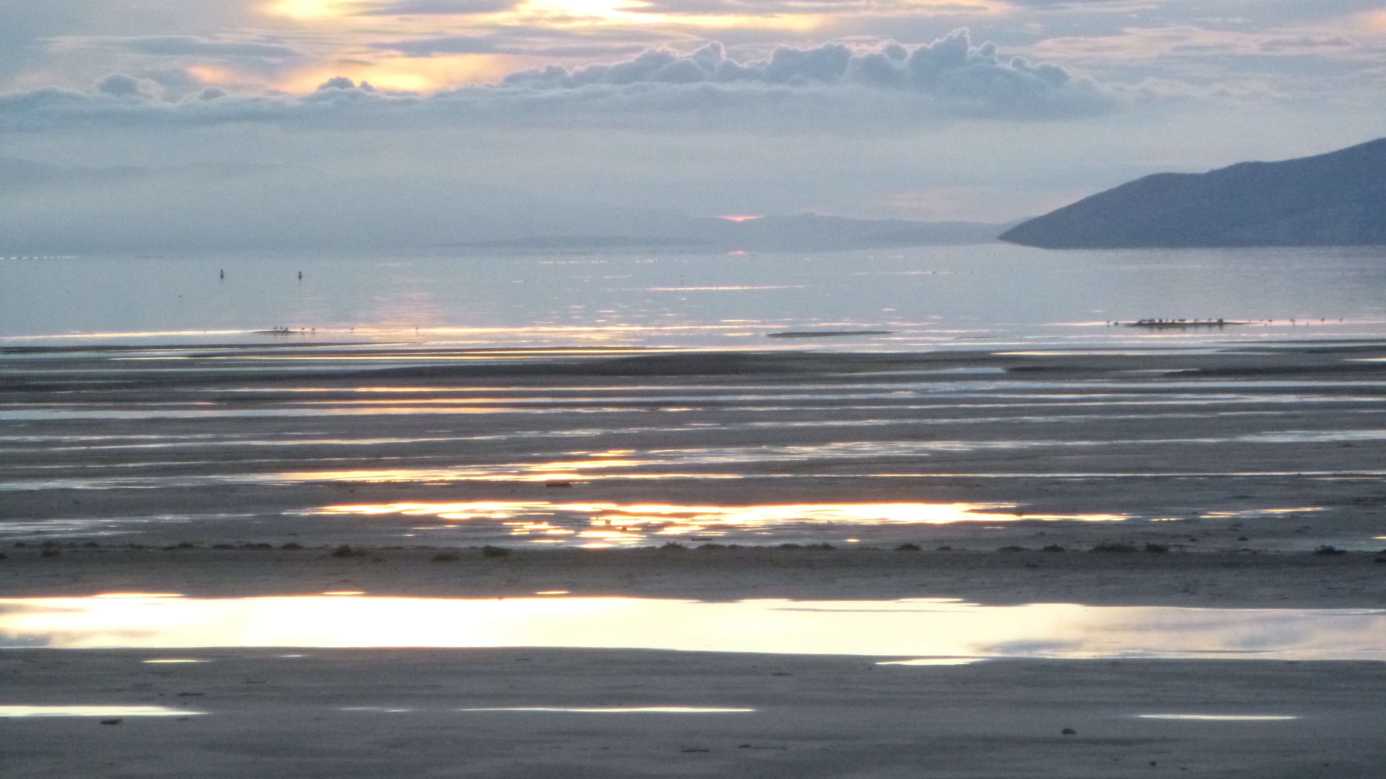
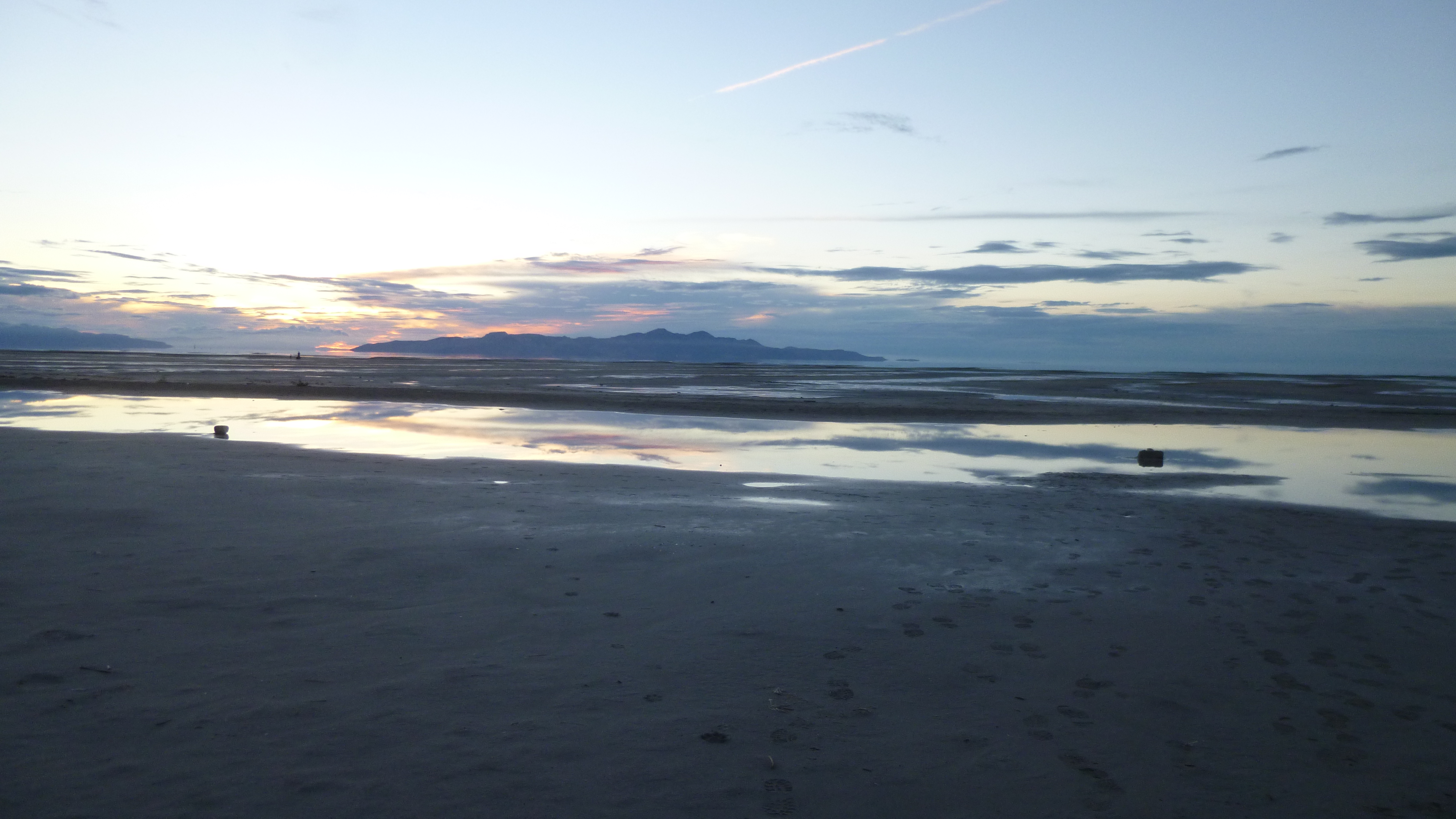
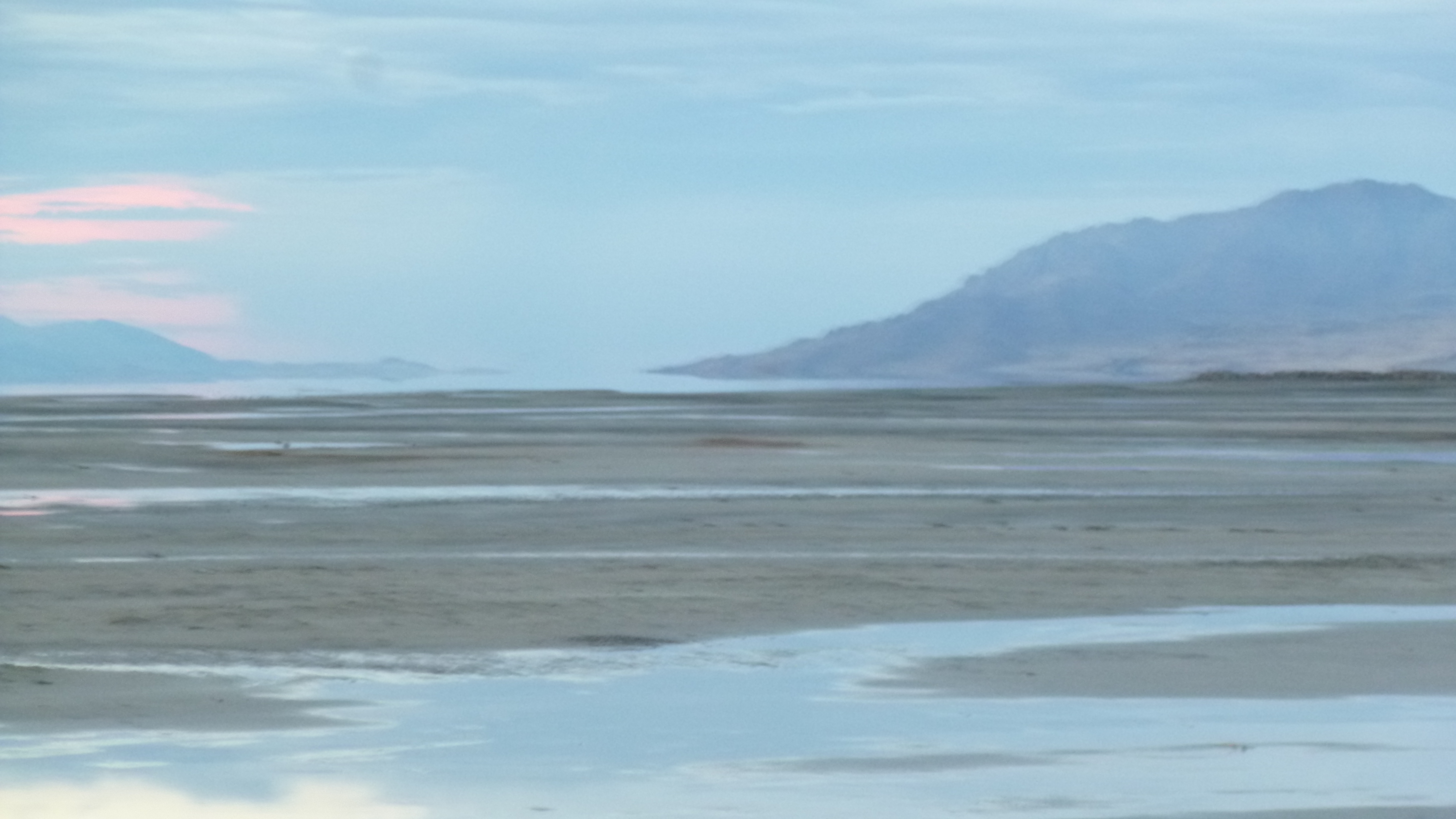
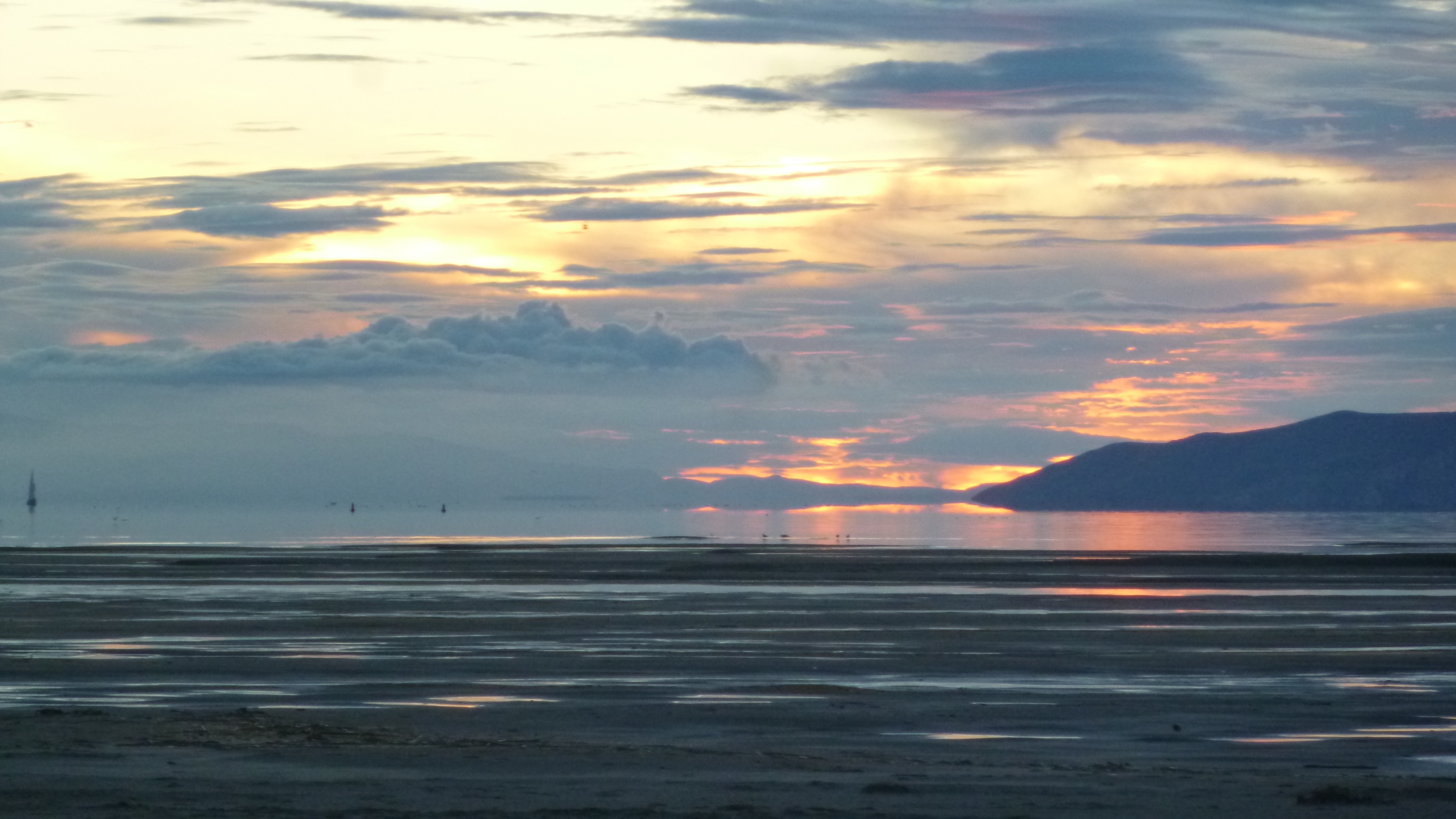
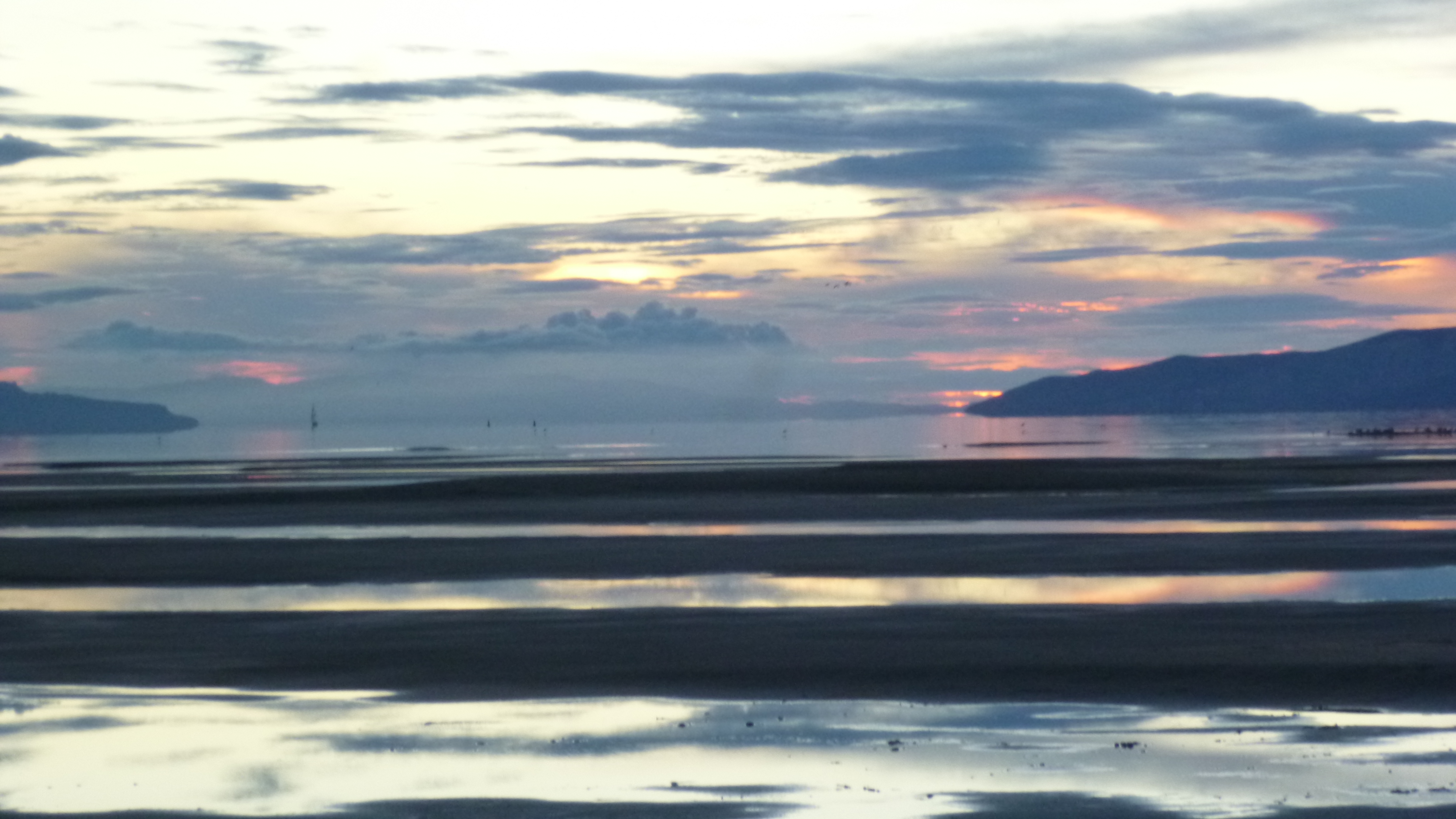
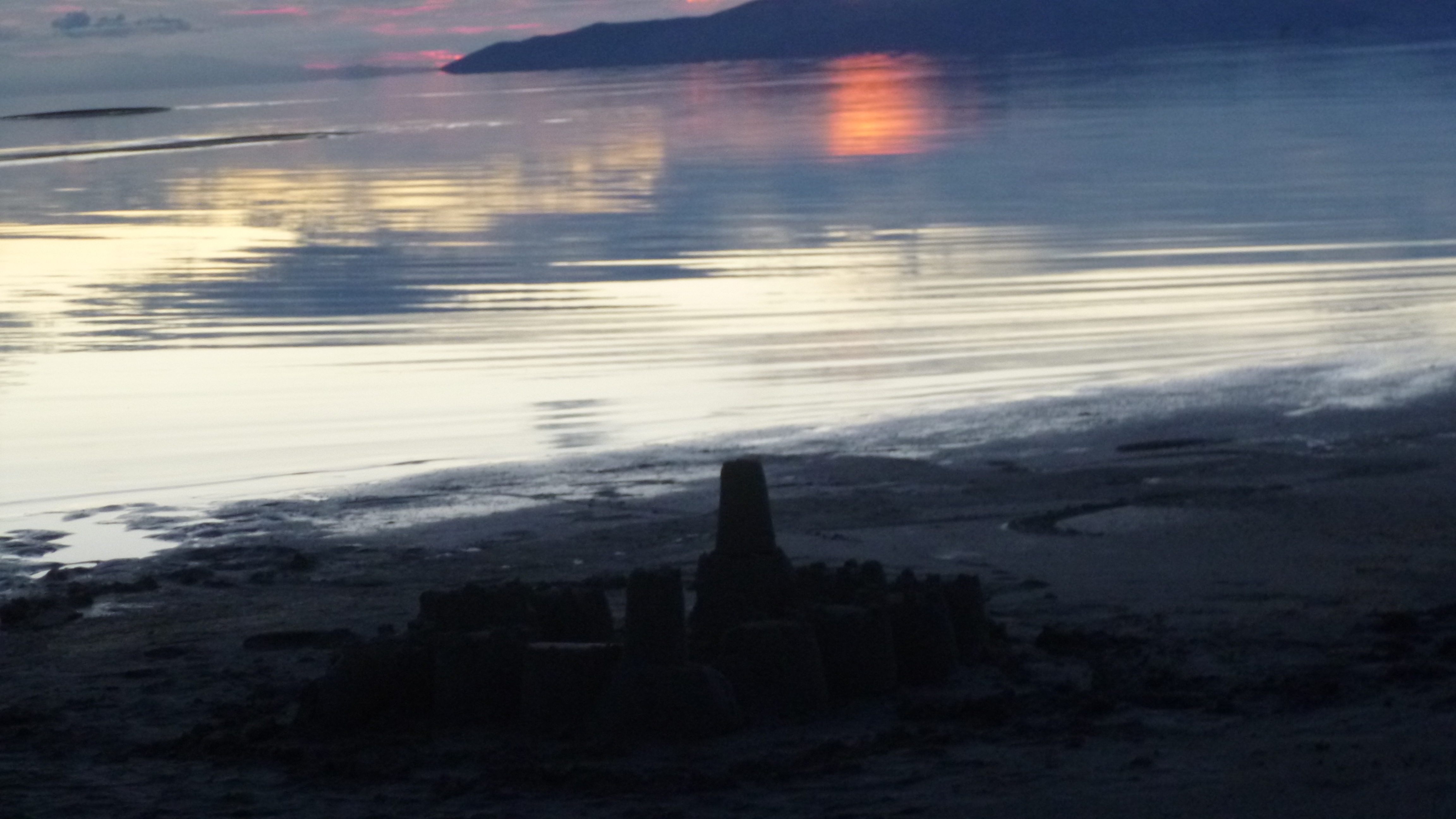
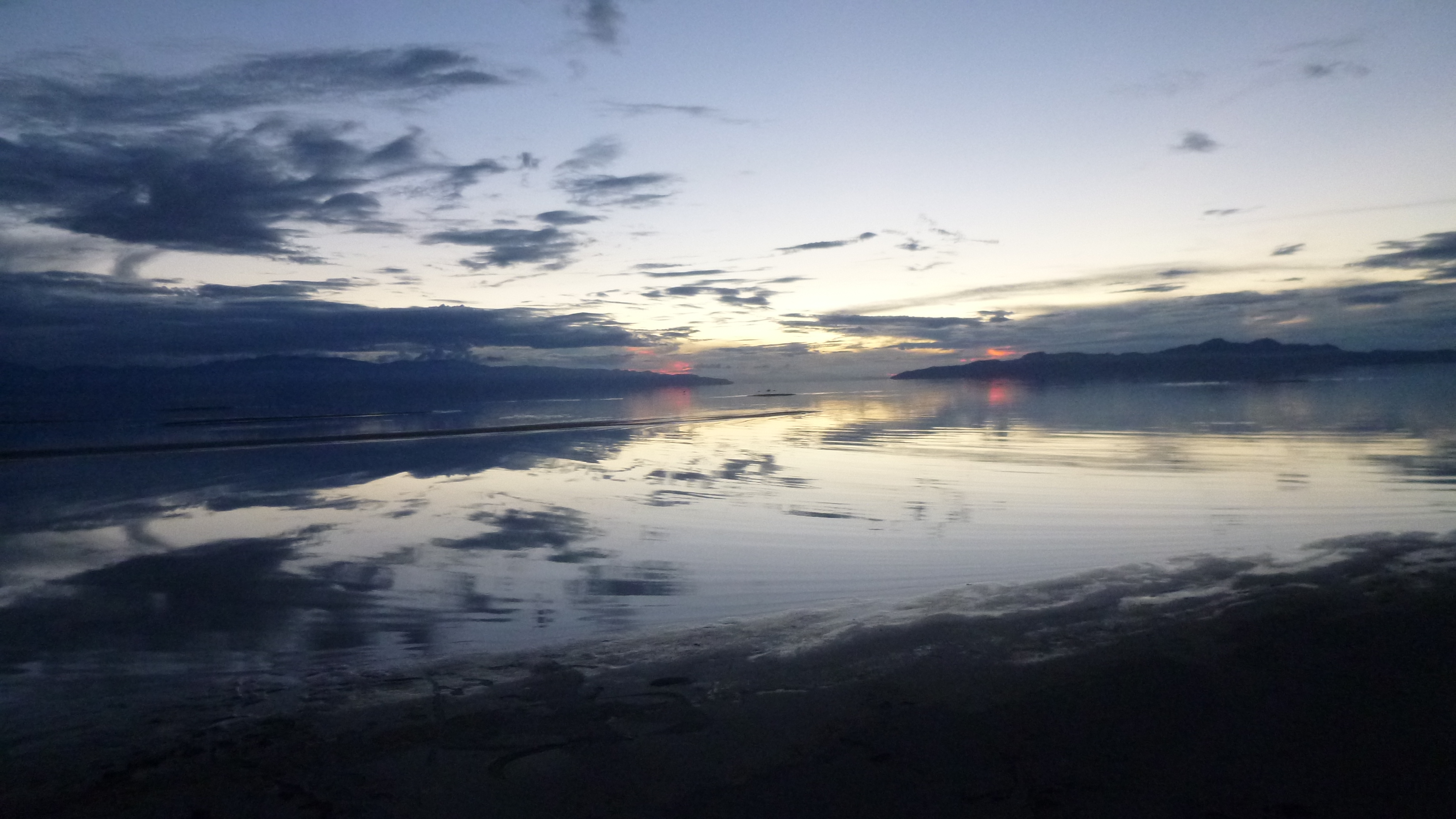
I left in time to try to get out to the Great Salt Lake – I couldn’t leave town without seeing that. The lake is huge, but Perrine gave me good directions how to get out to part of it. She cautioned me that the lake is very low, and the the water has receded way out from the normal shoreline. I got out there, and the sun had just set, but it was still light out. And it did seem kind of strange – all I could see at first was mud flats extending way out. It just looked like a dried-up lake. But I could indeed see water way out in the distance, and there were a couple people walking out on the sands, so I headed down there too. I had to walk a long ways out there, and in the fading light the whole place began to have kind of an eerie feel to it. I was walking on the sand, and there were small puddles of water in places, and dried up weeds, and even clumps of bird feathers like the birds had all died. There was a bad sulfur-like smell in the air, and these mud flats just kind of stretched out as far as I could see. There was no sign of life, and it was almost like I was the sole survivor of some catastrophic event – I think it was the clumps of bird feathers that did it. And to add to the unreal sense, the way the lighting was in the west almost made it appear like there were 2 suns setting simultaneously, which I sort of caught in my last photo that I attached. I did finally reach the edge of the water, but everything was so still and calm it was hard to see where the water ended and the sky began, especially in the evening light. It was hard to believe this was the Great Salt Lake. I hurried back in – I didn’t want to be out there in the total dark! I headed back to Midvale at the end of another full, busy day.


Utah – Friday, September 13
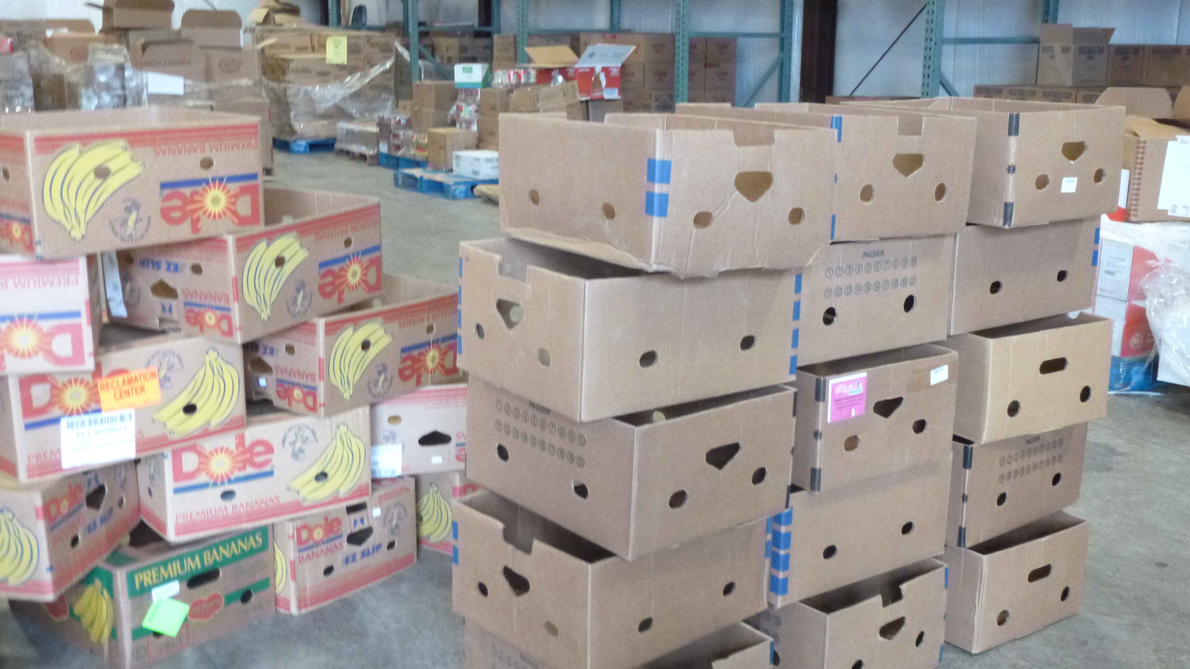
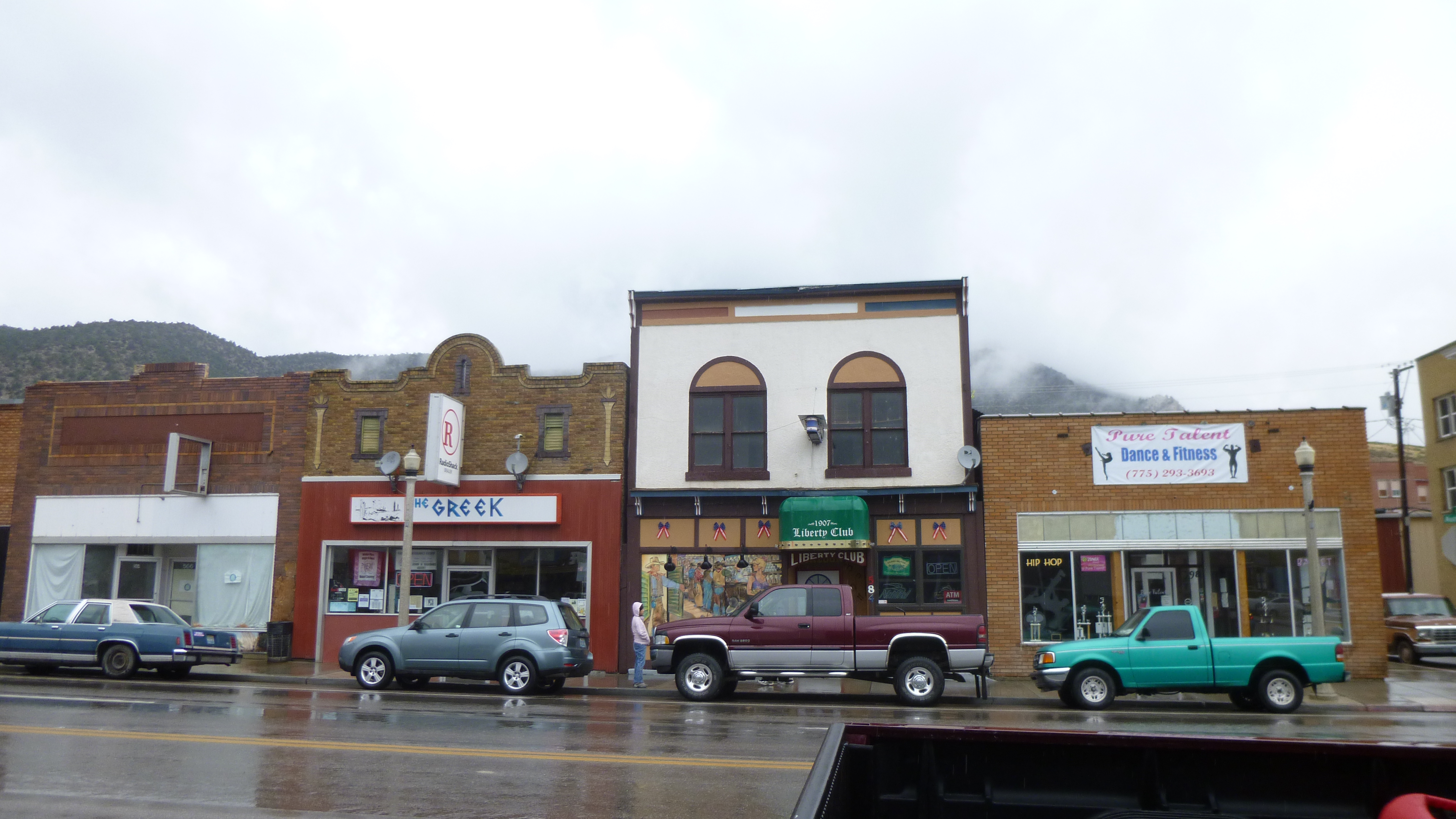
Today’s donation was going to go to the Richfield Food Pantry, which is a hub for the Central Utah Food Sharing program. I had looked for the food pantries in Delta and Fillmore yesterday, and I couldn’t find the one in Delta, and the one in Fillmore didn’t look as though it had been open recently. But when I drove up to the Richfield food pantry, I found one of the volunteers getting ready for an extra distribution of some produce. I asked if a financial donation or a food donation would be preferable, and although he said it was really up to me, it sounded like they’re able to purchase food at wholesale prices at one of the other bigger food banks, so I just made a financial donation. The volunteer who I met was in the process of rotating the stock in the walk-in cooler, so that people are sure to use the things that expire earliest first. It sounds as though this is a weekly task, so things don’t get lost in the shuffle, then wasted, just because they were forgotten about in the backs of the coolers or shelves. Juvenile delinquents are sometimes also sentenced to fulfill some community service hours by helping with the moving and sorting – the local judge thinks it’s a useful place for the kids to think about people other than themselves. The food pantry was going to be open in a couple hours, and after rotating the stock he was going to start getting some of the food boxes ready. It sounds like banana boxes are the ideal size for sorting out groceries for families – there were stacks of them waiting to be filled. This food pantry also delivers food to families who are unable to come to them – they call their delivery truck Bob T. And on Fridays, there is an extra giveaway of food that Wal-Mart brings over. They used to just set the extra food out on tables, but that quickly got unruly, so the folks needing a little extra have to go through a more orderly process now.
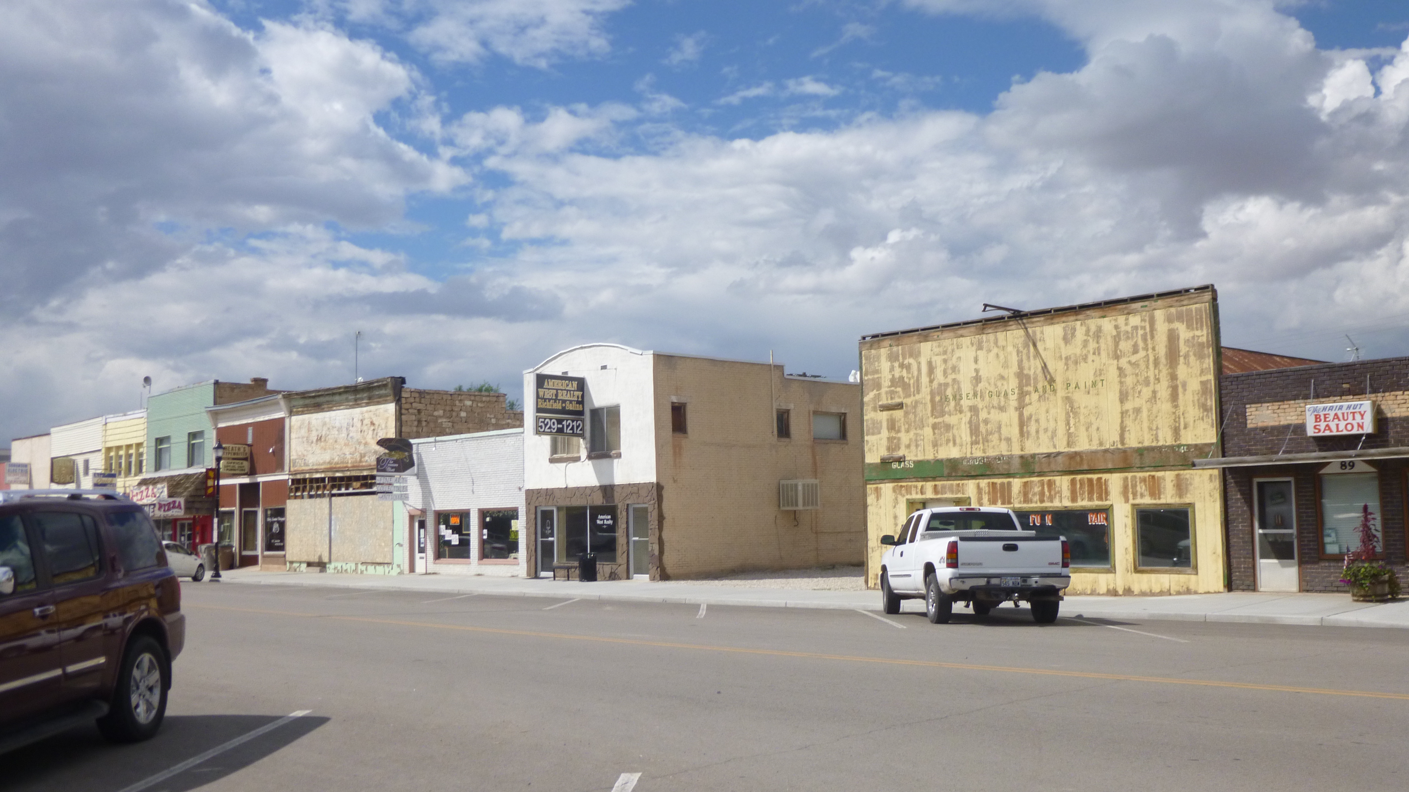
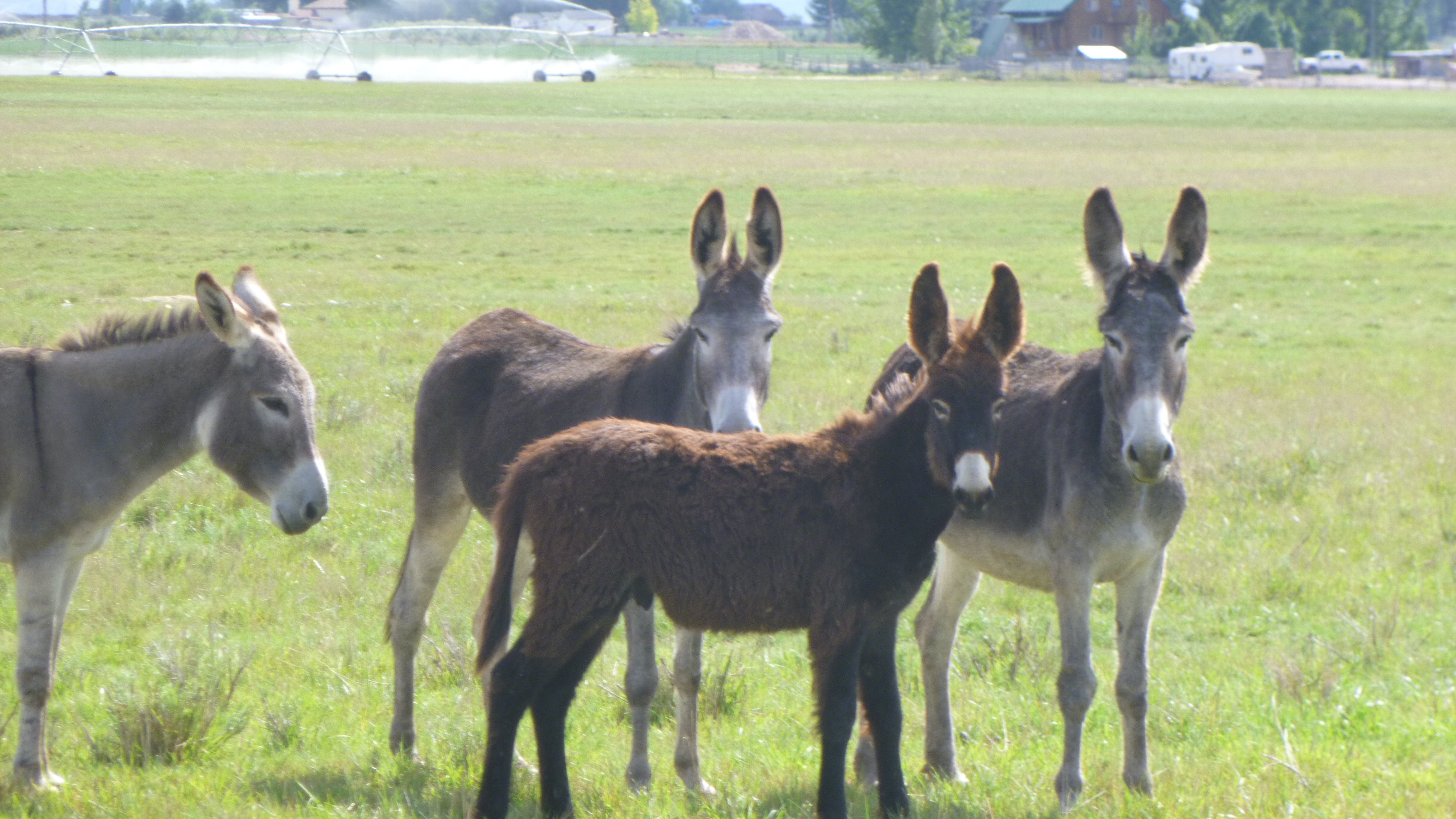
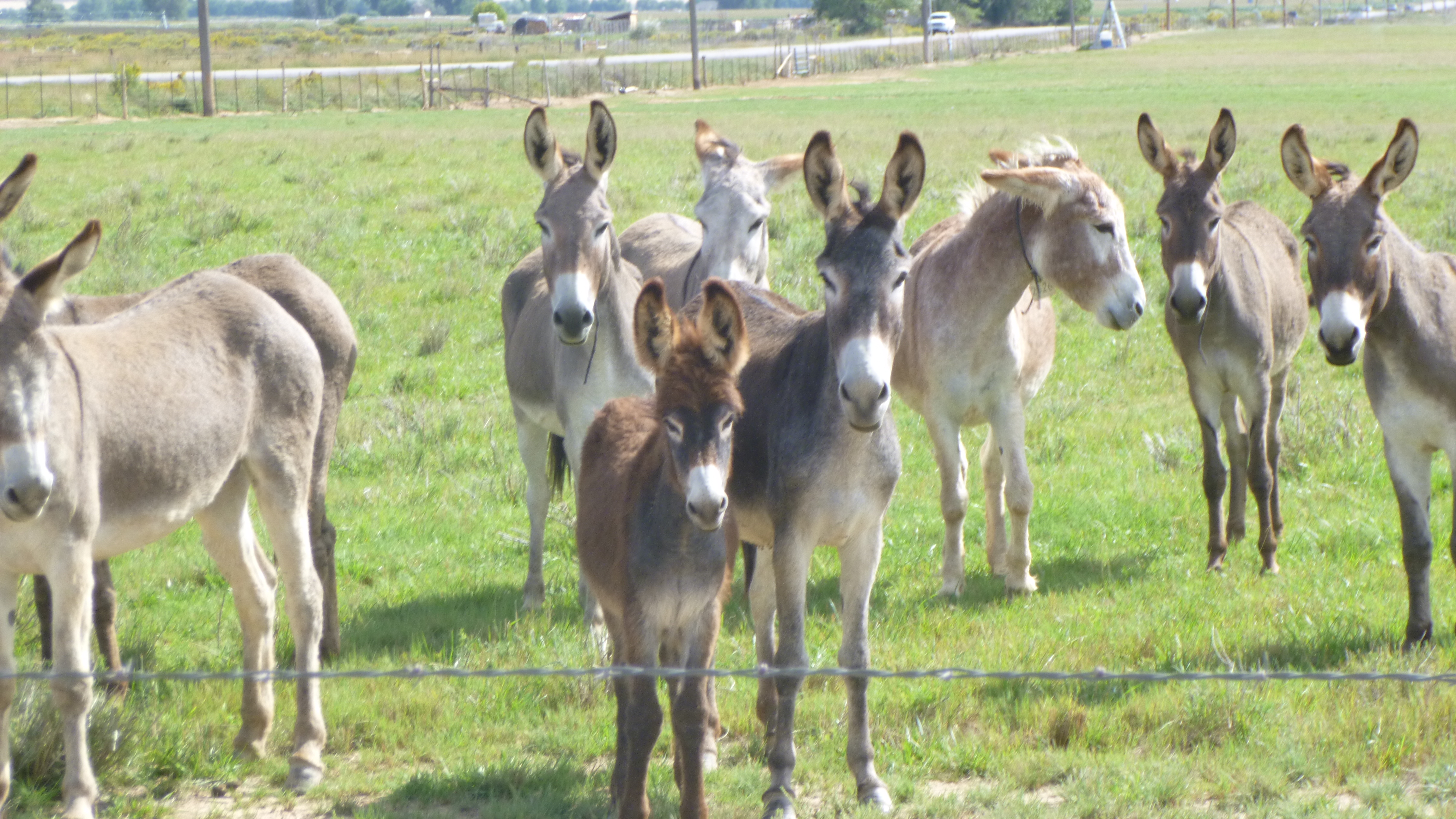
When I was done at the food pantry, Tula and I did a little walking in the town of Richfield, then we headed north to the town of Salina, where I covered another mile and a half. I enjoy walking through some of these sleepy little towns – Salina had a lot of old storefronts and wide streets, and apparently enough business to keep the town alive. As I was driving out of town, I passed the biggest donkey farm I’ve ever seen – there had to be at least a hundred donkeys out in a huge pasture. I got out of the car to take some pictures and some of them started wandering over to the fence where I was standing. There was a cute little black baby donkey who seemed almost as big as its mom. One of them started braying, and then a few more joined in – what a racket!
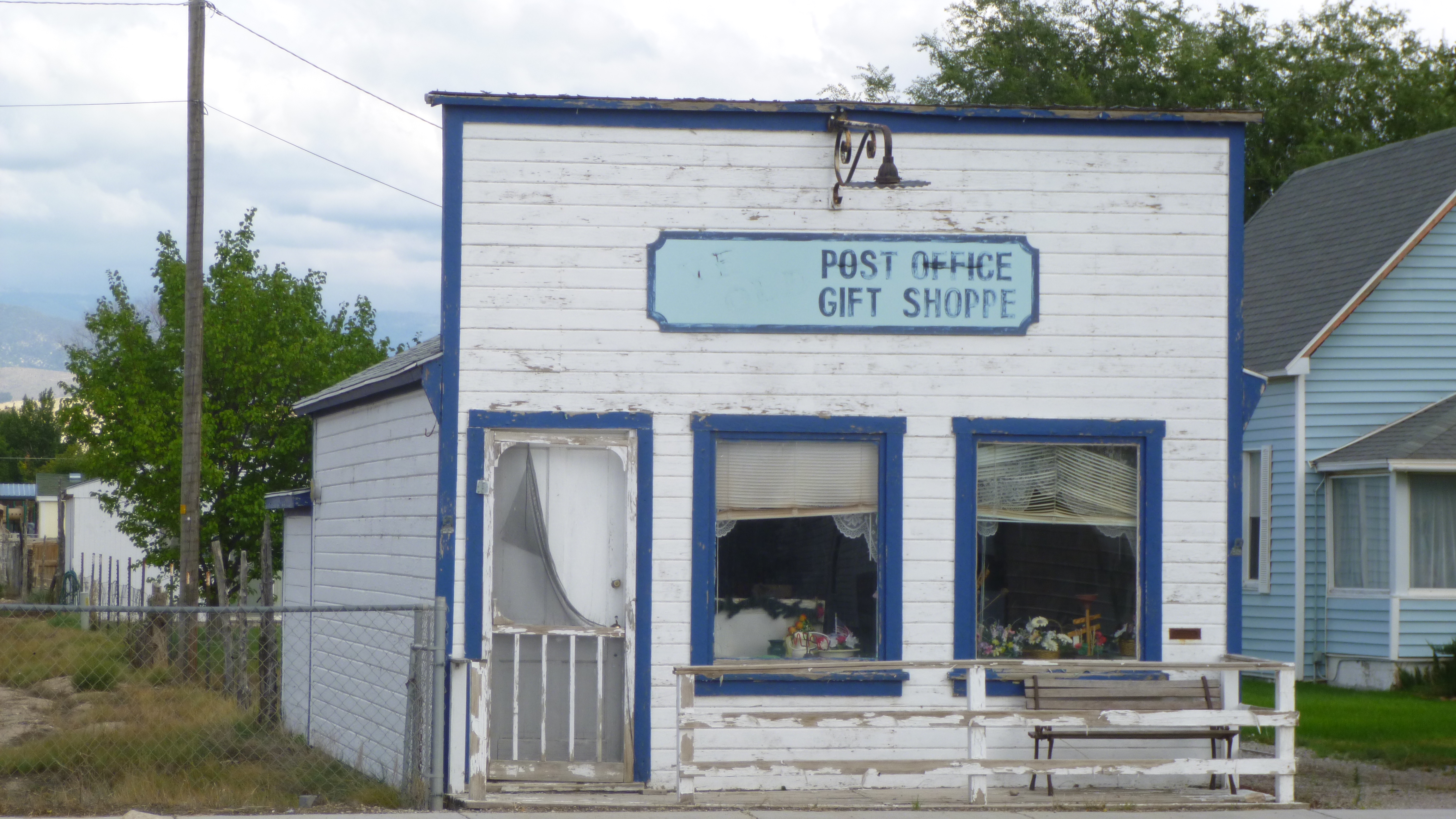
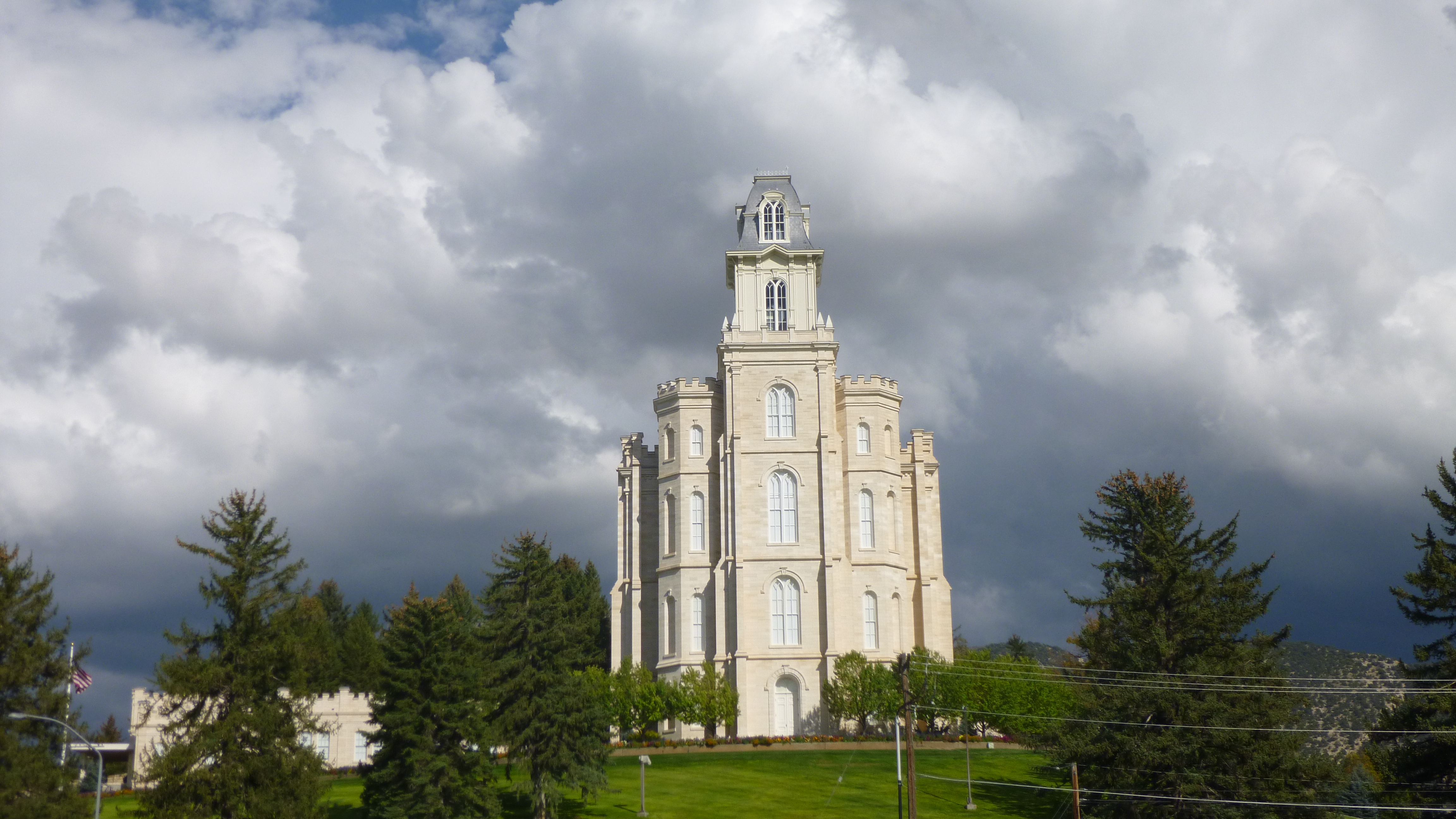
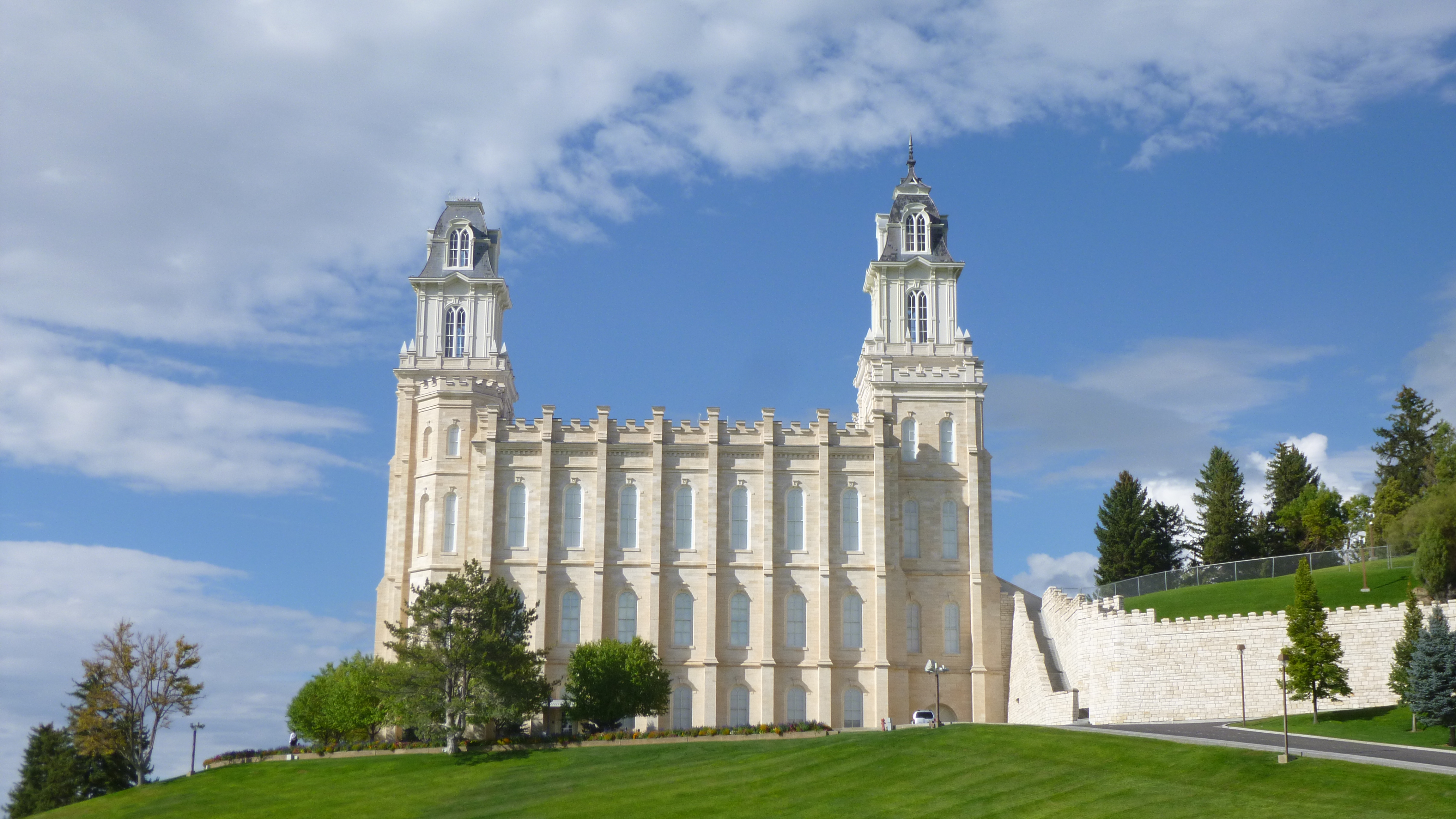
From there I drove on to Centerfield for a bit more walking in the town park, and past some really old storefronts – a combination post office/gift shop, and an old style grocery store. I’m not sure if either are still in business – there wasn’t much activity in town on a Friday afternoon. From there I headed toward the town of Manti, and an enormous Mormon temple dominated the skyline from miles away. Manti was a fun town to walk in – I walked around the temple and its landscaped green grounds – the temple sits high on a hill, and just towers over everything. And the main street in town was interesting and I walked out into some neighborhoods too.
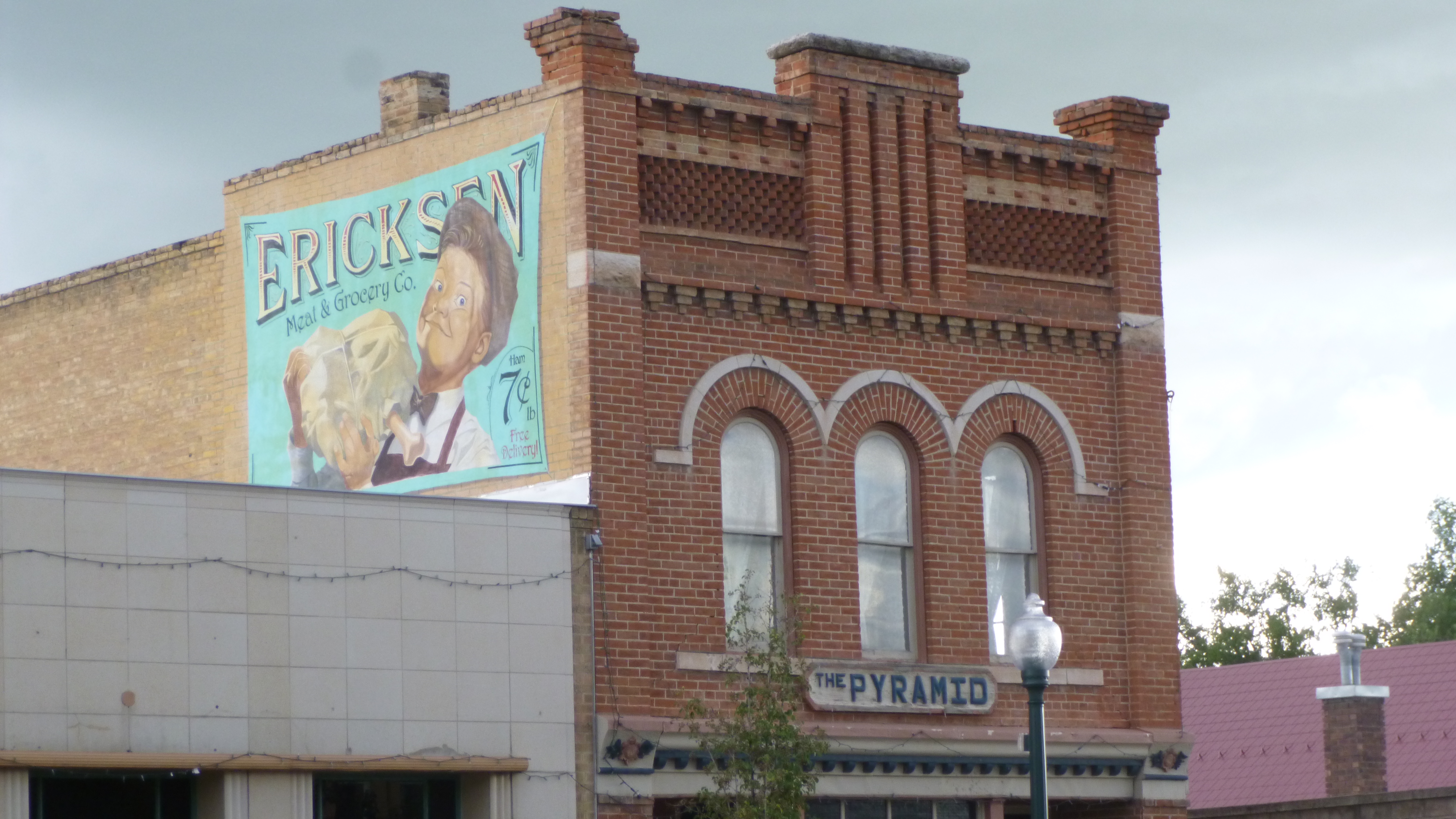
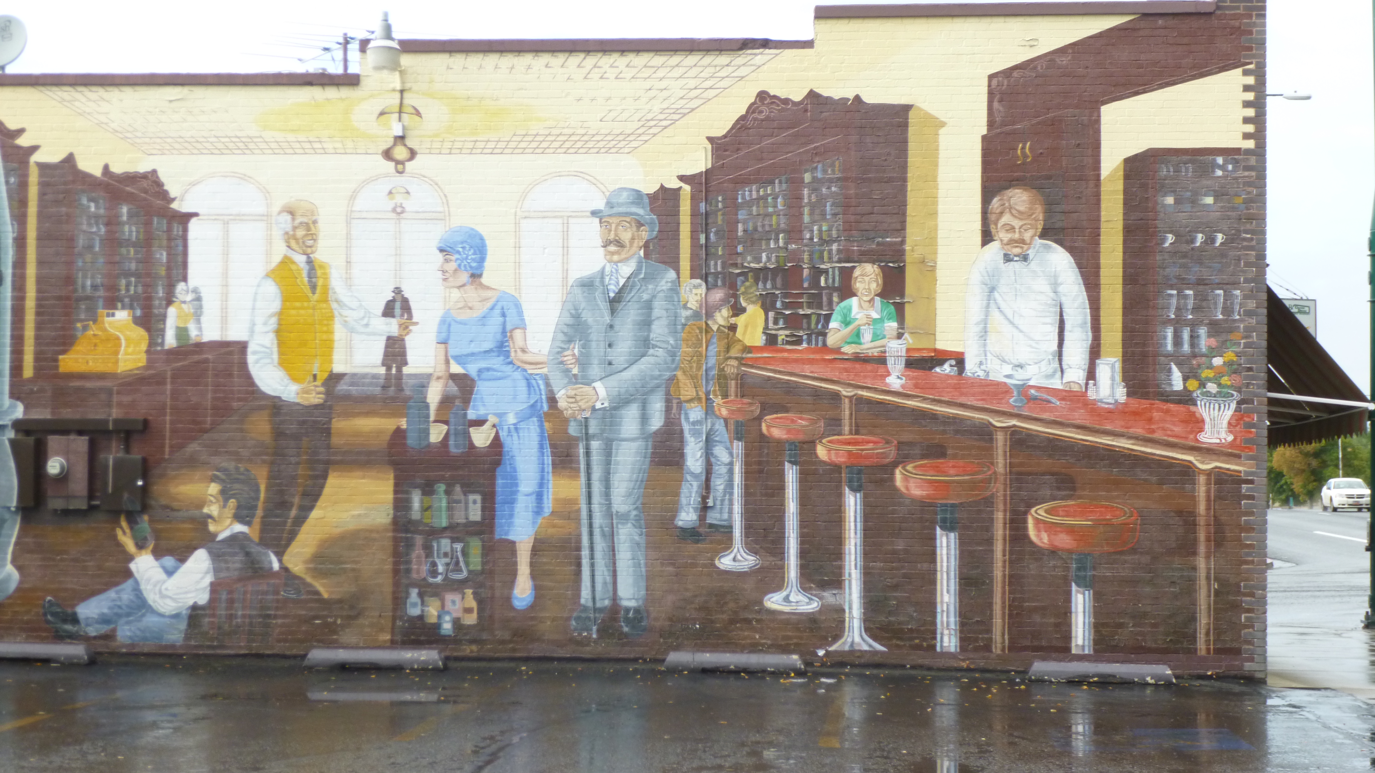
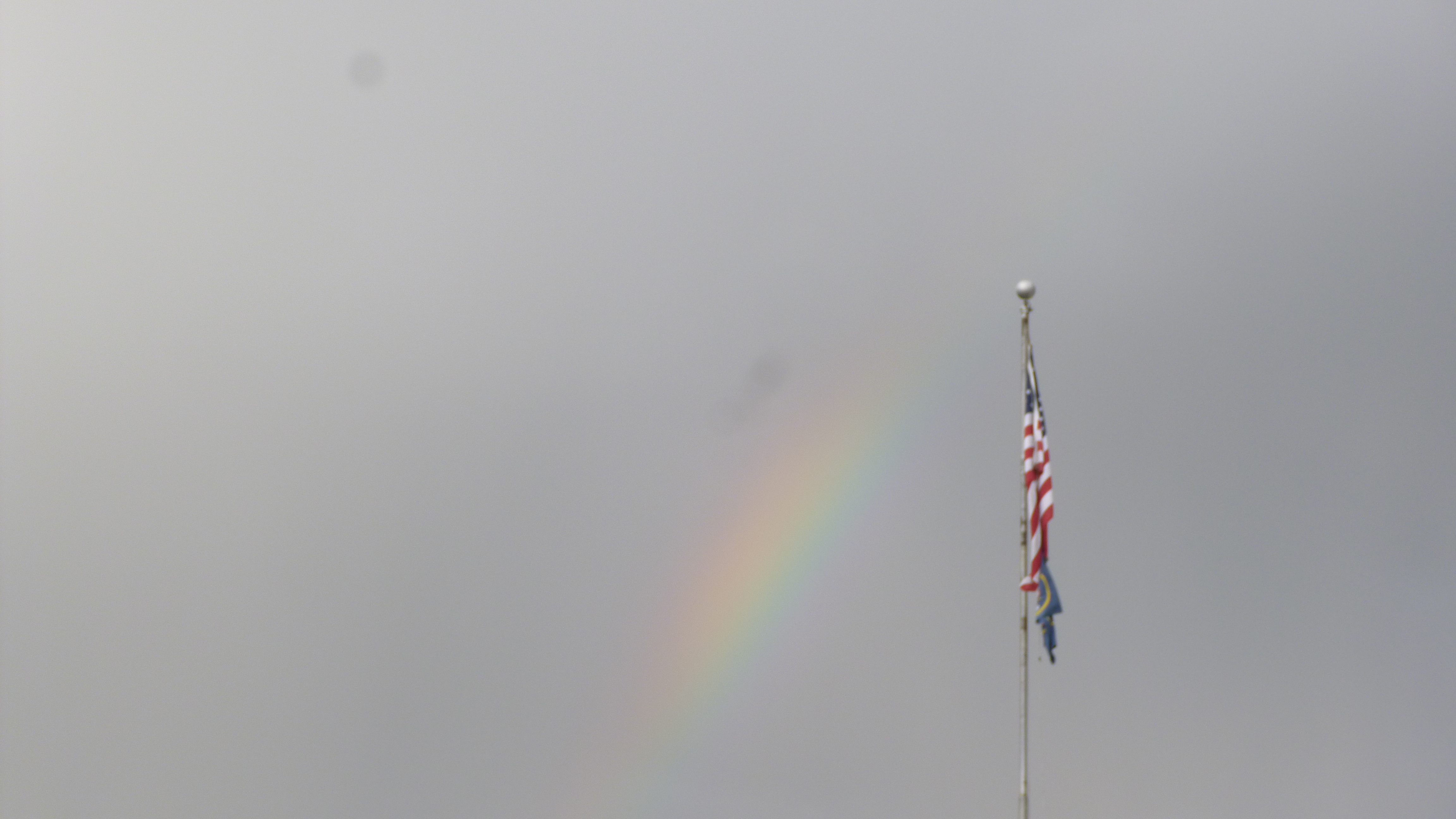
The skies had been kind of gray all day, and it started to rain as I continued to drive north. Mostly I seem to be driving in desert country, with a lot of red rock hills. The next town I stopped in was Mt. Pleasant, and by the then the rain had temporarily let up so Tula and I got out for more walking. Then it started up again, so I put her back in the van, and got my umbrella and simply continued on. I saw another rainbow – I’ve seen quite a few of them on my journey. I like how a lot of these small towns have old advertising signs or murals on the sides of some of the buildings. It was a Friday night, and there was a football game in town – I saw lots of people dressed in the same colors, and some had their faces painted, and there was a festive air in town. I think it might have been their homecoming game. There was an ice cream shop on the corner, so when I was done walking, I got some ice cream, and then got back in the van to drive north to Midvale, a southern suburb of Salt Lake City, where I stopped for the night.


Utah – Thursday, September 12
After a good night’s sleep I stopped by the gas station/cafe/souvenir shop/grocery store to have a big omelet and hash brown breakfast before heading into the Utah desert. In my opinion, Great Basin National Park should be right up there with Yellowstone and Glacier and the other big ones. But, the park doesn’t have a fancy lodge or many amenities since it’s off the beaten path, and perhaps that’s part of what makes this a hidden gem. The motel sort of looks like a couple overly long mobile homes, but we stayed there last time we were at the park, and it has everything one needs! I was really happy to be able to visit the park again.
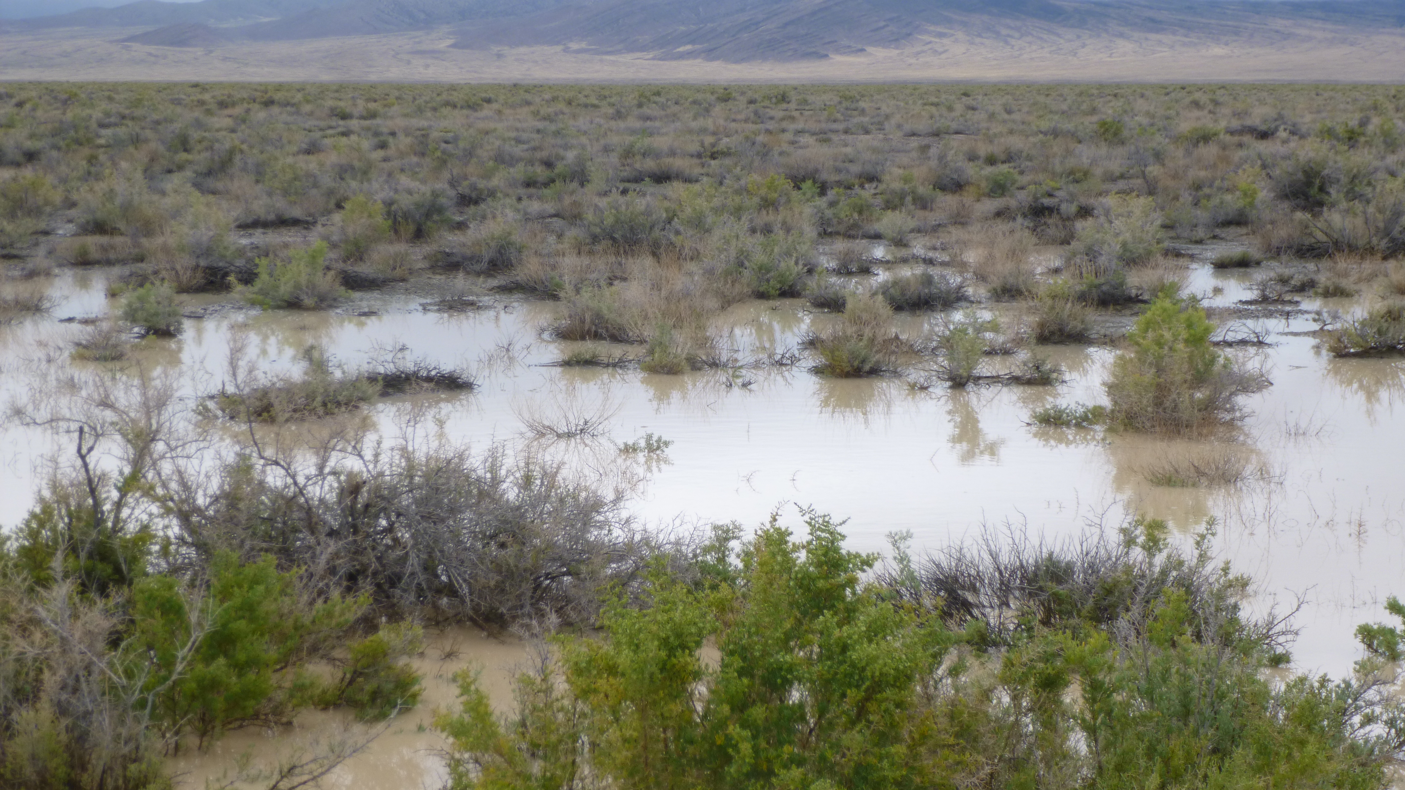
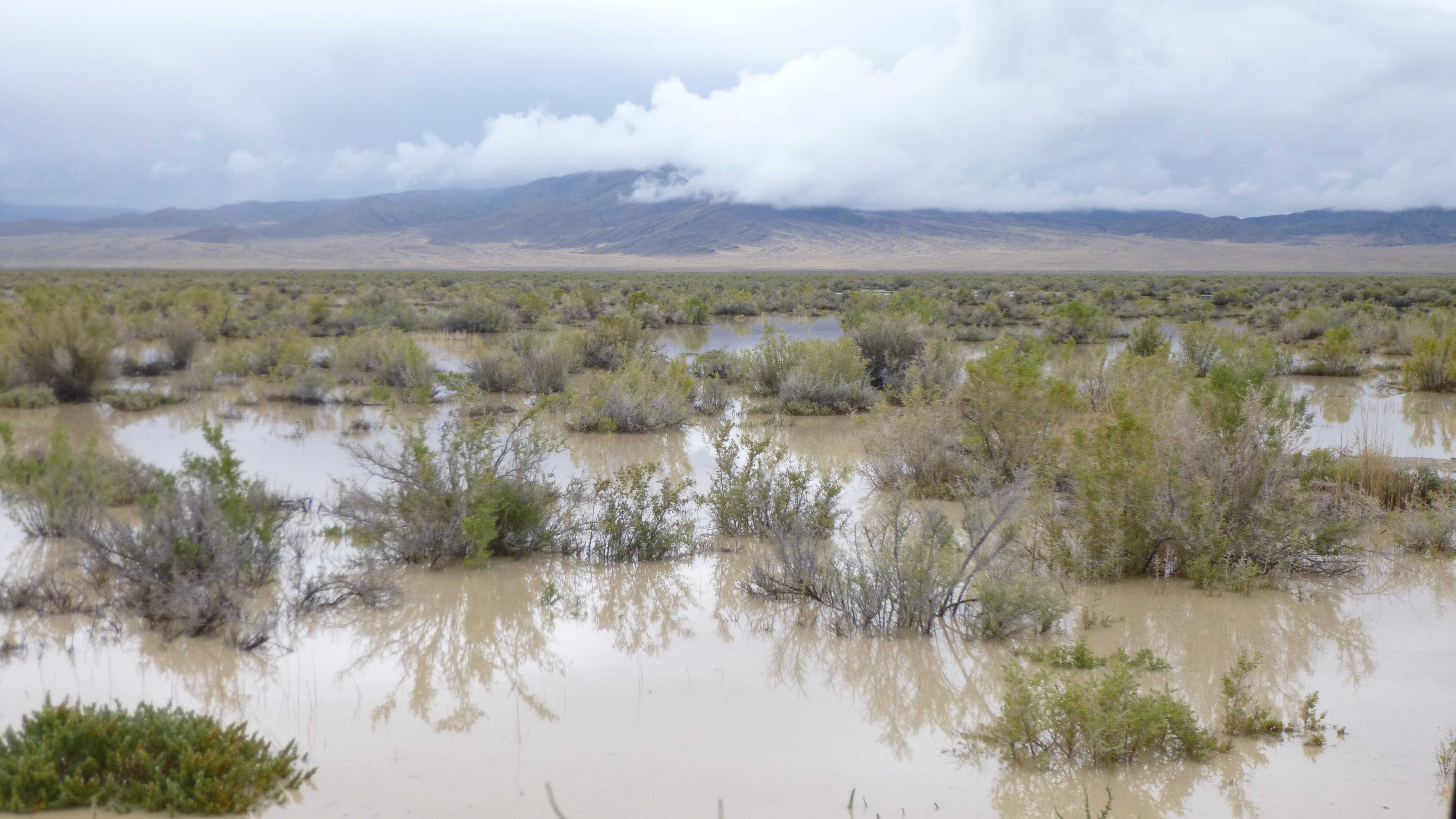
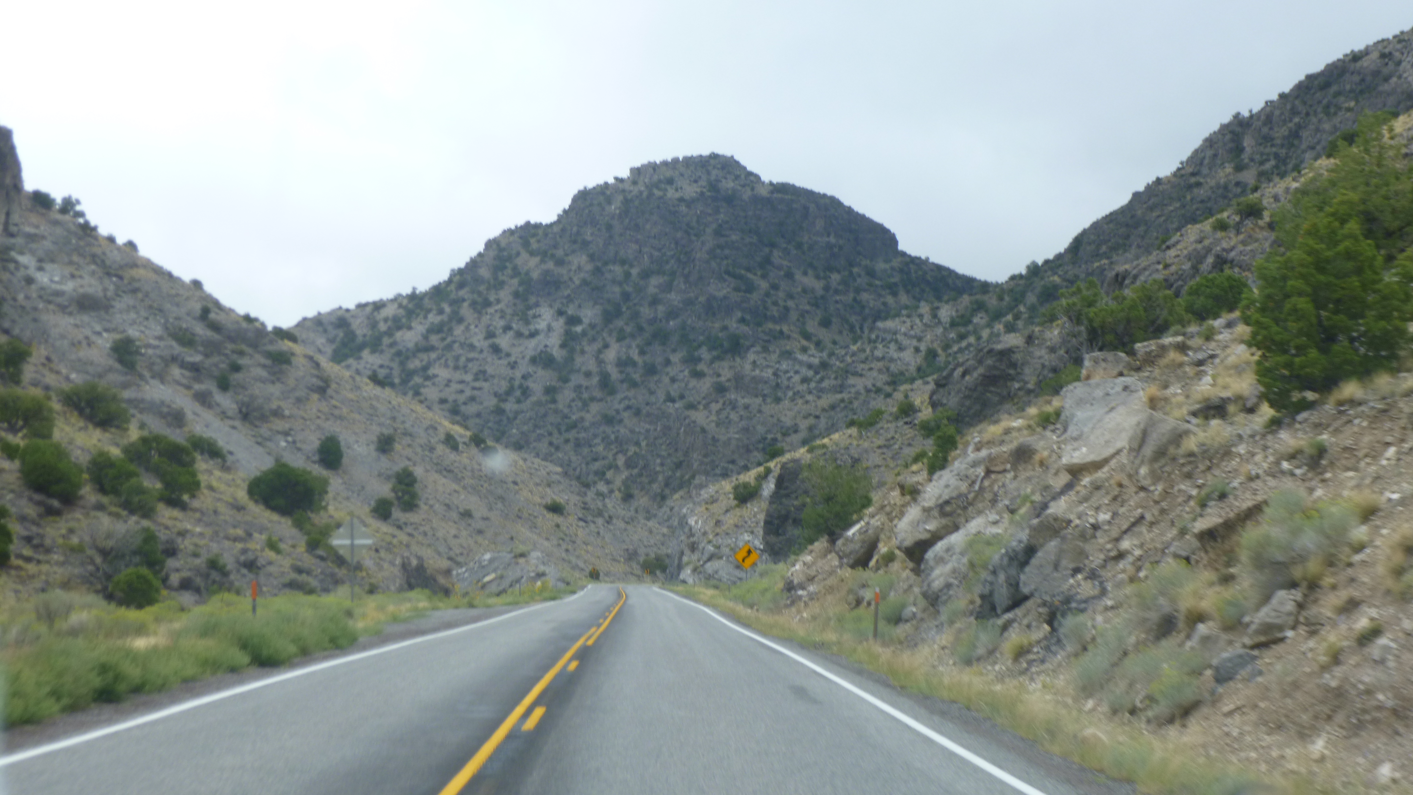
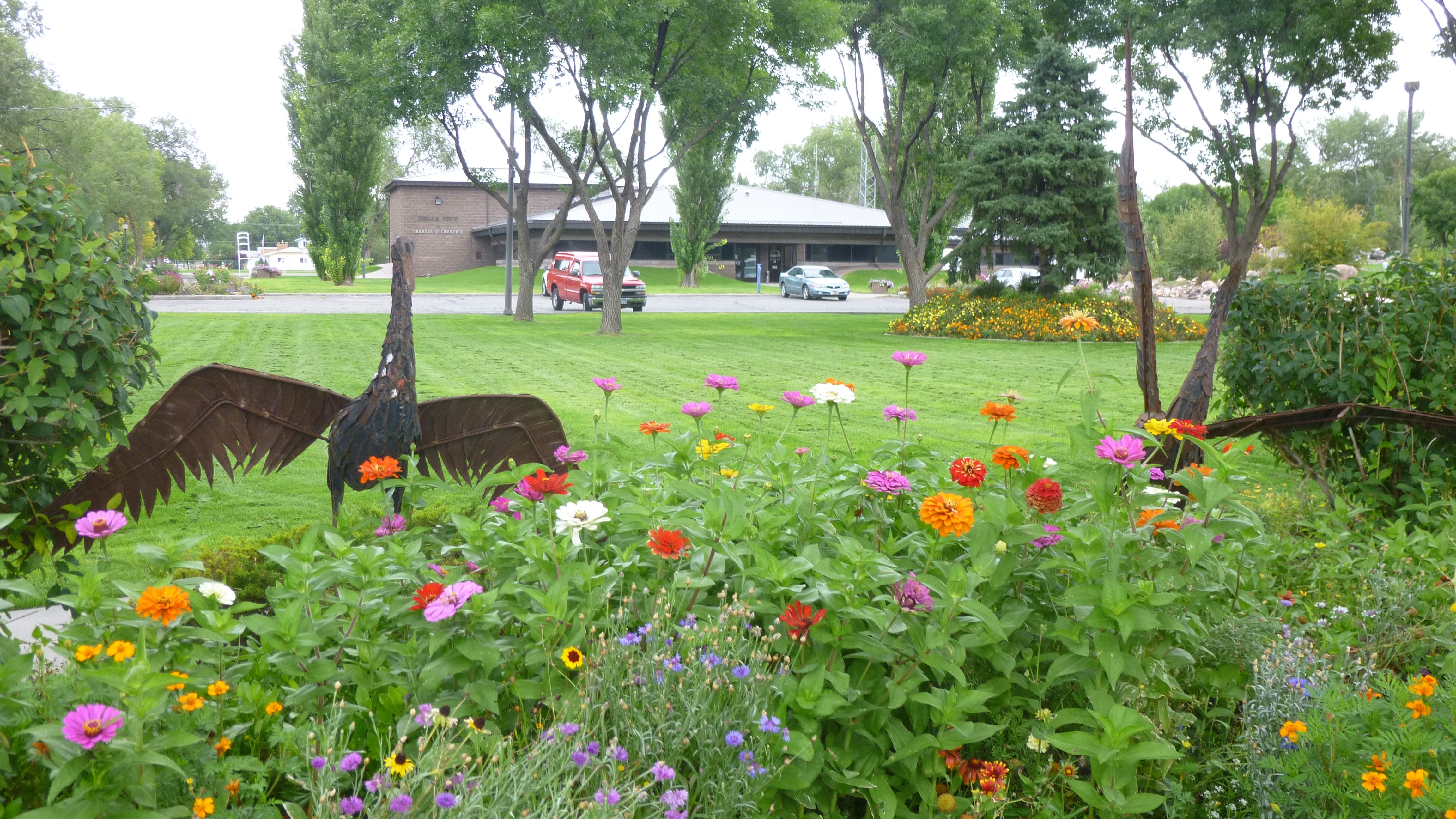
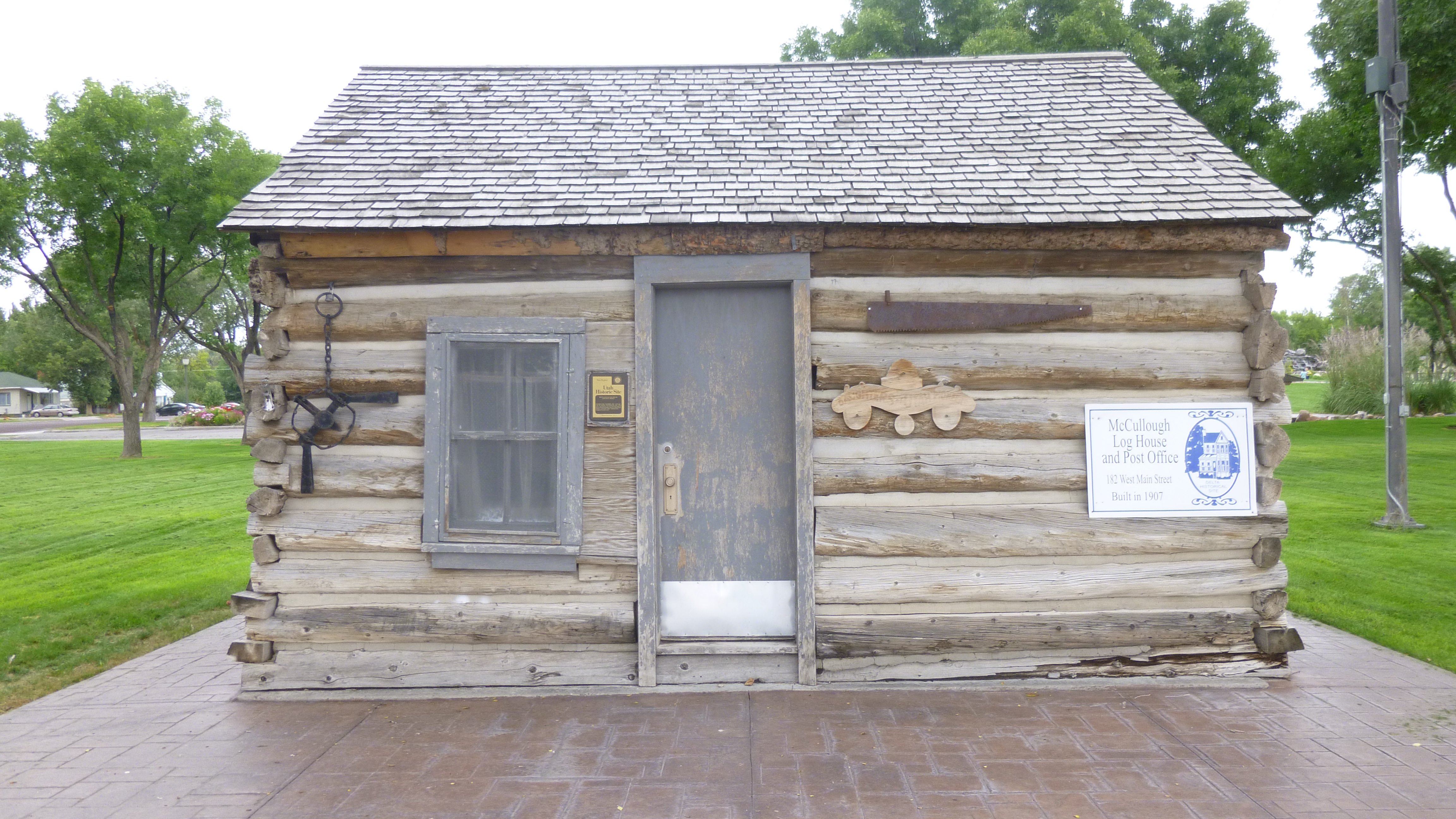
I crossed into Utah and started driving across the desert. They’ve had a lot of rain though, and there had been some flooding, and it looked strange to see so much standing water in the desert. After about 100 miles, I came to the town of Delta, where Tula and I got out for a little walking. Then I drove on to Fillmore and did another couple miles of walking. The town of Fillmore was the capital of Utah when it was a territory, and was named after President Millard Fillmore, and I must say this is the first reference I’ve run across for that former president! Even the library is called the President Millard Fillmore library.
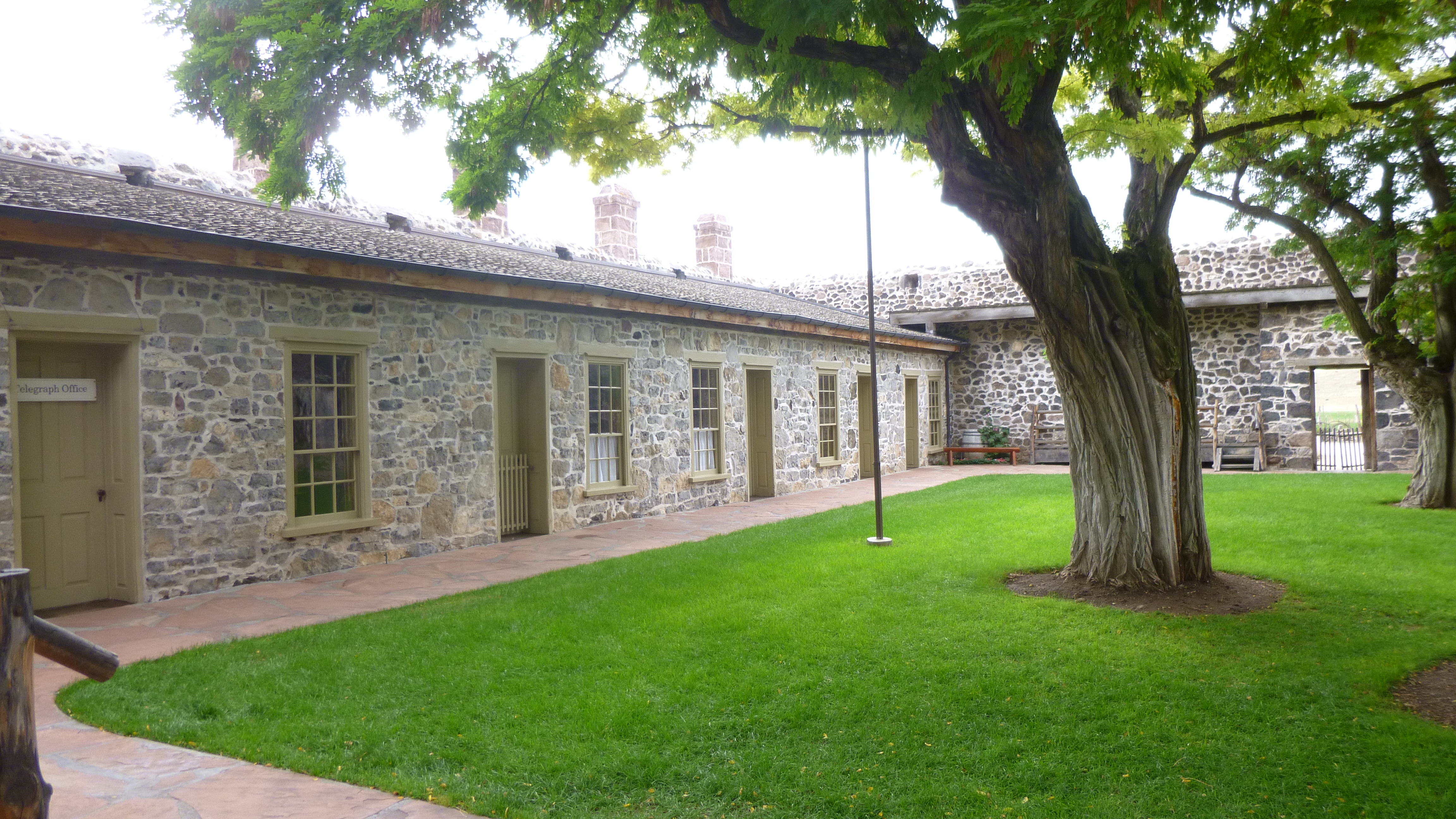
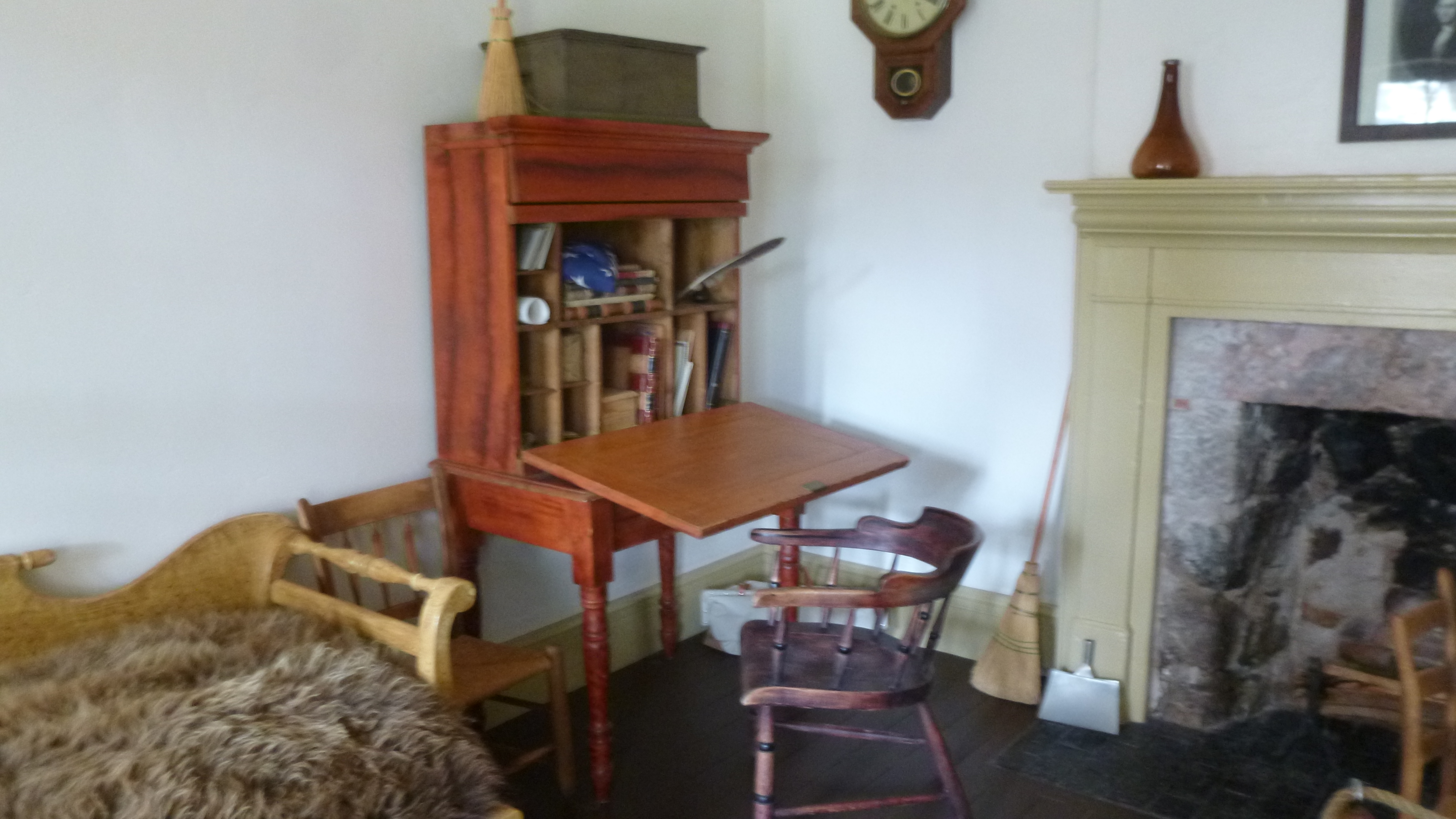
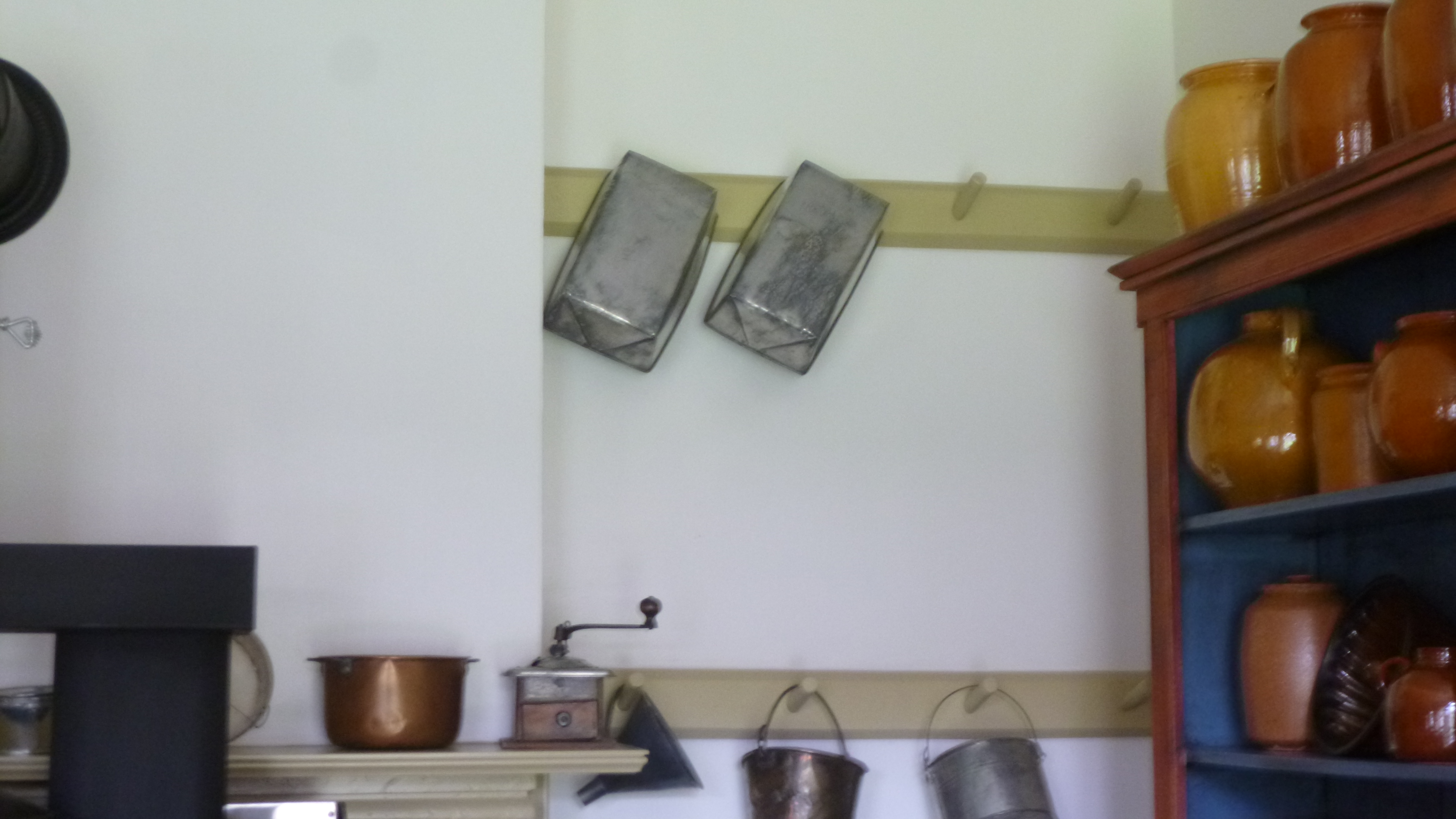
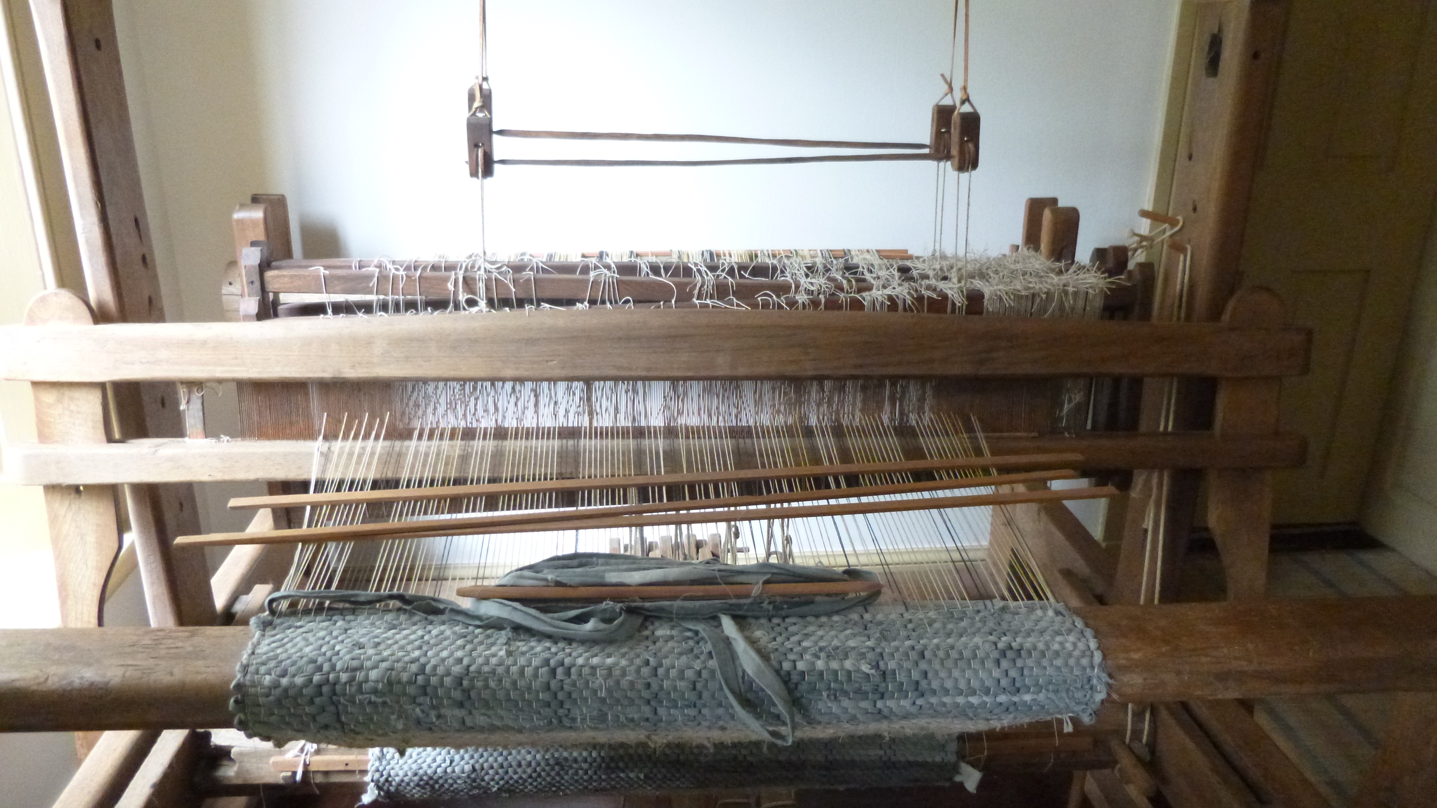
My goal for this evening was the town of Richfield, but I stopped to do some walking in the little historic town of Cove Fort first. This turned out to be a large former Mormon fort, and there were missionaries to give tours of the fort, and it was an interesting stop. It was a big fort (a big family lived in it) and there were often visitors, so there were a lot of rooms in the fort. Visitors passing through could pay 50 cents to share a bed with someone (often a total stranger!) and the kitchen was always a busy place. The Mormons baked bread in 5 pound bread pans and they had a nice kitchen garden. They were very thrifty and recycled as much as they could – for example, when the blue and white striped mattress fabric wore out, it was ripped into strips to be woven into rugs; and when the rugs started to wear out they were burned and the ashes were mixed with water to make lye for soap. They also stained some of their hand-built furniture to look like cherry wood – starting with a coat of ox blood, and followed with a coat of buttermilk to reduce the smell of the ox blood. The Mormons also spun their own wool from the sheep. The resulting yarn had to be wound into skeins, and they had a yarn spinner, also called a weasel, to help with the task. The yarn had to be wound around the spinner 30 times, and instead of counting to 30, the spinner made a popping noise when enough yarn had been wound for a skein. This is also thought to be the origin of the child’s nursery rhyme Pop Goes the Weasel (although I don’t know how the mulberry bush and monkey fit in!).
As I was driving through Utah, I noticed all the street signs had a beehive shape on them, and Utah is called the Beehive State. I thought they must make a lot of honey in Utah, but my guide at the fort told me the symbol stands for industry and working together – not a bad motto for a state!
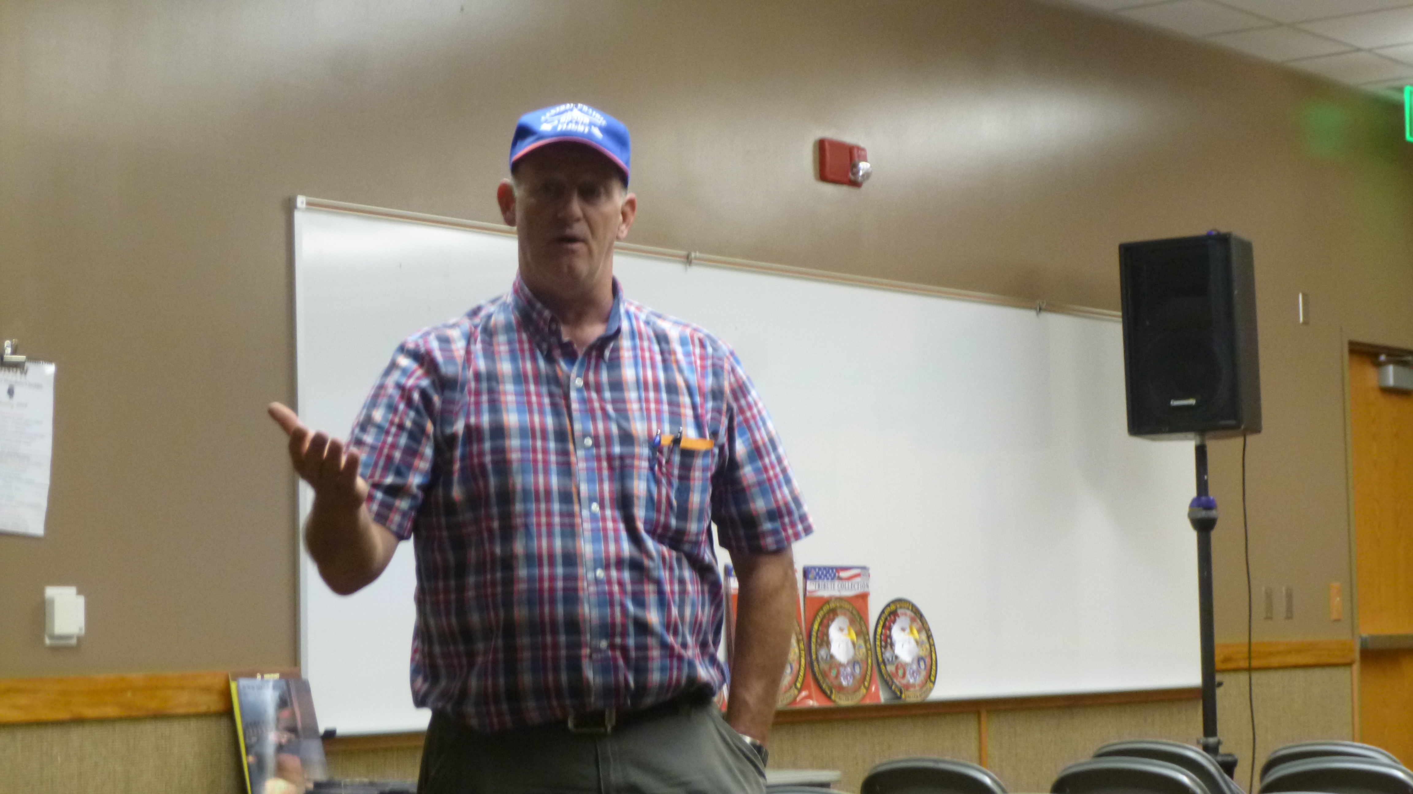
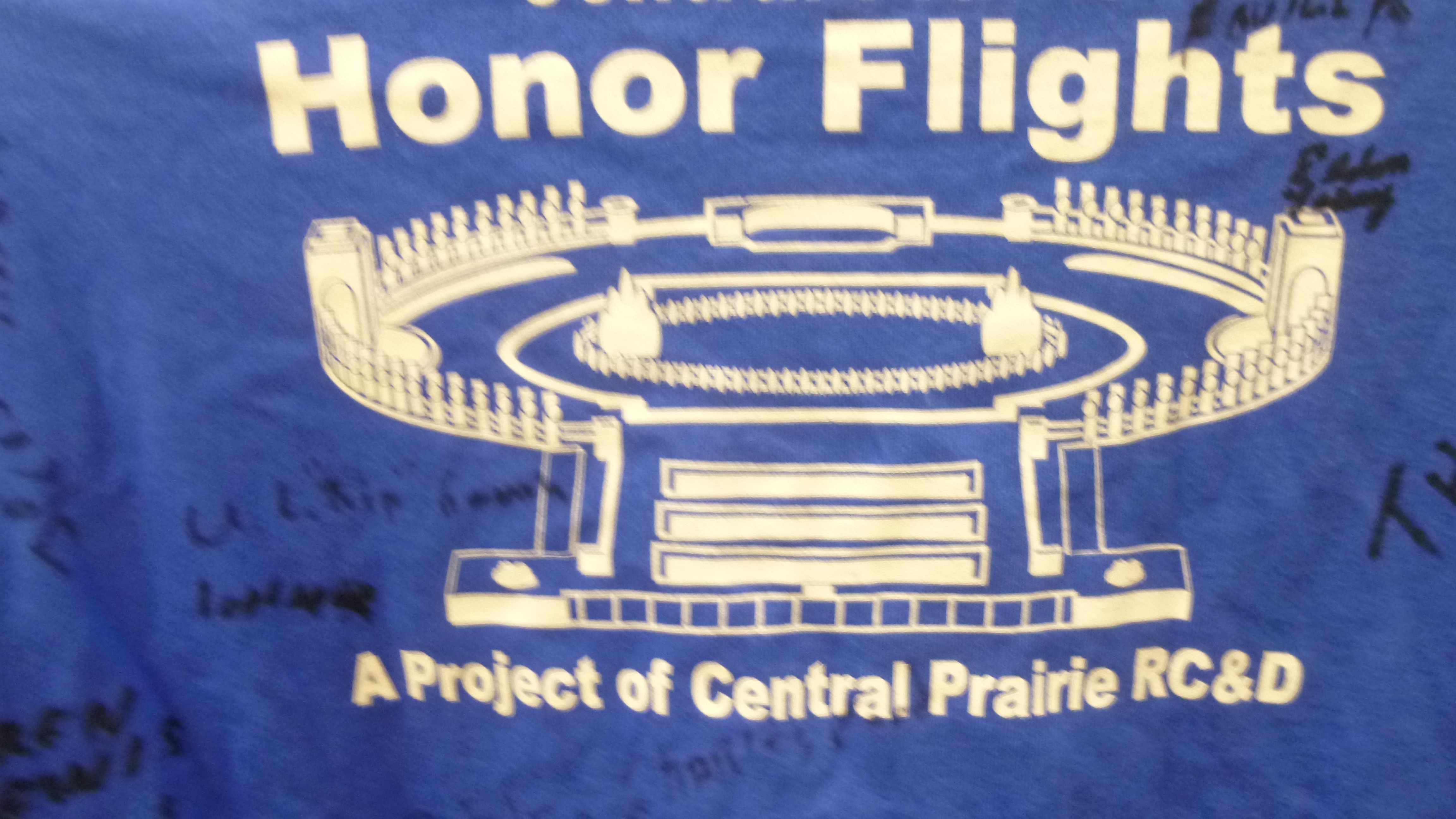
Then I drove on to the town of Richfield where I was going to stop by an informational meeting about establishing an Honor Flight hub in Utah to help transport veterans to Washington DC to see their memorials. I wanted to make a donation to the Honor Flight – I like this organization, especially after seeing the impact that the Mobile Vietnam Memorial had on the people back in Oregon. I hadn’t really planned on staying for the actual meeting, but I got to talking with Dan, Erica and Kay, who were organizing the event, and decided to stay. Dan has led numerous trips to Washington DC with the veterans, and he talked about the logistics of working with large groups of older veterans, and about the sights they see and how meaningful the trips are for the vets. There was also a slide presentation. The trips that he offers are 3 and 4 day trips including flying – they try not to tire everyone out too much. The trips are always completely free for veterans, and if they need a guardian/companion to accompany them, the guardian has to pay their own way. They have an ambitious goal of raising enough money by October to get some matching funds, and hope to take the first trip out later in October. Right now WWII vets get first priority on the trips, then the Korean veterans and then the Vietnam veterans. I was happy to get there in time to make a donation to them, and to hear more about the trips.
The meeting took a while, and the sun set while I was inside. But there was still a little light, and I was lucky to find a bike trail right by the parking lot and the community baseball/soccer fields (all of which were being used), and Tula and I set off for a couple more miles of walking before it was totally dark.
Nevada – Wednesday, September 11
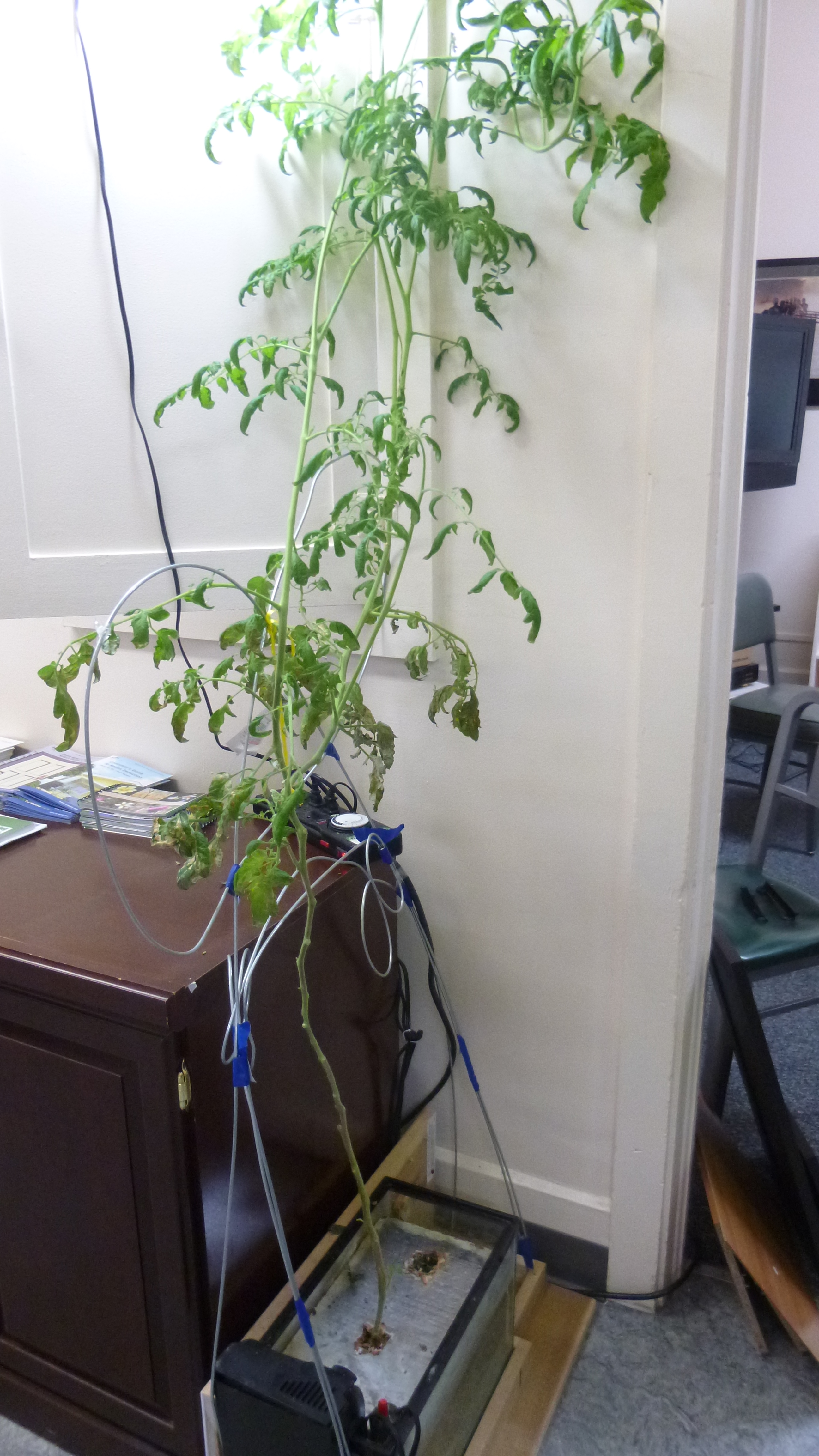
I woke up to a very rainy, foggy morning, which was a disappointment because I was going to be heading for one of my favorite national parks later in the day. I figured I had saved one of the best parts of Nevada for last, and now the weather may not cooperate. I had hopes it would clear up. In the meantime, I headed out in the rain to the Ely Food Pantry to make a donation to the hydroponic program. I had called the food pantry last Saturday, but didn’t get an answer because it wasn’t during normal business hours. But a few hours later the director called back, even though I didn’t leave a message, and I explained what I was doing. He told me a little about the food pantry, and a lot about a new program they’re trying to get underway, which involves educating schoolkids about farming and hydroponic gardening, which is a means of growing plants without soil. They’re grown in some kind of water/nutrient mixture in a glass aquarium instead. They have a big tomato plant which is growing in this liquid mixture, and they take it into schools to talk about this new way of farming. Ultimately their goal is to be able to do more hydroponic gardening, and donate the produce to the food pantry, while also educating a new generation of kids about farming in general, and hydroponic gardening in particular. It’s a very interesting concept, and I told the director I would be happy to stop by and make my donation in a couple days when I was driving through Ely. He told me he would be at a conference for a few days, but one of the lab people would be there, and that’s who I met today when I did finally stop by. I walked through the food pantry area to get to the office I needed, and met the lab person who showed me their hydroponic tomato plant, and I wish them well in obtaining the grants they need to expand their program.
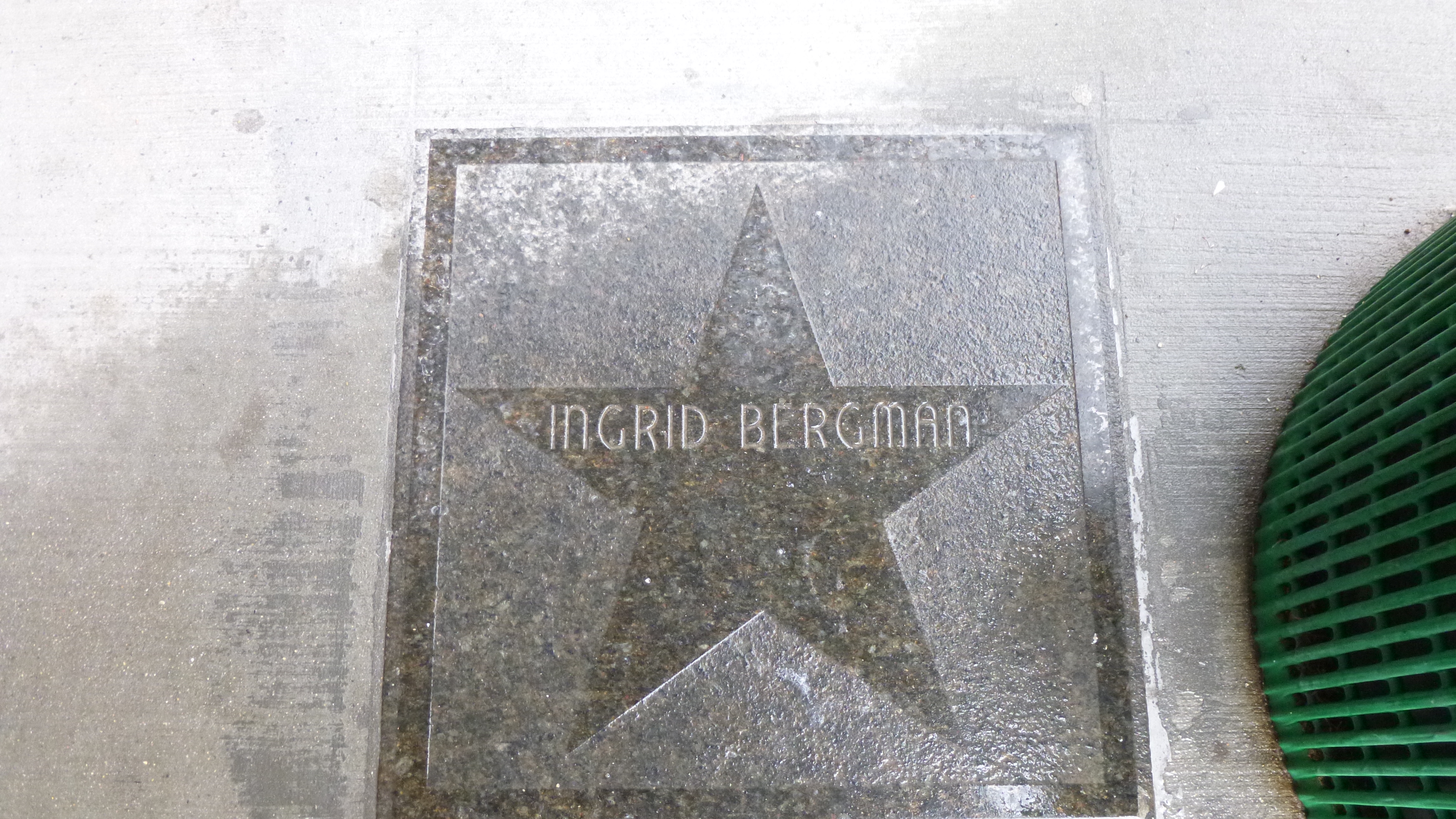
The rain had let up a bit, and Tula and I got out to walk a mile around Ely – everything was still really wet! Ely is another old mining town, and it apparently has its own Walk of Fame with gold stars embedded in the sidewalk to honor the famous people who have visited the town. There were stars for Wayne Newton, Pat Nixon, Ingrid Bergman and President Lyndon Johnson among others – quite a mix of celebrities! I got the last stamp for my loneliest highway passport in Ely, then headed off toward Great Basin National Park. It took a little while to get there, and I stopped at the visitor center to refresh my memory where the trails were in the park. It was drizzly and gray, but I was determined to take the hike back to see the grove of bristlecone pine trees, which are some of the oldest living things on earth. To get to the trailhead, I had to drive up the side of a mountain on a scenic road. We climbed and climbed, passing 8000 feet in elevation, then 9000, and up past 10,500. By this time I was in fog, or maybe the low-lying clouds, but I got to the parking lot for the trailhead, and set out to see the bristlecone pines. It was about a 3 1/4 mile round trip, mostly uphill through rocks on the way up, and it was drizzling – it was chilly up there, and I was wearing a fleece and a rain jacket and a hat, which also doubled as protection for my camera when I was taking pictures. There were a few people out on the trails besides me, and I took it kind of slow since rocks can be slippery in the rain. Despite the weather, I thought it was beautiful on the mountain in a misty, dreamy sort of way.
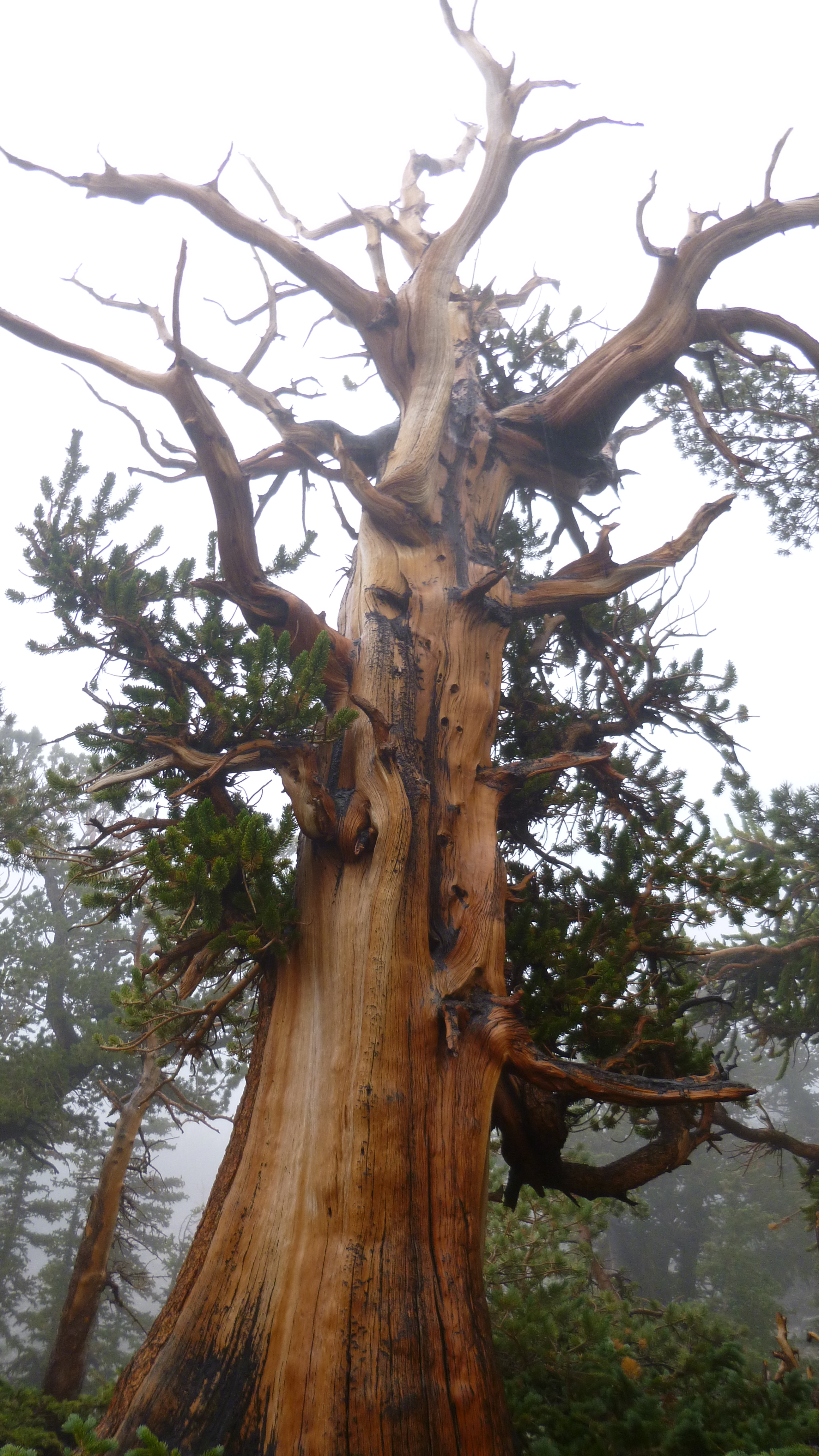
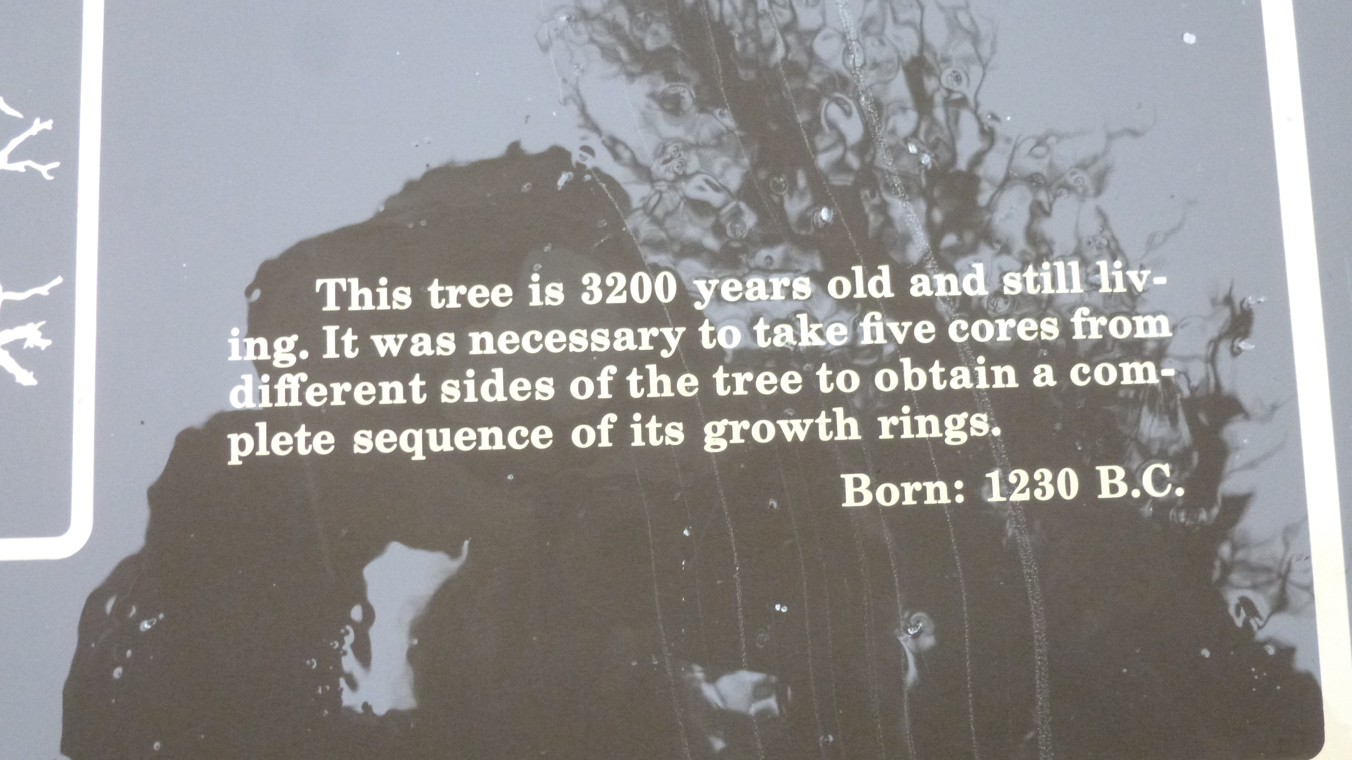
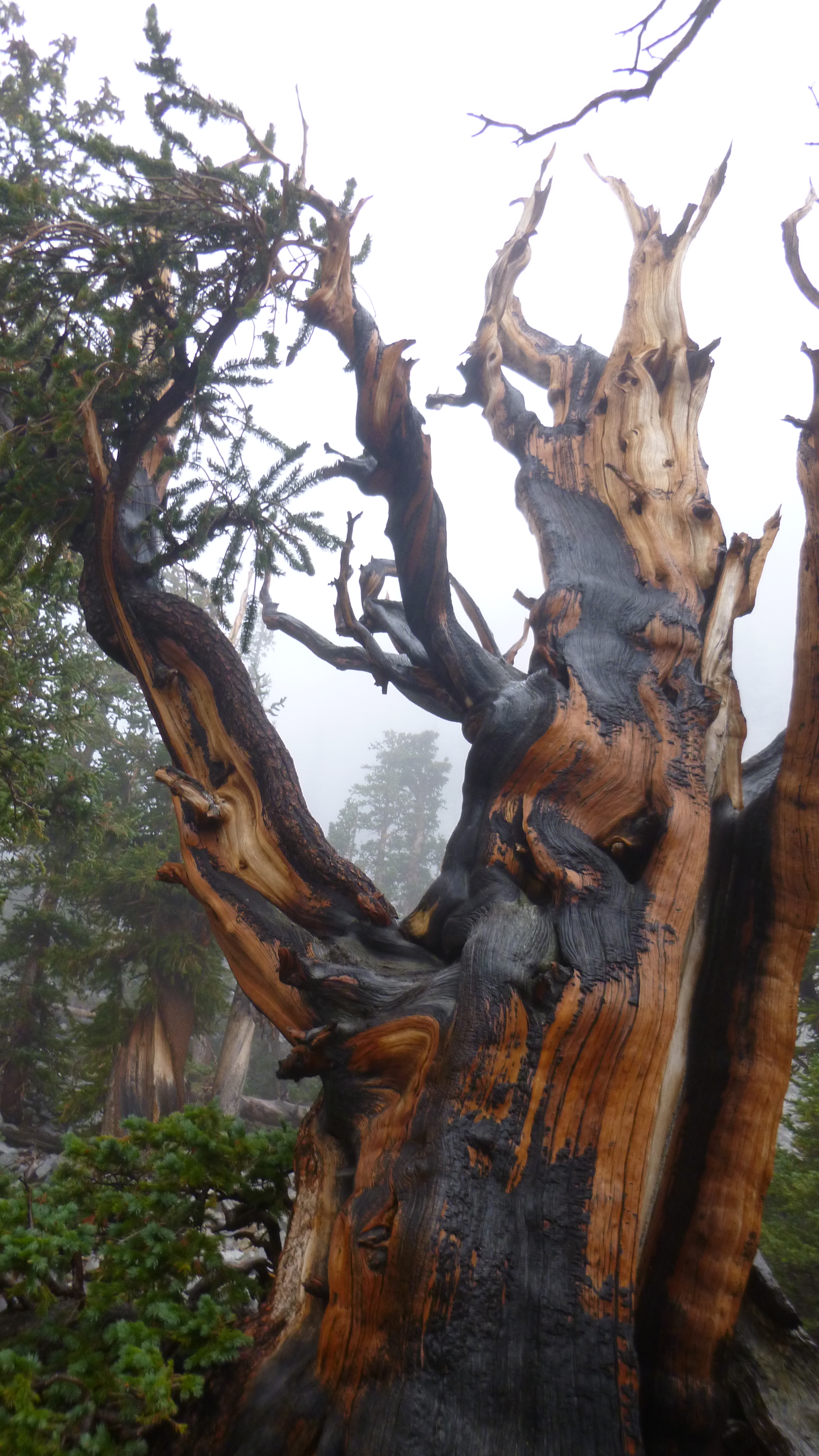
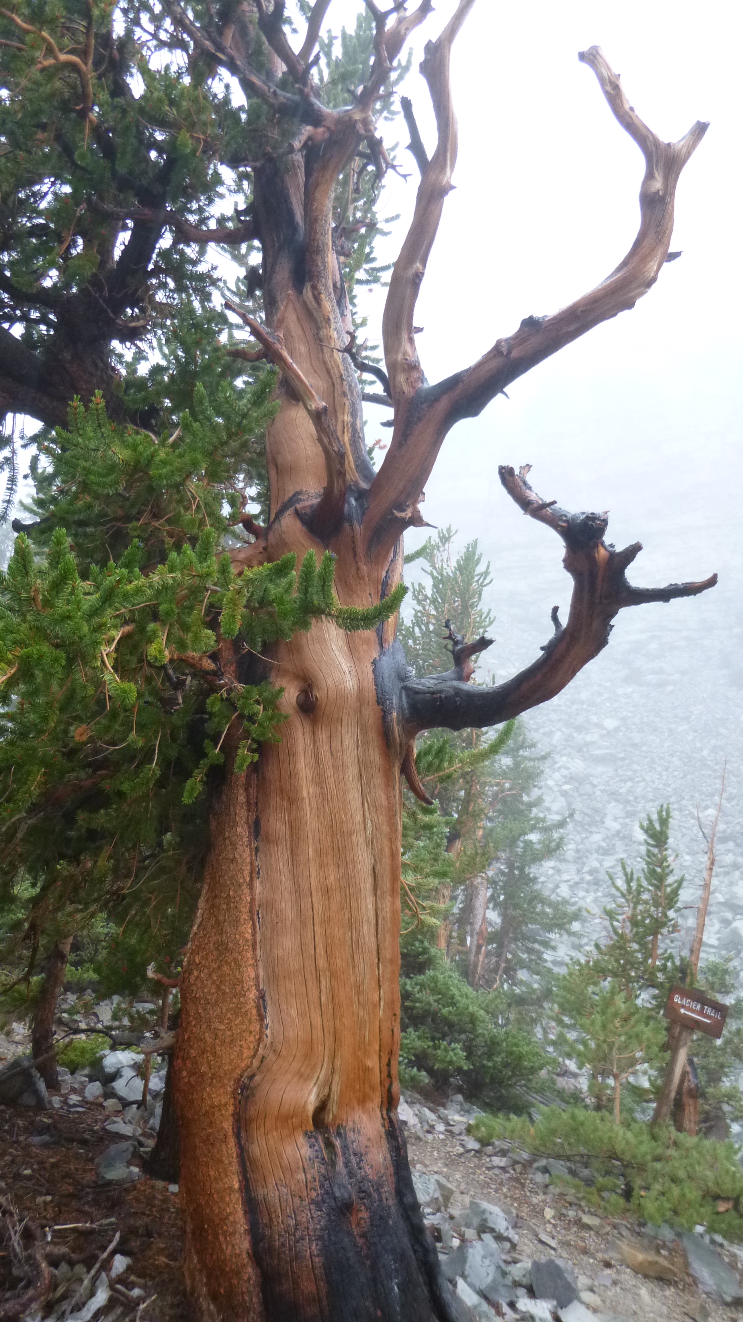
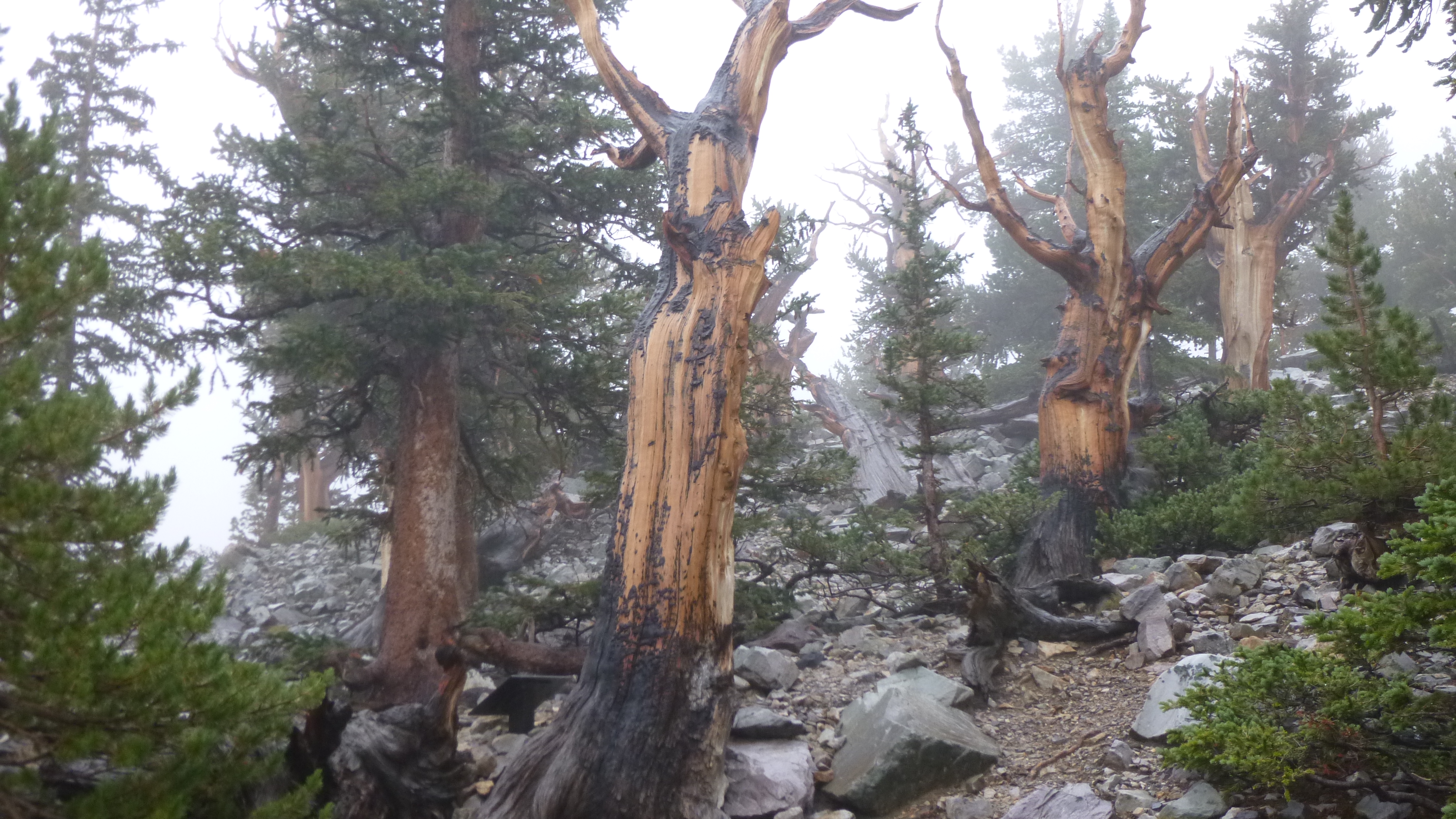
I hiked up to the bristlecone grove, and the ancient old trees fascinated me. Bristlecone pines are the oldest living things on earth, and they can get up to 5000 years old. The oldest one at Great Basin is 3200 years old, and was “born” in 1230 B.C. I could hardly comprehend the fact that I was gazing at a living thing that was thousands of years old. Most of the bristlecones appear to be half dead – and I suppose that’s part of the reason they’ve survived for so long. The green living part of the trees looks very healthy – and they clearly like the altitude and rocks and soil and all. The bark on some of the trees makes them look as though they were charred in a fire, and I don’t know if that’s the case, or if the black parts are signs of age. It was raining while I was wandering around the grove looking at all the trees, and I had to use my hat to shield my camera when I was taking pictures.
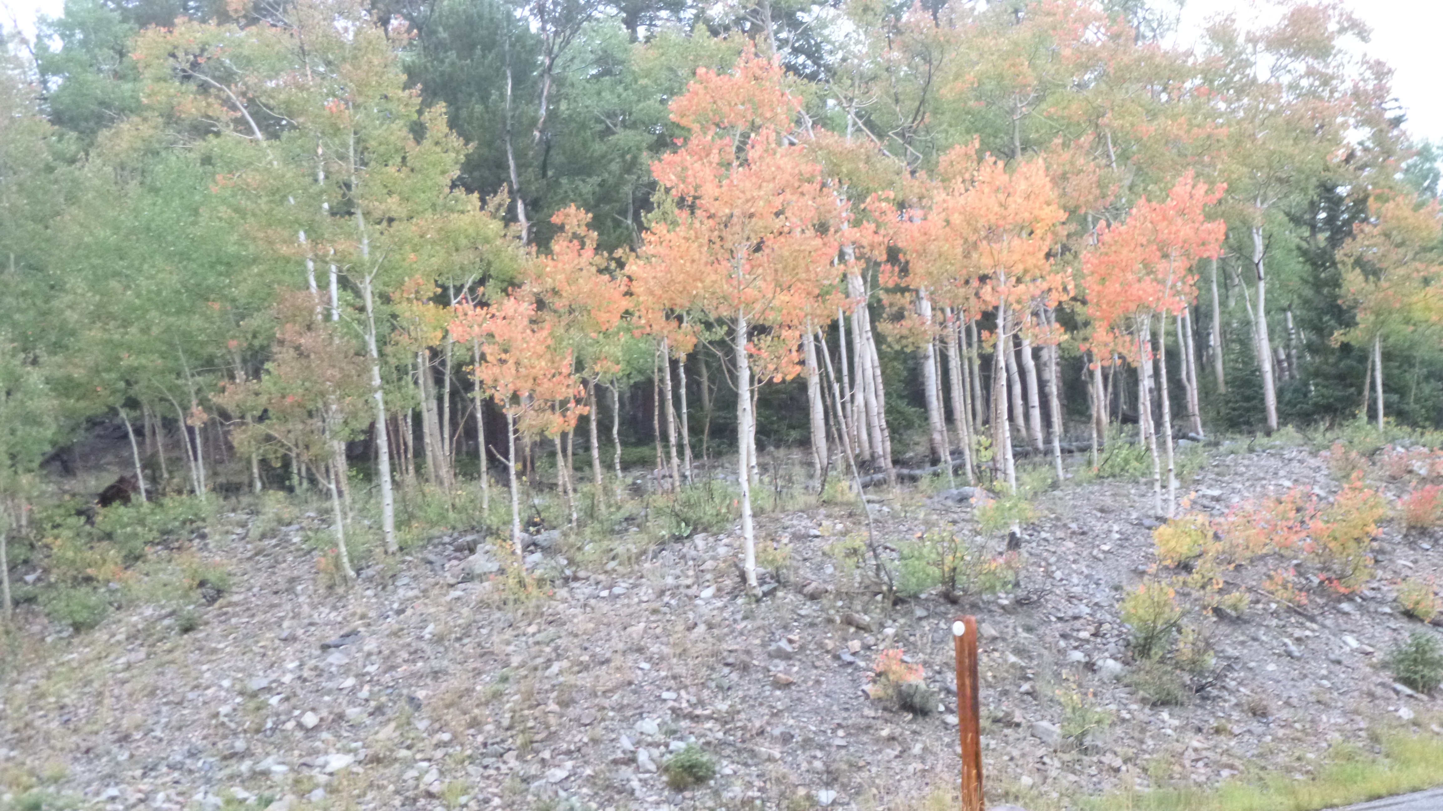
After I had spent quite a bit of time up there (also a good place to reflect on the anniversry of 9-11), I started up the steep trail to see the glacier (yes, a glacier in Nevada!), but I didn’t get very far before turning around. The path was over loose rocks, and it was steep, and with the rain making everything a little slippery, I decided to use good sense and turn around. I walked the mile and a half back to the van, and was feeling pretty soggy when I got back. I was relieved I hadn’t pushed on any farther. At this time, I knew I also had to get Tula out for a short walk, even though it was raining, so I got my umbrella (which I didn’t want on the other hike with all the trees) and Tula and I walked all through the campground that was up high on the mountain. Only 2 campsites were being used, and I felt a little bad for them trying to set up everything under tarps – it was cold up there too. We went farther than I meant to – it was pretty walking through the woods, so I more than finished my Nevada miles, but Tula got pretty wet. I had a stack of towels to dry her off a bit when we got back, and I was happy to get my wet jackets off. At that elevation, the leaves are already changing color, and I passed some trees with bright red leaves. I started the drive back down the mountain, and as we got lower, I came out of the clouds and then the rain slowed down to a trickle. I saw a couple deer and a family of wild turkeys – 2 adults and a handful of young ones. I saw a couple more campgrounds after descending a few thousand feet, and I decided to take a look at them since it was beginning to get dark. The first campground was full (people seem to prefer the lower elevation campgrounds!) but I found a good campsite at the next one I went through. I paid for my site, then drove the rest of the way down the mountain for some ice and jam so I could have a peanut butter and jelly sandwich, which sounded really good. I got back to my site right as the daylight was almost gone, and got everything set up. I got into warm, dry clothes and enjoyed my sandwiches and with my sleeping bag, quilt and pillows I was so warm and cozy I fell asleep way earlier than usual. I heard it raining again during the night, but I like listening to the rain in the van.
Great Basin National Park is right on the Nevada/Utah border, and my time in Nevada is finished. I walked more than 56 miles, and made all 7 donations – Three Square Food Bank; Helping Hands; Safe Embrace; Boys and Girls Club; Food for Thought; Veteran’s Guesthouse; and Ely Foodbank. I was ready to cross into Utah first thing in the morning!


Nevada – Tuesday, September 10
Back in the mid-80s, Life Magazine was doing a travel review, and called Highway 50 through central Nevada “the loneliest road in America.” The few towns along the route didn’t much care for the description, so they decided to do something about it. In an effort to promote the towns along the route, a Loneliest Road passport was created and if visitors got a stamp from each of the 5 towns along the central Nevada part of Highway 50, the detachable postcard could be mailed in to receive a certificate and a couple other goodies. The drive across Nevada can be desolate, but pretty – it crosses desert territory and a couple dry mountain ranges. But there’s good stuff to see along the way…
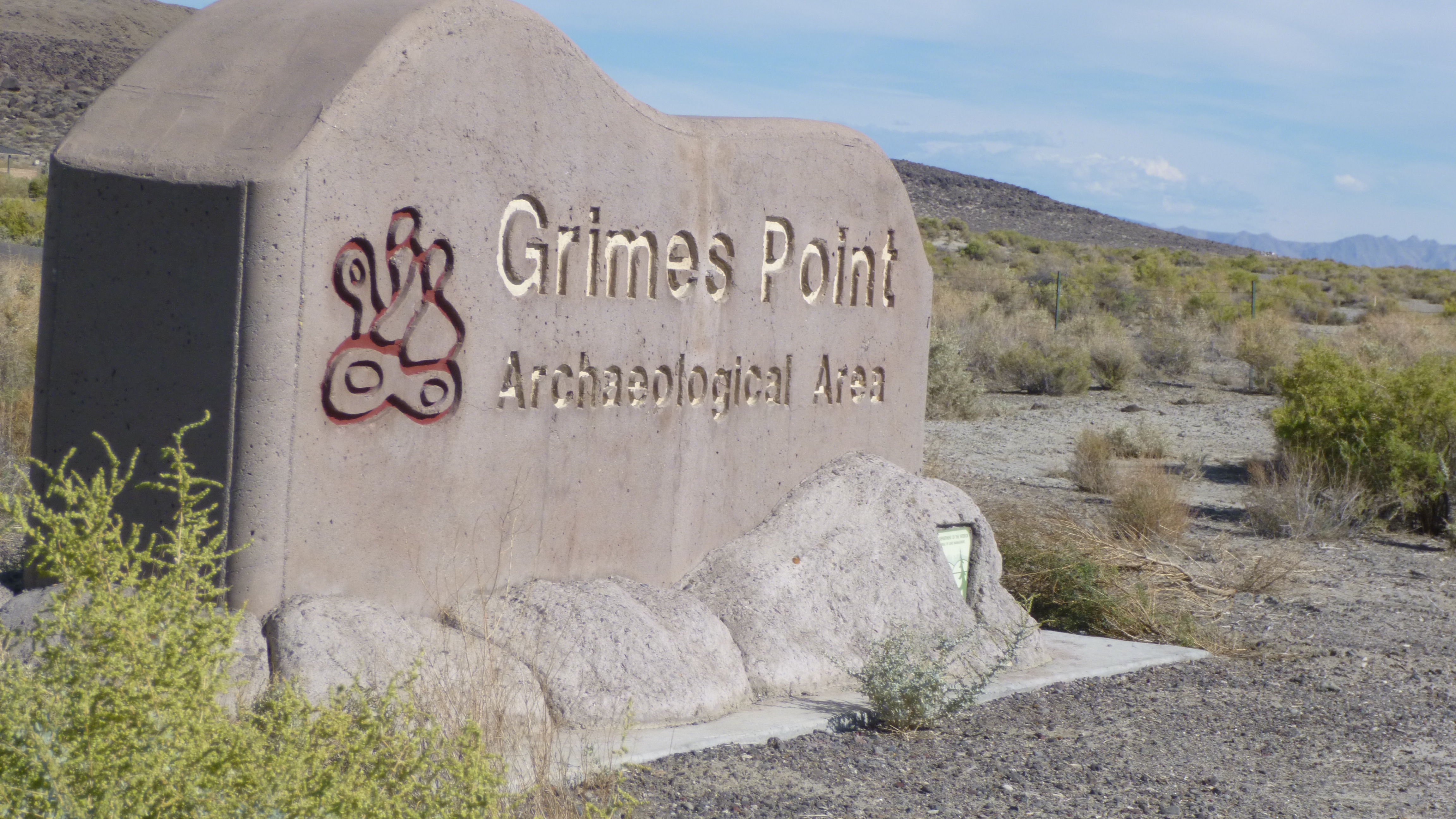
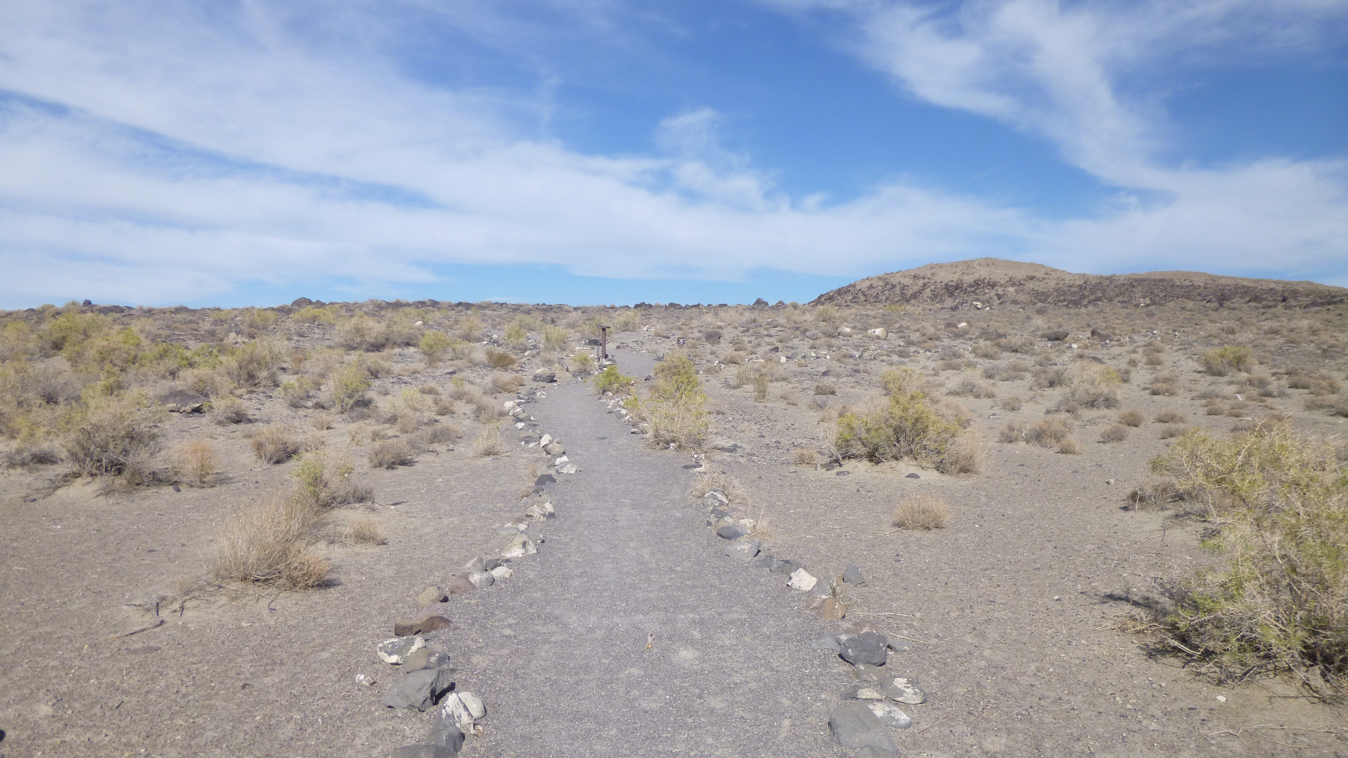
From west to east, the first town to get a passport stamp in is Fernley. I was supposed to be able to get the passport book at the Chamber of Commerce, but they were closed. So Tula and I set out for a walk, and after we finished the office was open, so I got the book and the first stamp. We moved on to the next town with was Fallon, and I got the passport stamped at the little local museum. I did another mile of walking in Fallon while Tula waited in the car – it was a pretty hot day out. Just east of Fallon I came to the Grimes Point Archeological Area, and walked on the desert trails to see some ancient petroglyphs.
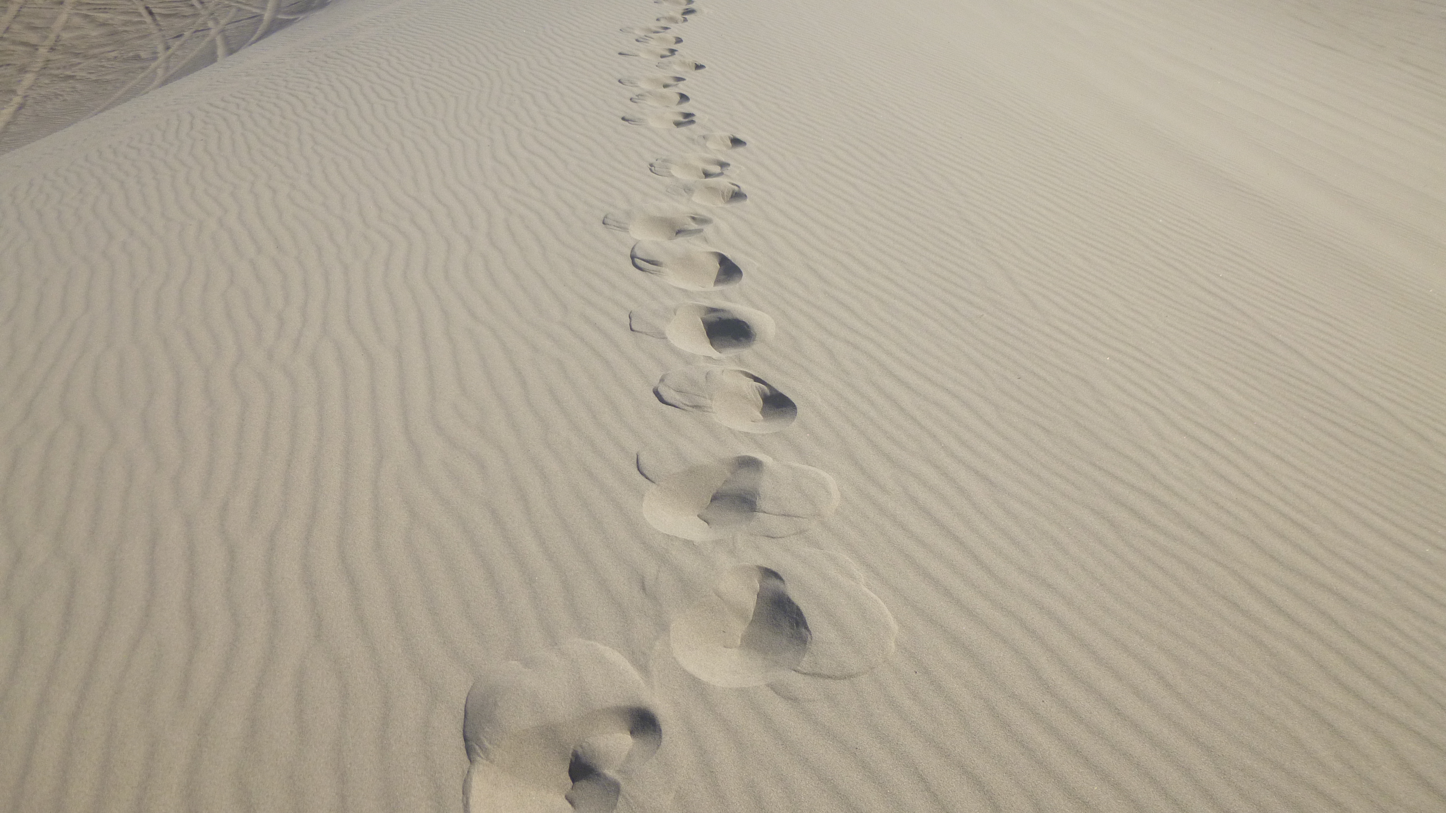
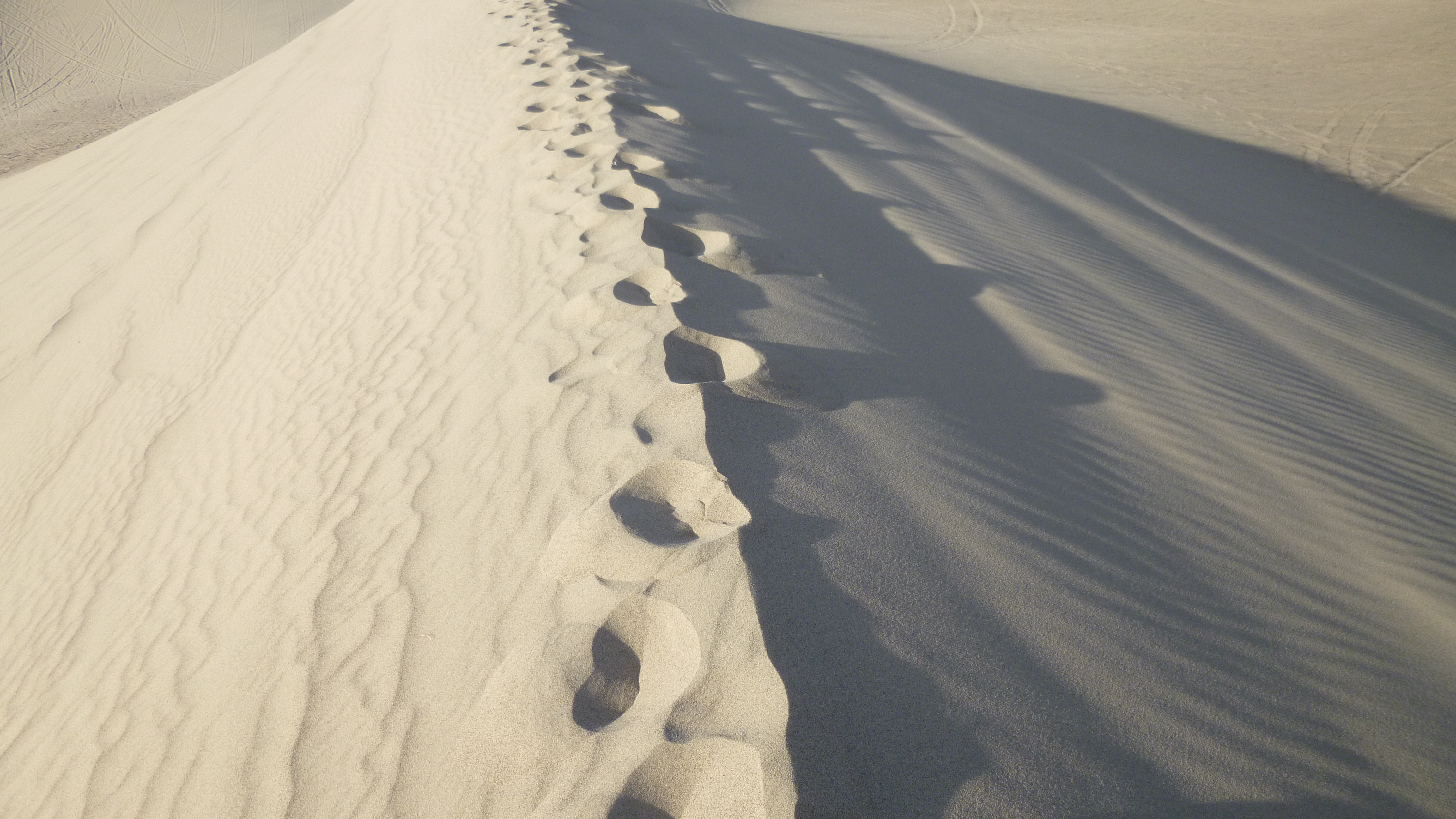
And a little farther on I came to Sand Mountain, which is a huge, constantly changing sand dune and the last time we were here, Taryn and I climbed all the way up to the top. It gets really steep at the top and requires crawling up on hands and knees, and even with that, we kept slipping backwards. I didn’t plan to climb all the way up again today, partly because of the heat, although the sand didn’t feel as hot as I expected it to. I climbed up to the point I had to start using hands and knees, and then settled on a smaller sand dune instead. The wind is constantly blowing the sand around, and the tops of the dunes have a knife-edge crease to them, which is kind of fun to walk across. These dunes are known as the “singing dunes” because if the conditions are right, one can sometimes hear a humming sort of sound while running down the dunes – Taryn and I heard it last time; I may not have been high enough this time because I didn’t hear anything. When I was finished on the sand dune and heading back out to the highway, I passed a turnoff to see the remains of an old pony express station. Tula and I followed a roundabout path to the crumbling brick structure, and the different rooms of the old station were still visible. It wasn’t a very comfortable place for the pony express riders to relax, but it served its purpose with a couple corrals for the horses attached to stone building, which also had a blacksmith room, a kitchen and small living quarters. This station was used for the pony express riders, and then later it was used to store batteries for the telegraph lines up until 1900. After the telegraph people stopped using the station, it was abandoned and the sands covered up the whole station, and it was forgotten until 1976, when it was uncovered once again.
I didn’t make a donation today since I had doubled up yesterday, and I knew what I’d be doing in the morning for another donation.
I had spent quite a bit of time on the sand dunes in and at the pony express station, and the sun was beginning to go down, but I still needed to cover some miles. I’ve driven this road before and it was mostly desert anyway, and there wasn’t much traffic. I stopped in the town of Austin to get the passport stamped at a gas station, and then drove on through Eureka, where I got another stamp. It was pretty late by the time I got to Ely, which was my stopping point for the night, but I was glad to have made it all the way back across Nevada.


Nevada – Monday, September 9
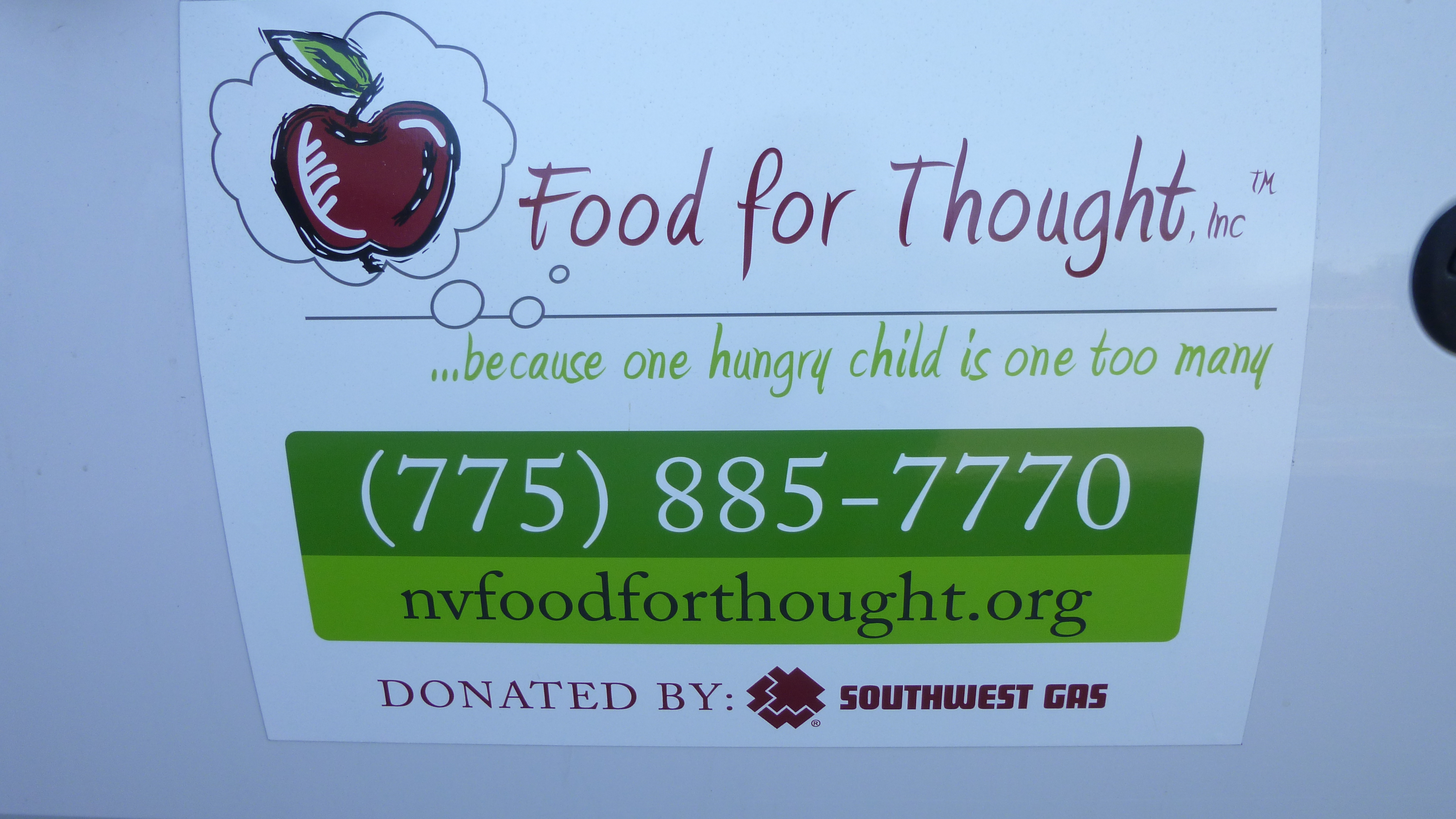
It was time to think about making my way back east across the state, but there were a couple donations I wanted to take care of first; one of which was the reason I stayed in Carson City one more night. There’s a program in town called Food for Thought, and they discreetly provide nutritious bags of food to about 800 local schoolchildren in 12 schools. I read somewhere that in this part of Nevada, 50-60% of the schoolchildren qualify for some kind of aid. They needed a variety of foods that come in individual portions so I shopped for fruit snacks, applesauce cups, peanut butter and crackers, granola bars, instant oatmeal and juice boxes. I found the Food for Thought office and dropped off the food. We talked about my journey a bit, and they talked about the numbers of kids in need. Then they mentioned what a clear day it was – apparently most of last week the town was so smoke-filled from the Yosemite wildfire that people were wearing masks and the mountains just across the street from the Food for Thought office were obscured by the smoke. I was so relieved it had cleared up by the time I was there, because I don’t think I’d be walking 8 miles in smoke. (The first picture for this post shows how close the mountains were which were completely hidden by smoke last week – kind of hard to believe!)
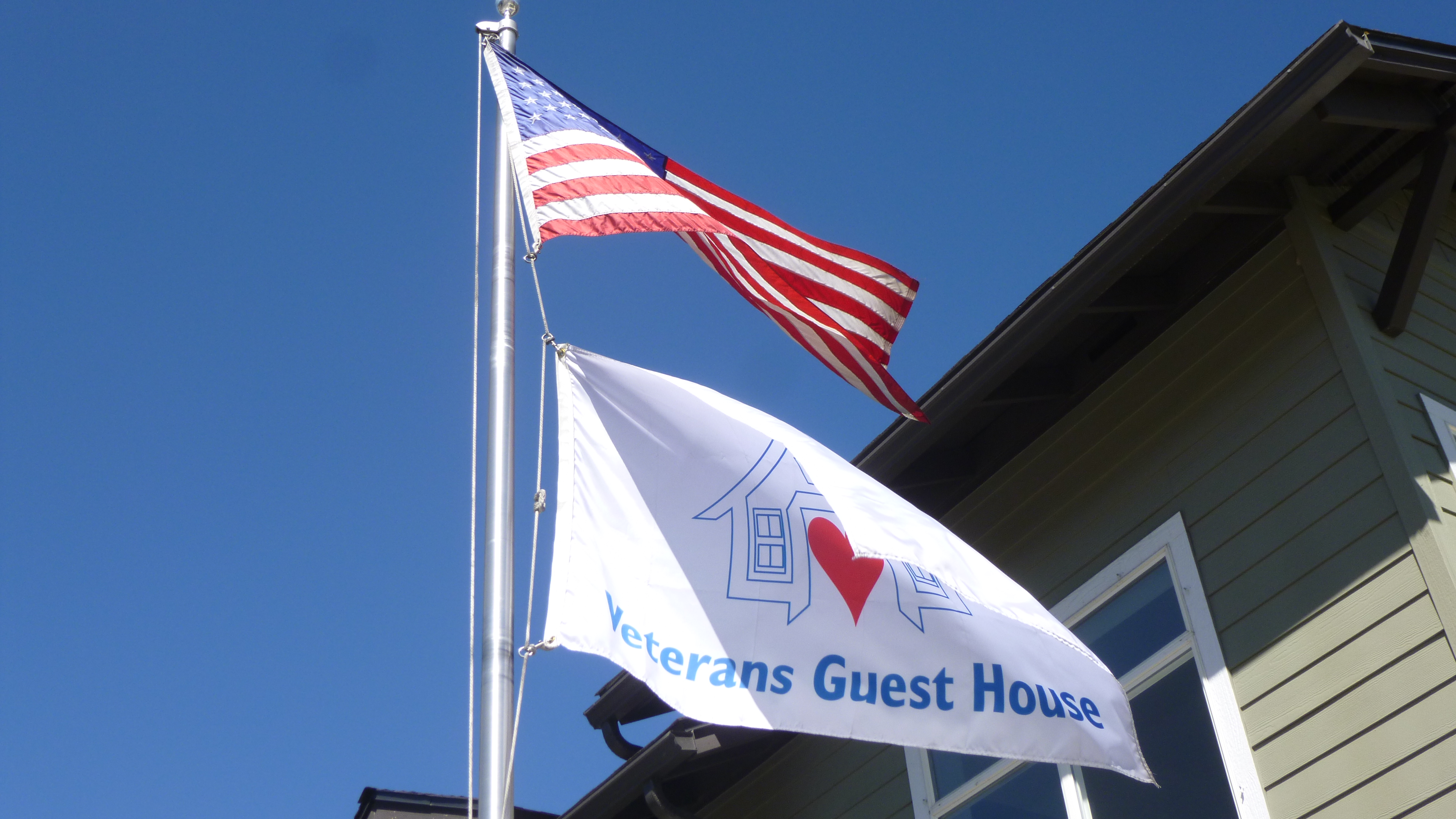
From there I drove up to Reno to make my next donation, which was going to the Veteran’s Guesthouse. This is a large home right across the VA hospital that veterans and their families can stay in while they’re in treatment. I met Kathy, the house manager, and they were very pleased with the donation. Kathy showed me around the home, and told me about its history, and the guesthouse seemed like such a good idea, it made me wonder why there aren’t more of them (probably for financial reasons!) They can house up to 19 people, and there are a variety of room options – most have 2 twin beds, but there are a few single rooms for the PTSD patients who simply can’t be around other people all the time. And the patients are welcome to stay as long as there’s a medical need for them to do so, whether it’s for a week or a month or longer – it’s kind of like a Ronald McDonald house for veterans. If their rooms get totally full, the nearby Sands Motel is generous about taking any overflow when it’s necessary. They are starting to see more and more veterans from the Vietnam War era with Agent Orange complications. This guesthouse started as a “spouse house” nearly 20 years ago, when the founders, who were veterans, noticed people sleeping in the hospital parking lots because they couldn’t afford motel rooms in addition to the expenses of coming in for medical appointments. And since then the house has been remodeled, and they also acquired the house next door for a few more bedrooms. I really enjoyed the visit, and meeting the people (and got a fresh-baked cookie that a group of them were baking!) and it’s fun for me to run across a new and different donation opportunity after a year on the road.
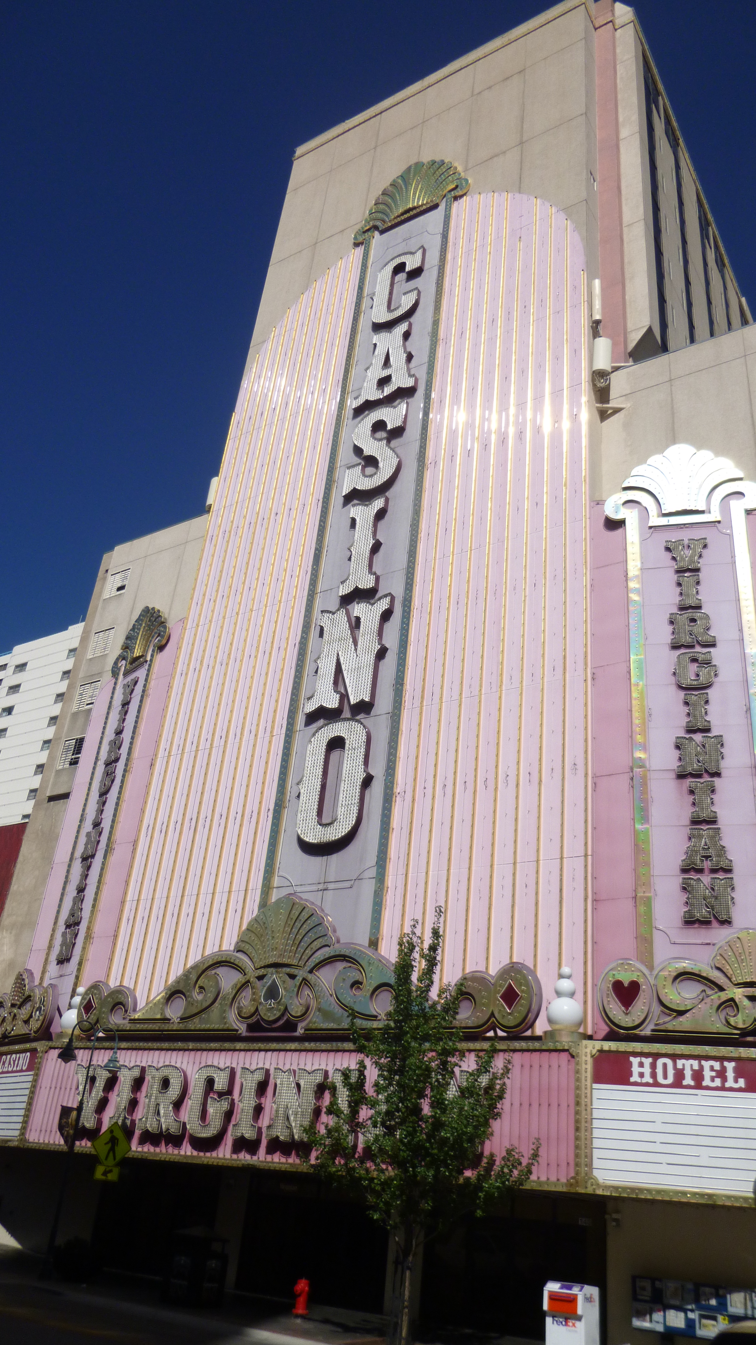
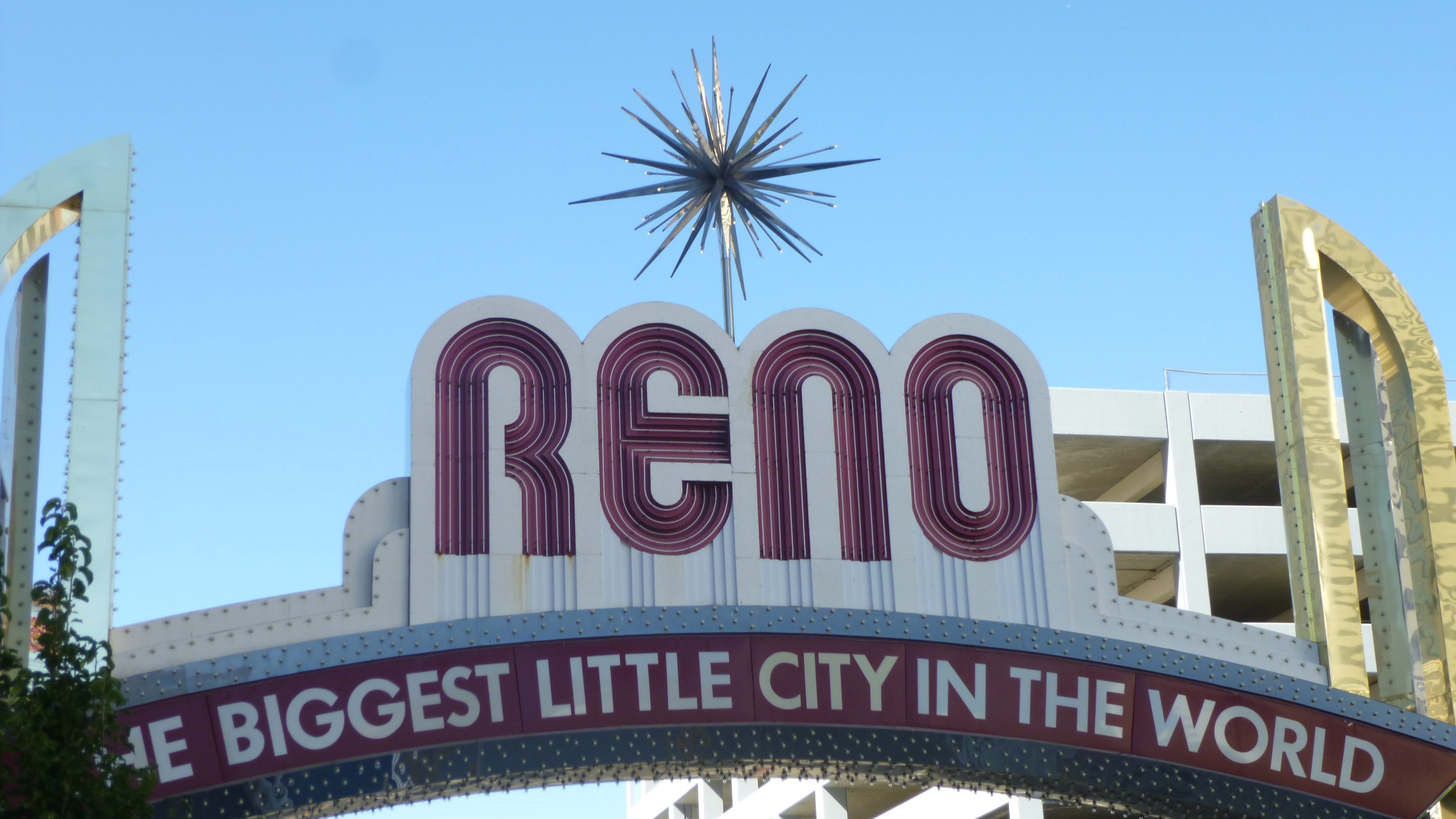
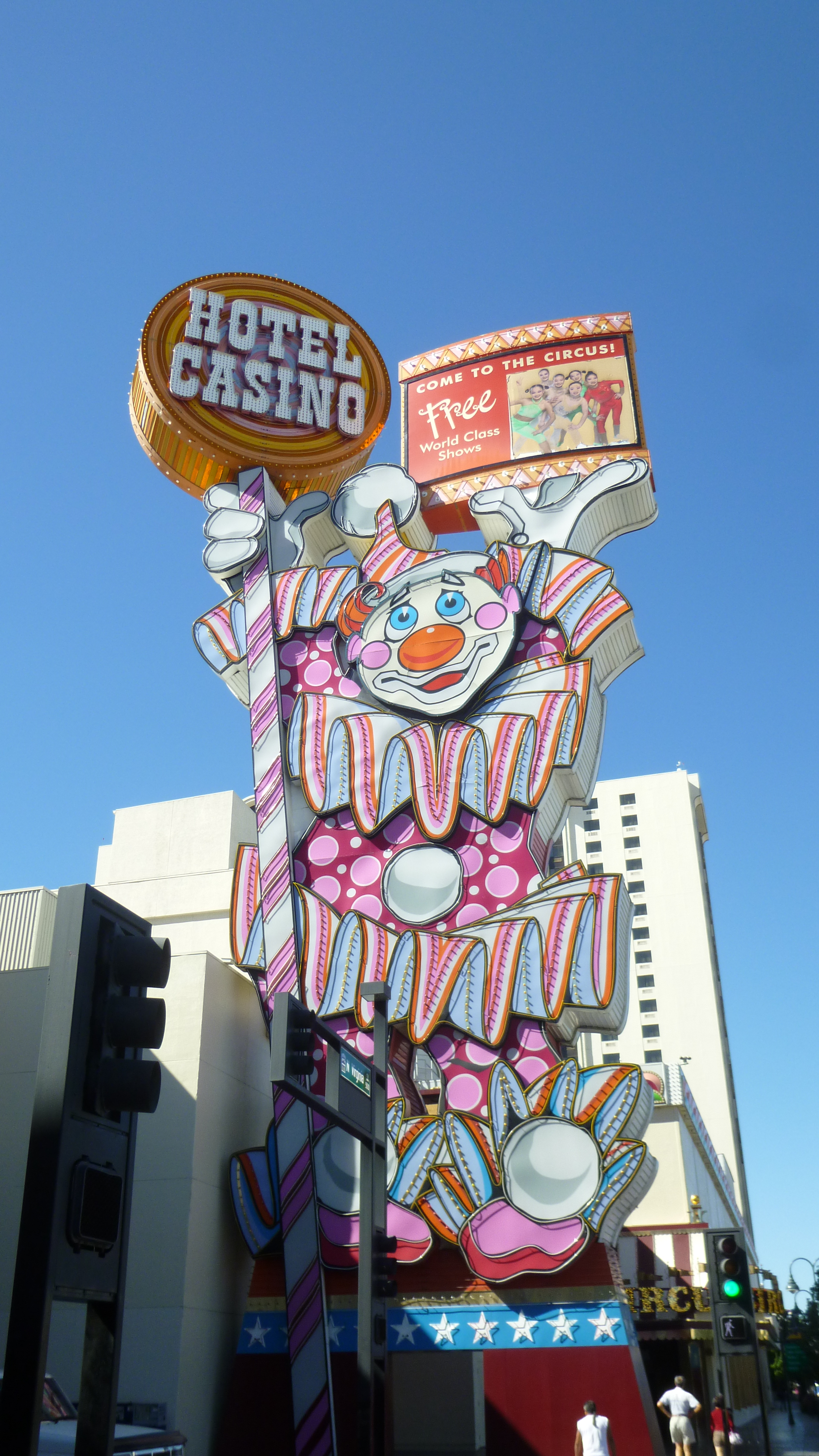
This had all taken some time, and I hadn’t done any walking yet, so I had to get going with that. It was another hot day, and Tula and I walked about a mile right around the guesthome and hospital area, and then we went back to downtown Reno. I walked a mile and a half through the old downtown part of Reno, which had a very different feel to it than Vegas. Reno was a gambling mecca for Californians before Vegas sprang up, and kind of retains a more old-style feel to town than Vegas does. There’s lots of casinos and hotels, but they’re not the big theme hotels that Vegas has, and I think some of the neon lights and signs have been around for decades! Then I found a river walk in town and Tula and I walked another mile and a half along that. But there seemed to be quite a few homeless people around, and there was a group of young kids, who seemed to have all their possessions with them, hanging out by the river, and a couple of them were even washing their hair and bathing in the river. Hmmm… I saw a more interesting place to walk up ahead, and decided to get the car over there too since there was free parking. Tula and I went on a nice shady 4 mile walk along a different part of the river through a nicer neighborhood and into a big park. By then I had worked up a good appetite, and recalled the big flashing neon sign downtown advertising $5.99 prime rib dinners. That was too good to pass up. So I drove back downtown, and went in the casino/hotel where I almost got lost trying to find the restaurant. And I had my $5.99 prime rib dinner – it was actually a really nice big prime rib, cooked just right. There was no choice of sides – it was fries and a cup of soup, but definitely worth the price!
By the time I was done with all the walking and dinner, it was getting dark, and I didn’t want to start my drive across “The Loneliest Road” at night. So I used some of my travel points for a free night at a motel a bit east of town, where I’d be ready to head off across Nevada first thing in the morning.


Nevada – Sunday, September 8
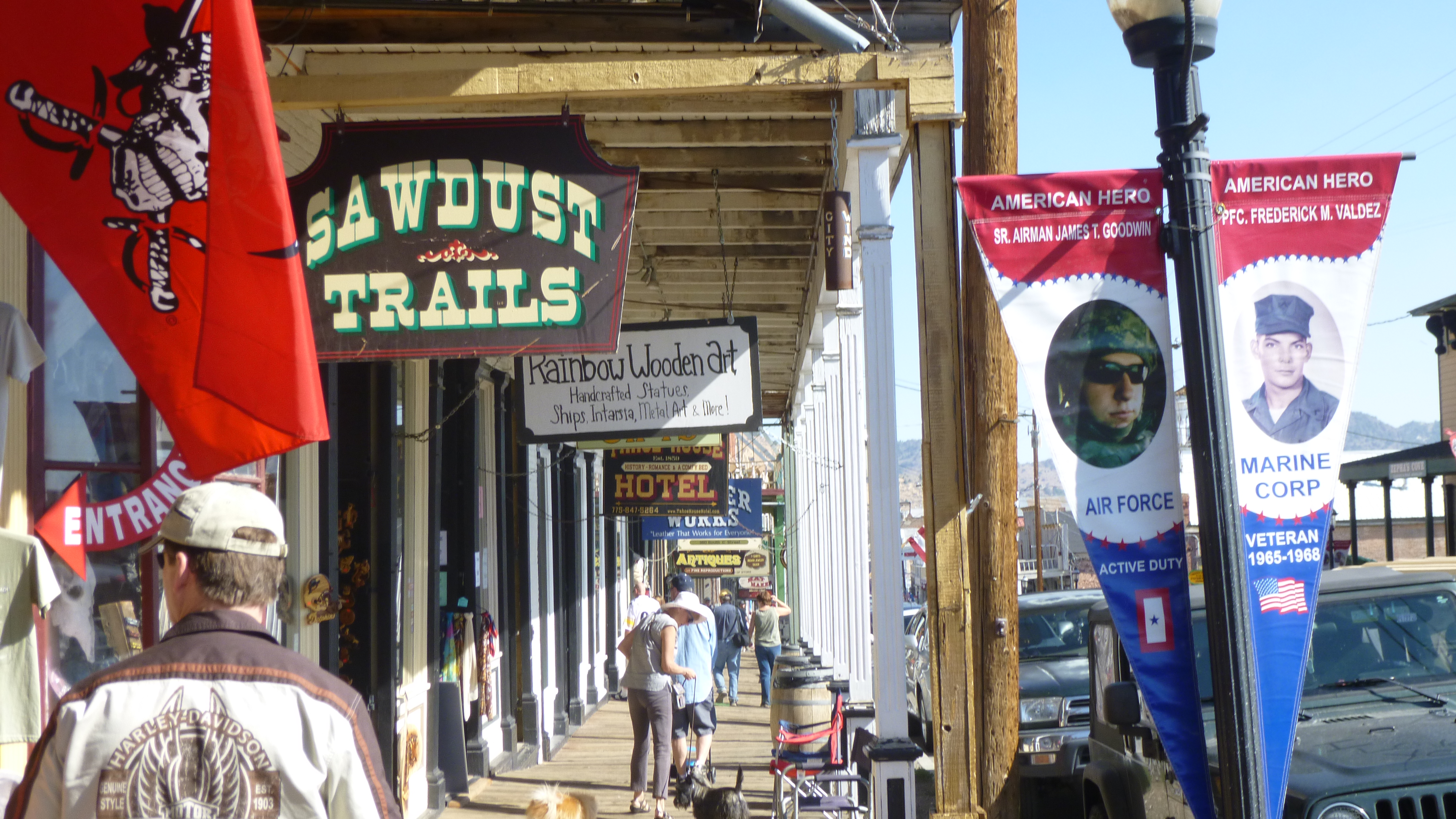
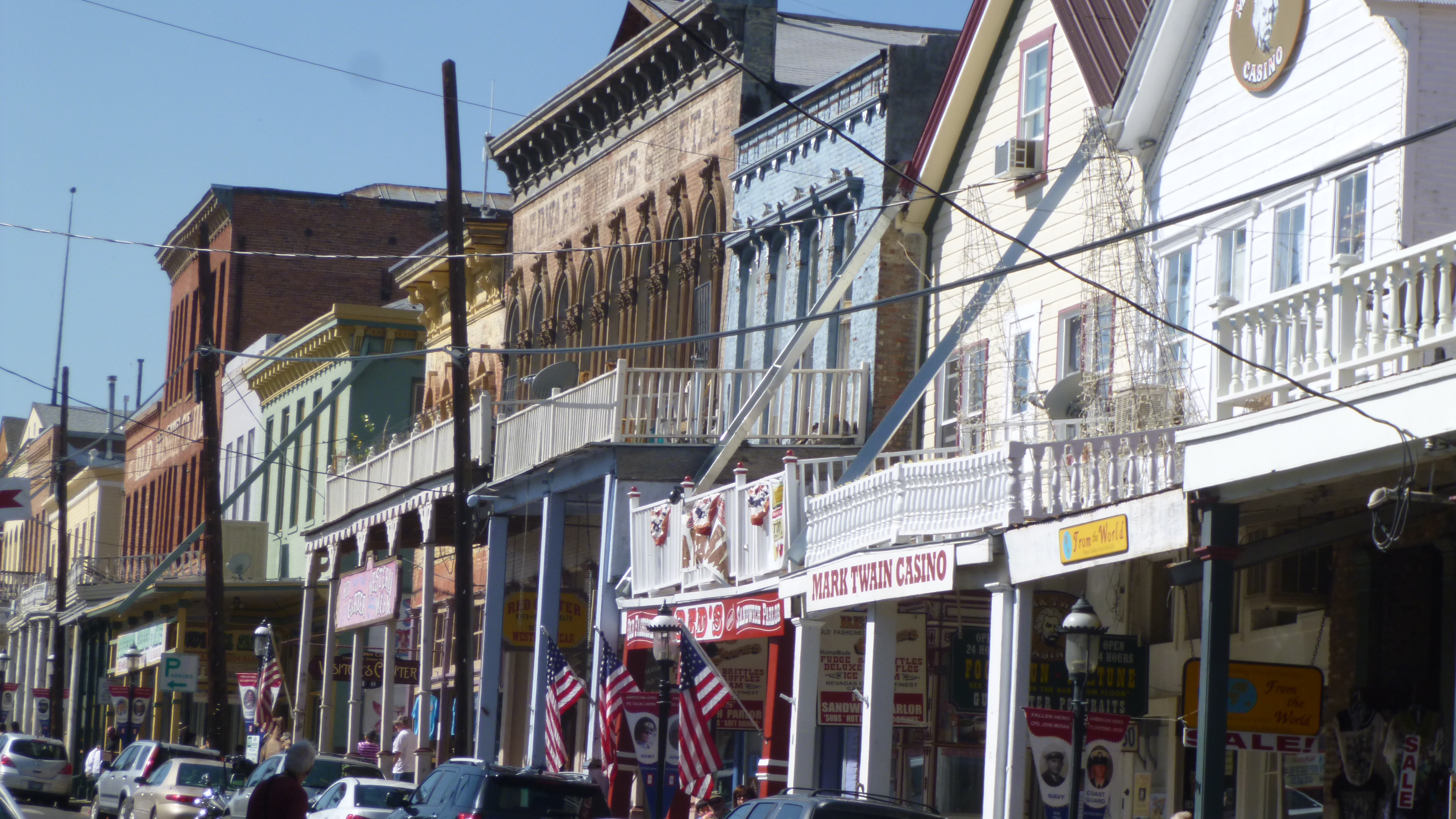
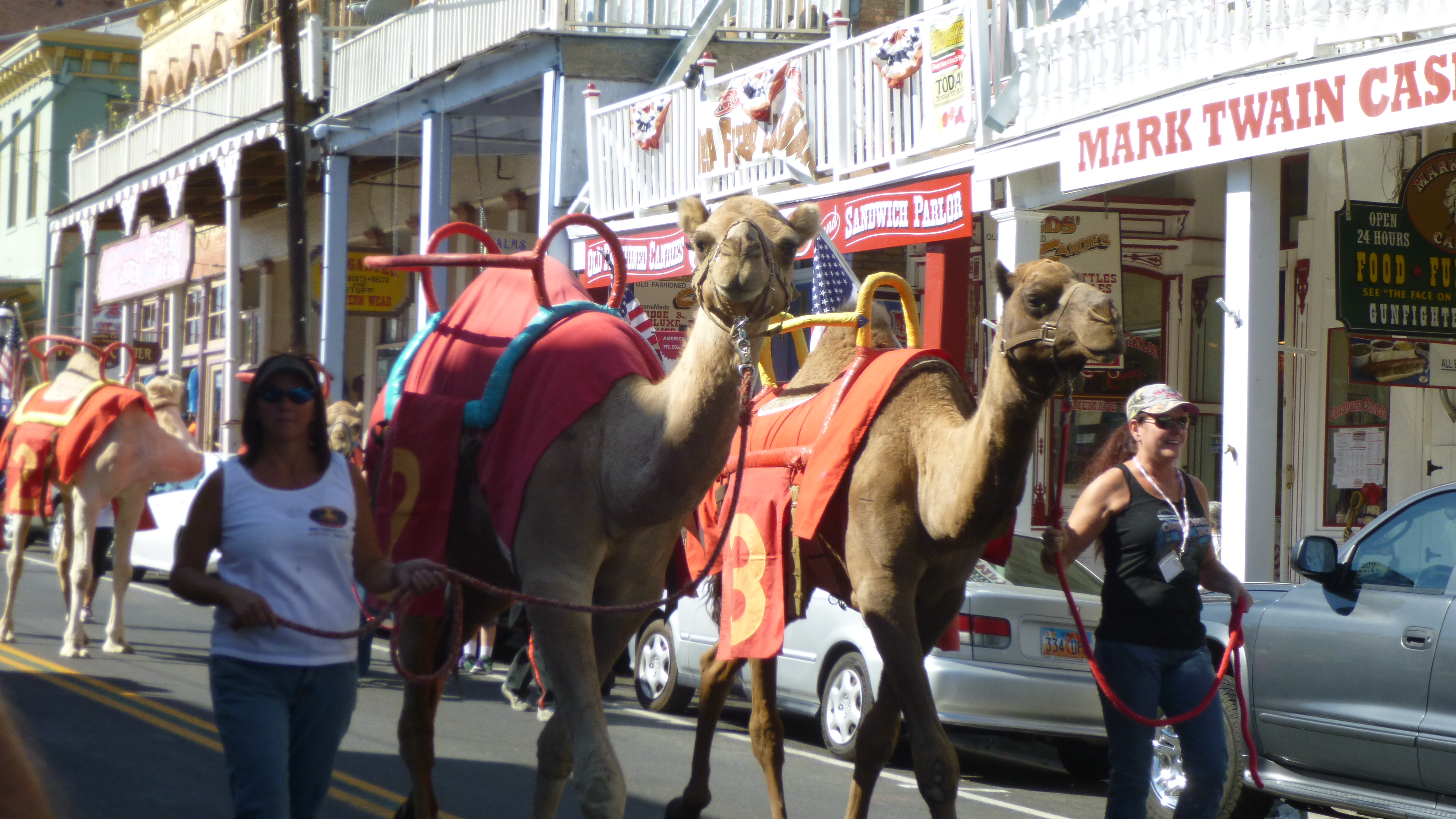
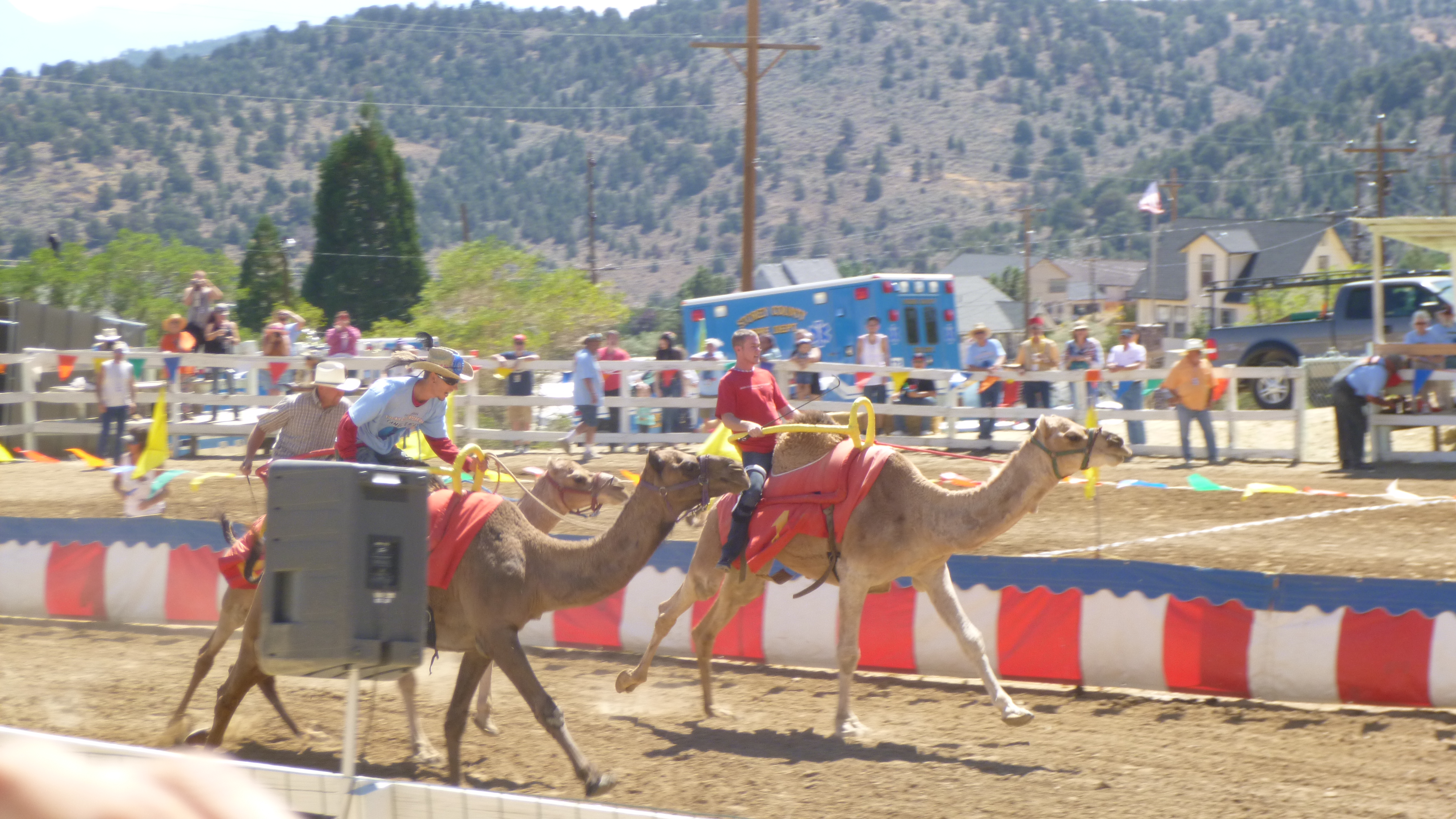
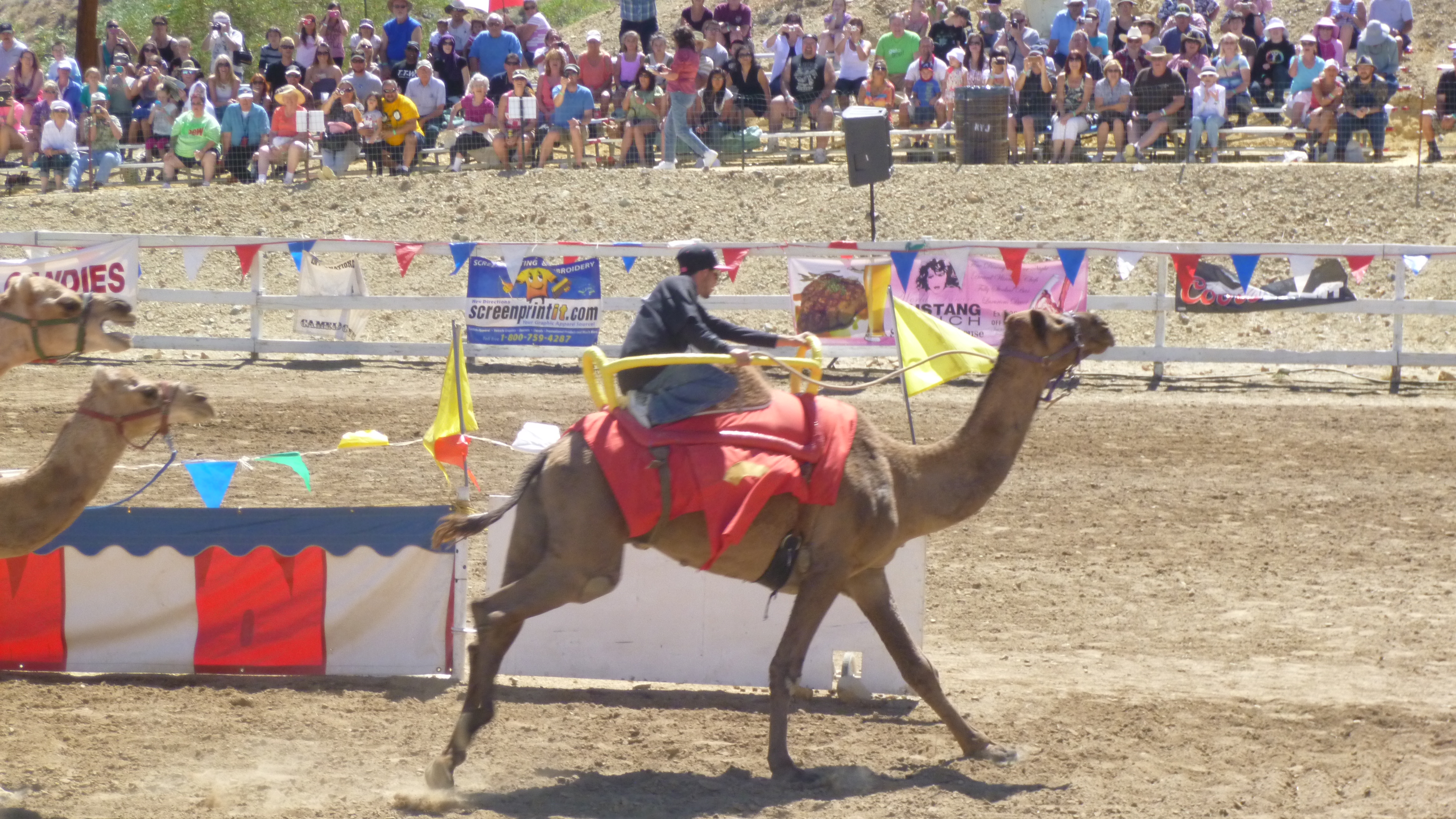
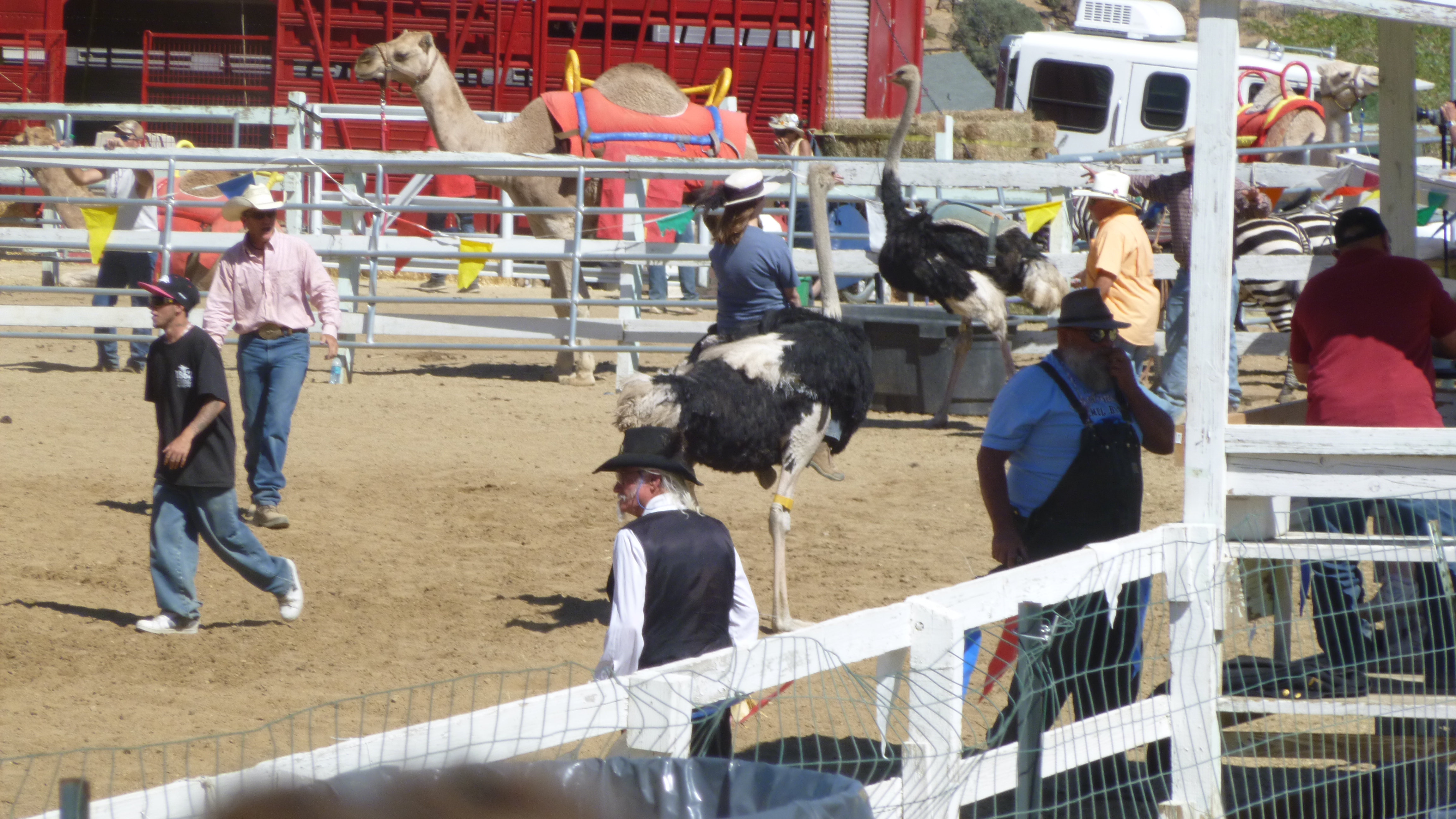
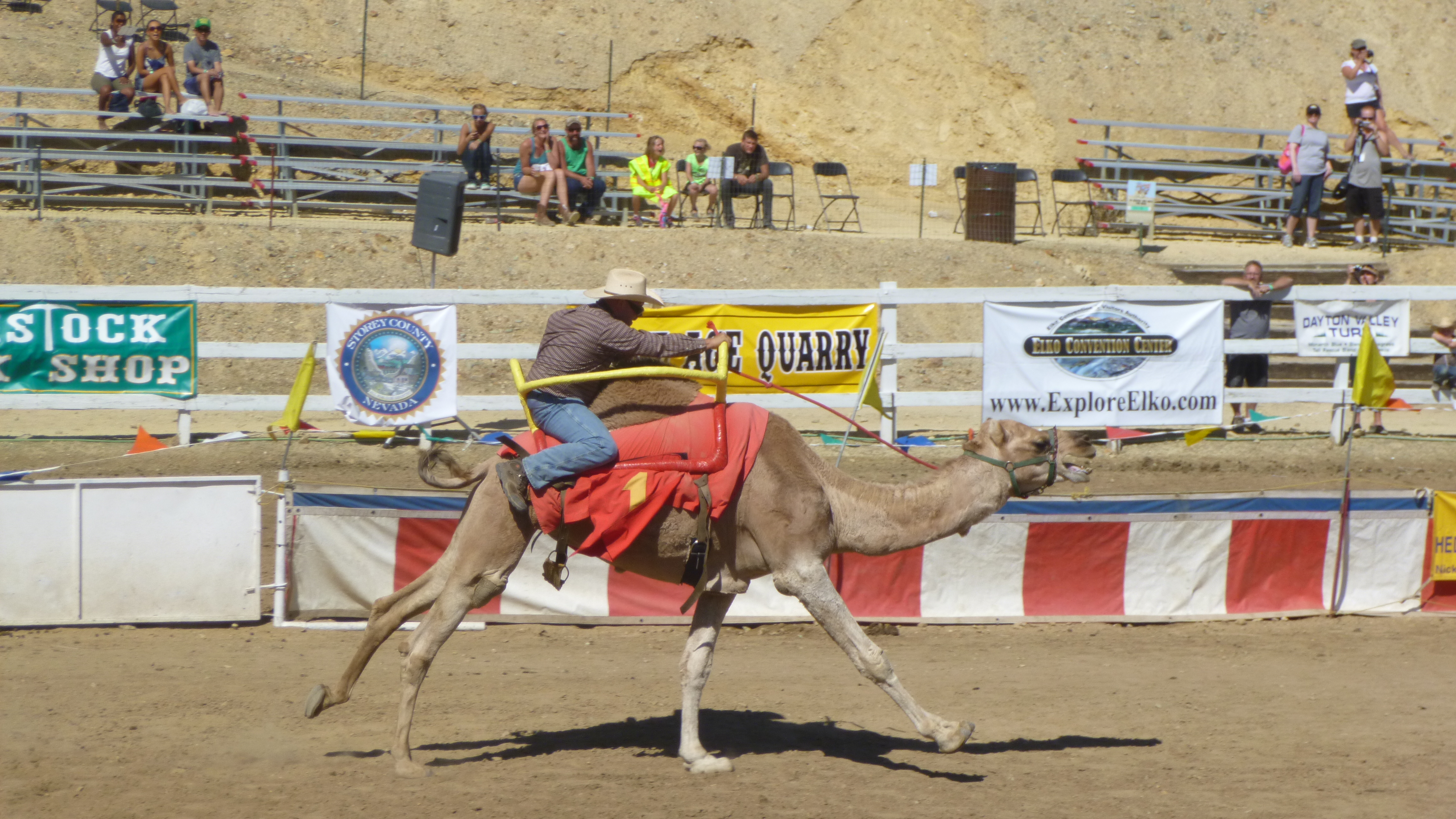
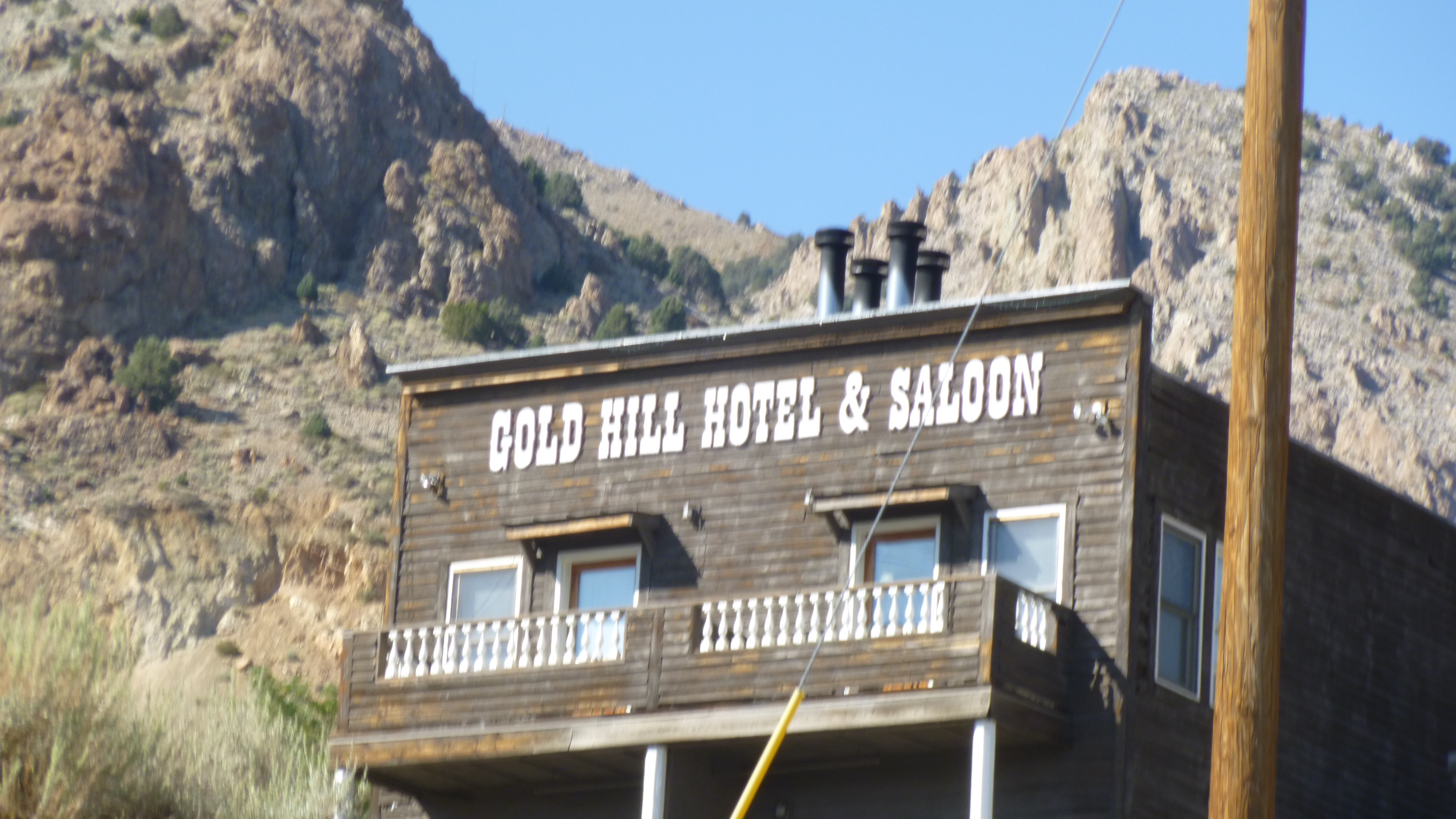
First thing this morning I headed up to Virginia City – a booming gold mine town back in its day. The town retains its old west character with shops in old wooden buildings and wooden walkways, and it doesn’t take much imagination to imagine the chaos of thousands of miners working their claims outside of town and then coming back into town to visit the saloons – some of which (the Bucket of Blood for one) are still open today. Virginia City is host to quite a few special events during the course of a year, and this weekend the town was hosting its annual Camel and Ostrich Races. I had to go see what this was all about. There have been camel races in town for decades. In the early days of mining, camels were sometimes used to haul gold and ore and other supplies across the desert, and inevitably there were occasional races. Camels can be temperamental though, and when the railroad came through town, many of the camels were simply turned loose in the desert to fend for themselves. Then one year, a newspaper editor, who was a bit of a prankster, posted a fictitious ad about some upcoming camel races, and then he also published the “results.” It was all meant to be a joke, but the wire services in California picked up the story, and some newspapers published the news. A newspaper man out in California was annoyed to have been deceived by the fictitious story, and when the prankster repeated his fake ad the next year at the same time, the California guy decided to call his bluff, and he called his Virginia City counterpart to say he was going to enter a couple camels in his race. The California guy didn’t have any camels of course, so he went to the zoo and they were apparently happy to loan out some camels for a race. The Virginia City guy realized that the race really had to happen now that he had legitimate entries, and he set out to find a few more camels. And there were some Hollywood people in town like director John Huston, who rode one of the camels, and thus the annual Virginia City camel races were born.
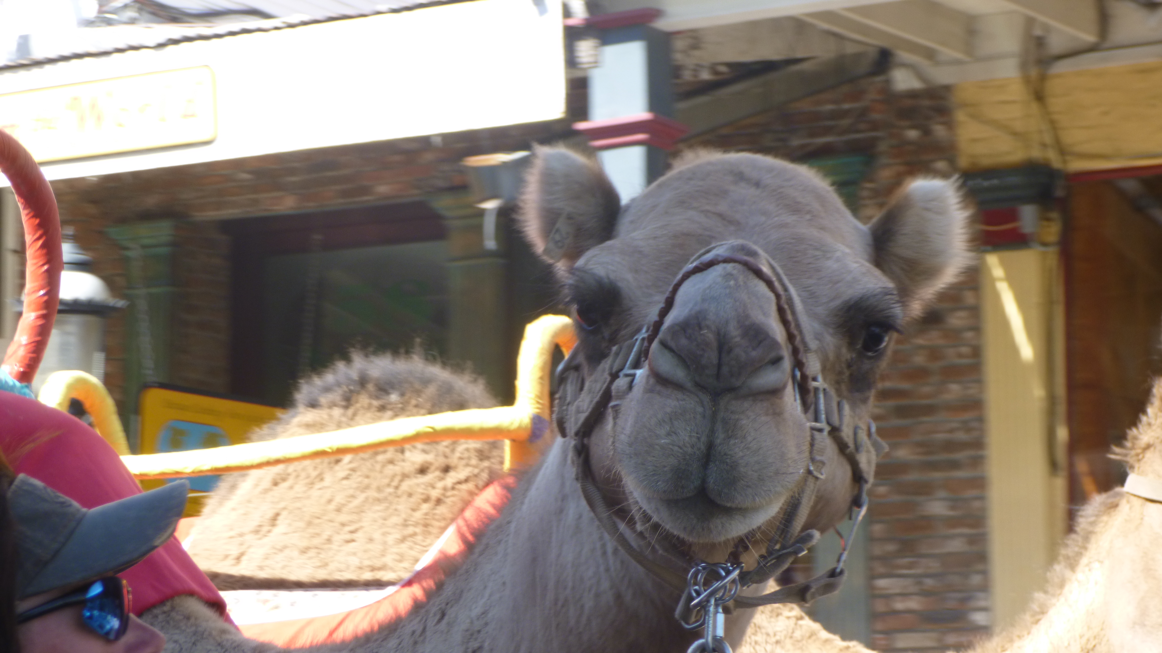
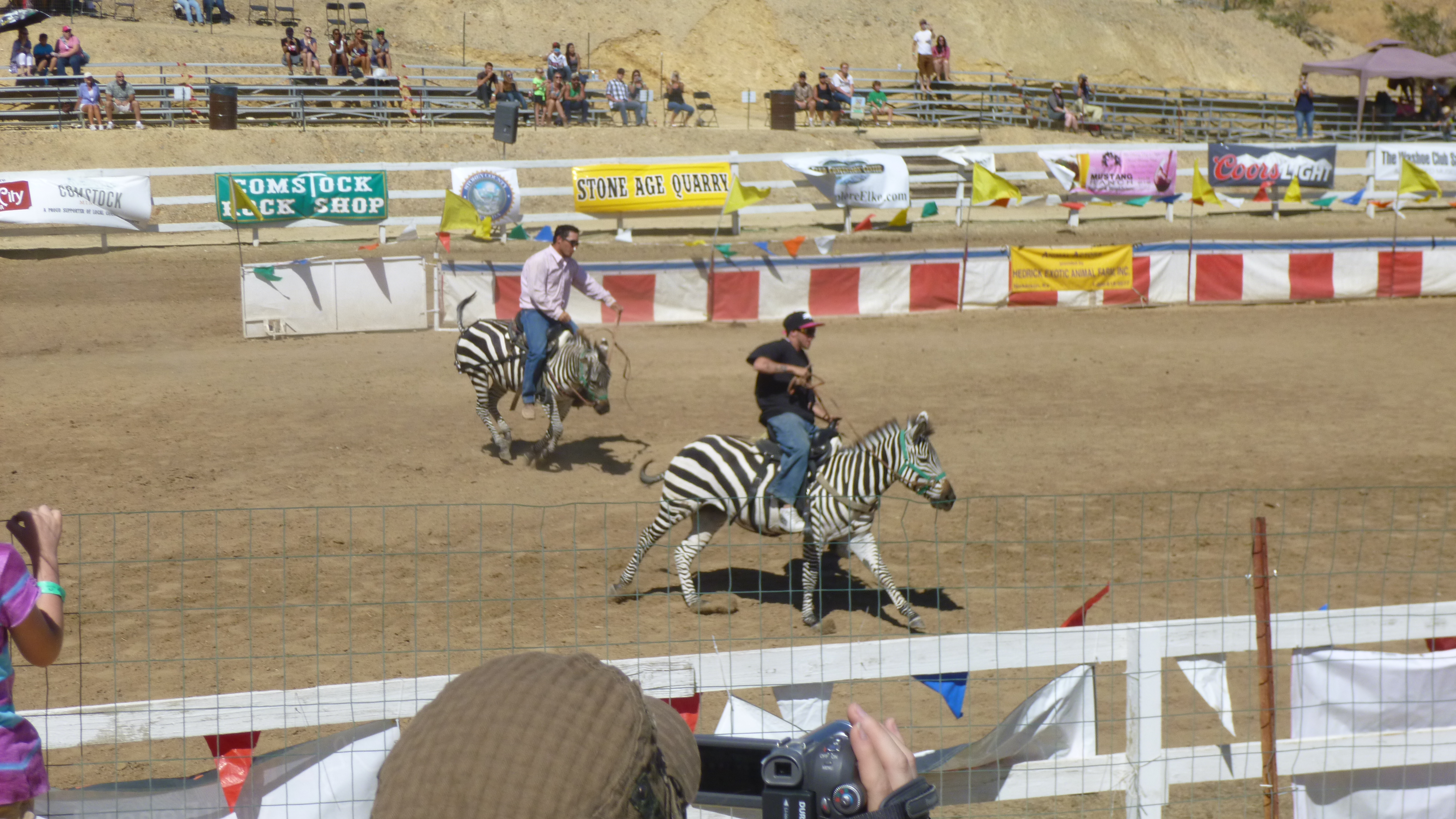
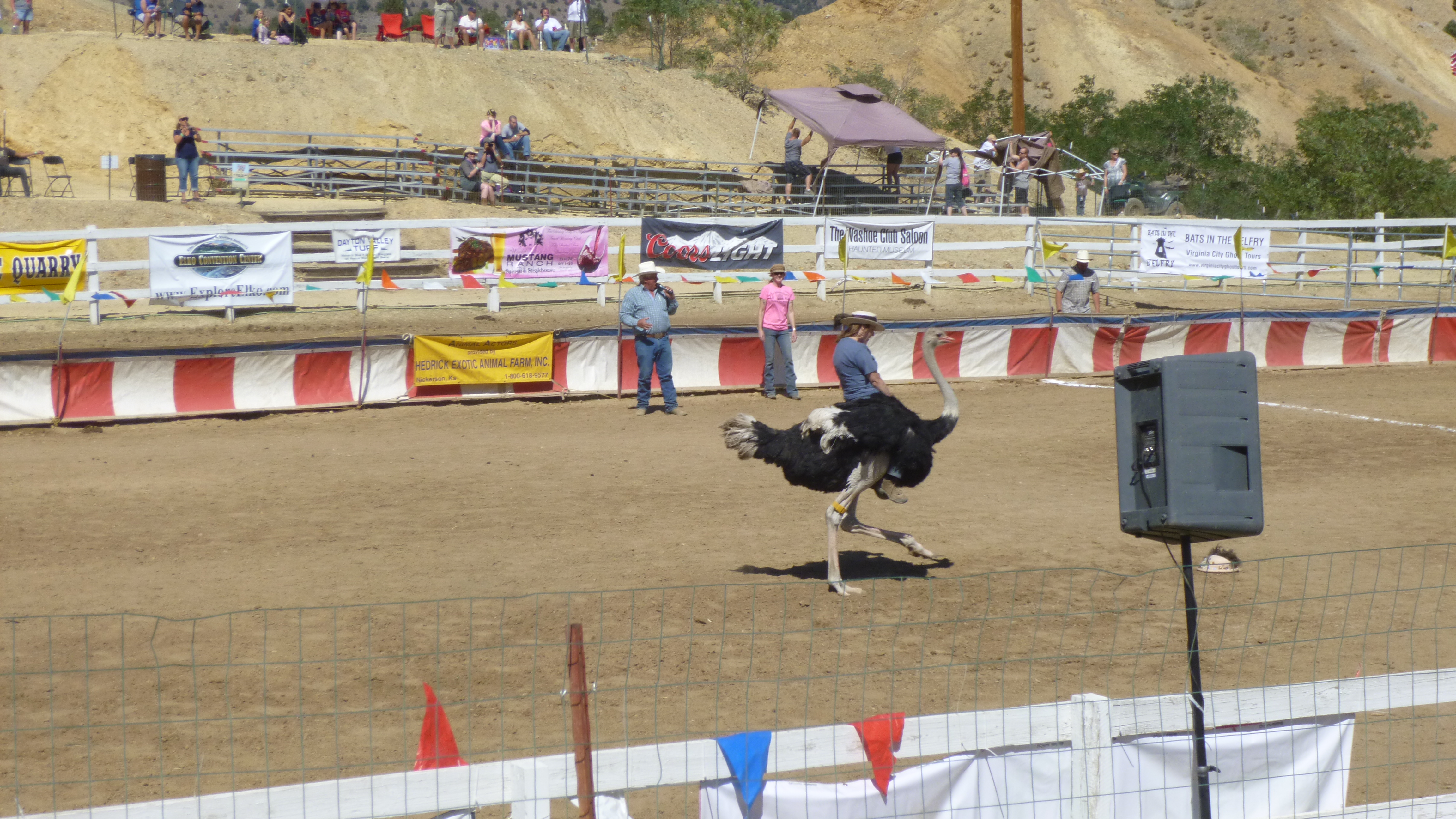
The town was full of people for the festive weekend, including some who were dressed in old west attire, and there was a prospector with his donkey (have to pay to take photos) and different animals to pet and all sorts of touristy things. There was a very short parade of the camels down the main street (one of the camels went into one of the saloons the night before) and Tula and I walked all around soaking up the “old west” atmosphere. Tula was not fazed at all to see camels walking in front of her. Pets were not allowed at the actual races, so she stayed in the car. The races were silly and goofy, but it’s the kind of thing that’s fun to actually see – the racetrack was short and the MC introduced each animal before a race, and well as the “jockeys”. Only 3 or 4 animals raced at a time, and there’s a great deal of unpredictability. One of the camels turned around in the starting gate and came out late; one abruptly started running in the wrong direction partway through the race and another one fell while rounding a corner (camel and jockey were okay). I’ve heard of people riding ostriches before, but wasn’t sure if it was really true, but now I’ve seen with my own eyes that it can be done. Ostriches have really strong legs, and can badly injure and/or kill animals or people if they strike out. The ostrich jockeys sit right behind the wings, and are not really in control of their animals – the ostriches are racing back to the starting gate for treats! It was quite a sight! And then there was a zebra race – I’ve never heard of that. Zebras don’t typically have the sort of temperament to be calm, backyard pets that can be ridden. But the farm that provides all these animals (based out of Kansas )raise their animals with a lot of patience and hands-on care and time, and they include the zebras in the racing. This organization has about 70 camels together, and they are busy at Christmas time, providing animals for live nativity scenes, and they provide camels to the Rockettes for their manger scene. They took a long intermission and I walked back to the car to get Tula out for more walking. There are steep hills from the town down to the racetrack and I trudged up and down those several times. I found some good food at one of the many food/snack trucks, and I went back to watch a little more racing after intermission. After one more walk through town (which is literally in the middle of dry desert hills) we headed back to Carson City – I walked nearly 6 miles in town and by the track before we left. There are still some old rigs and rusty machinery around as evidence of the thriving gold and silver mining days and again, I wish I could be teleported back to that era for just a few days to experience it!
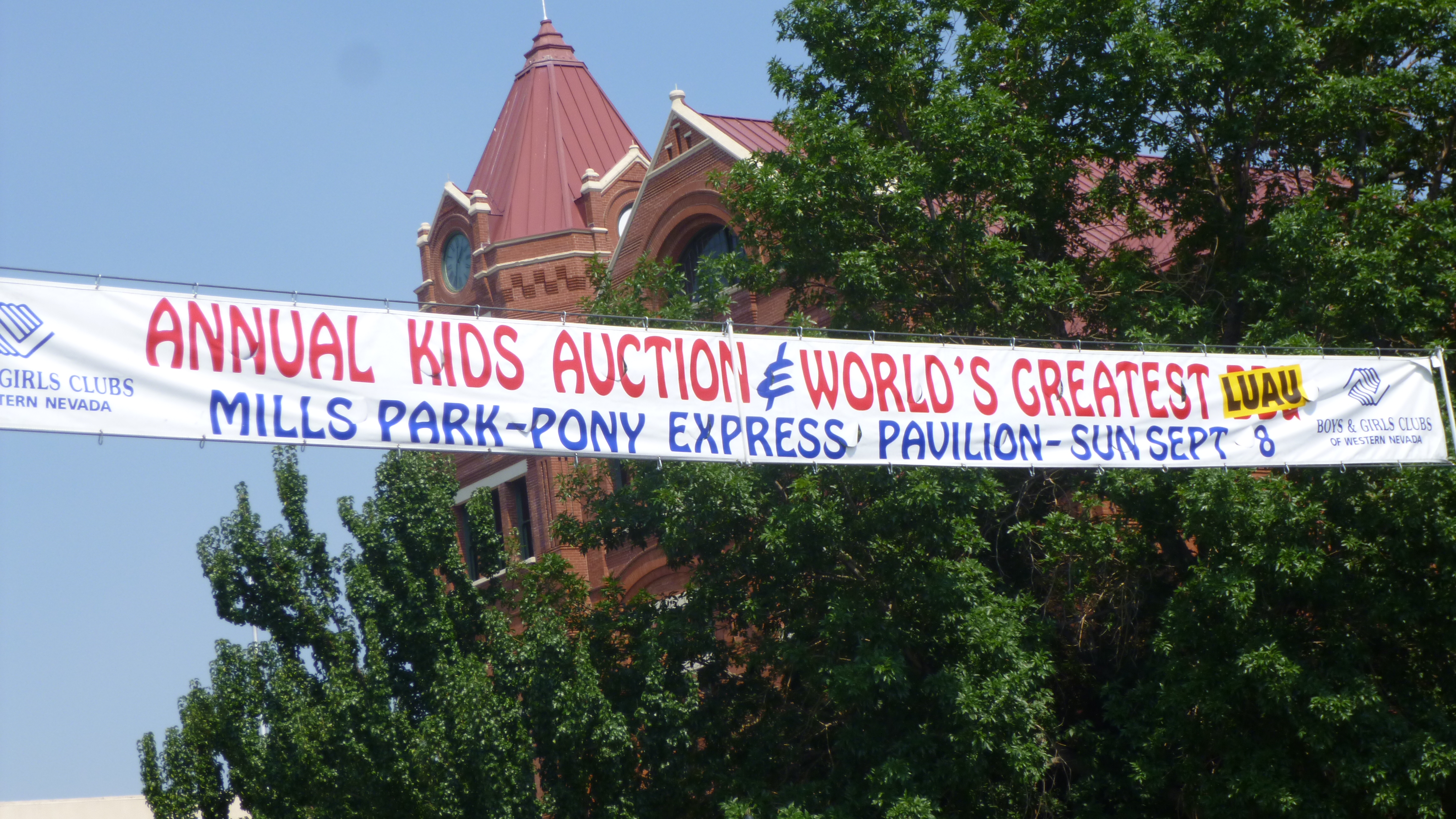
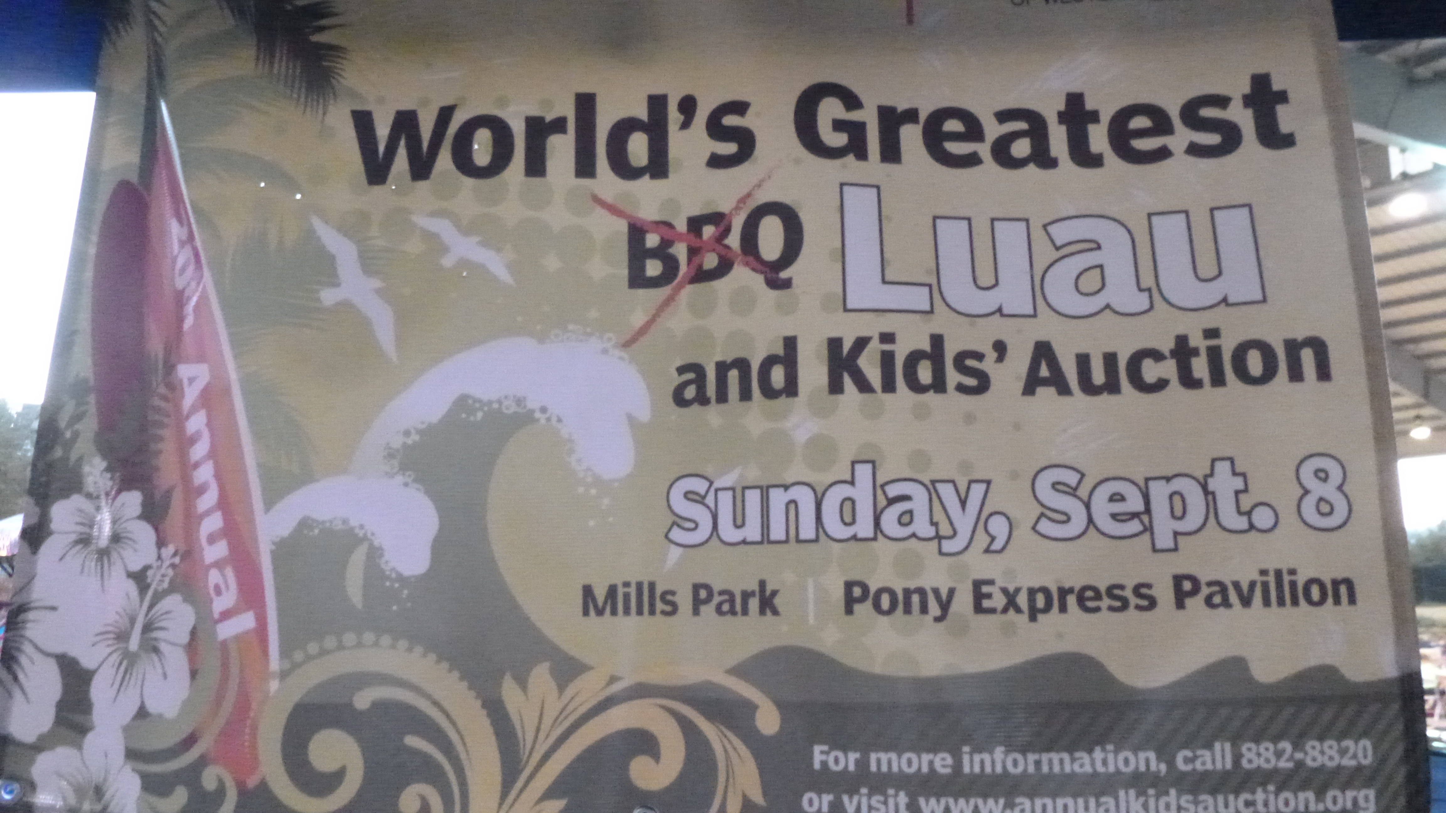
I did a little computer work and then headed out to make my donation for the day. When I was out walking in Carson City yesterday, I had noticed a big banner across Main Street about a luau fundraiser to support the local chapters of the Boys and Girls Club, and the luau was a late afternoon/early evening event. I couldn’t afford the $100 ticket price (this is their biggest fundraiser of the year), but I thought if I went over there toward the end of the event, I could at least contribute my $56 donation. And my timing was good – when I found the park that the event was held at, lots of the people were leaving, and the volunteers had time to talk. I met Bridget, one of the organizers, and she was very appreciative of the extra donation. She told me they’d had a good turnout for the luau – nearly 750 people, and they have hundreds of kids in their programs along with many volunteers, and any extra donations can go a long ways because they have to rely on personal and corporate help with so many kids in the local chapters. She even gave me a t-shirt even though I wasn’t an official guest. So I was glad I stopped by – it was fun to talk with her. Once again, I am struck by the enthusiasm that so many volunteers have for the programs they choose to support.
By now it was getting dark, and I still had a couple miles to walk, so Tula and I just set off on the blue-lined Kit Carson trail that we could follow by the light of the streetlamps. So we finished up our walking and called it a day – another day where I saw something I had never expected to see at the outset of my journey!